Oppenheimer-era Uranium Exploration Ties to Valencia County Geology
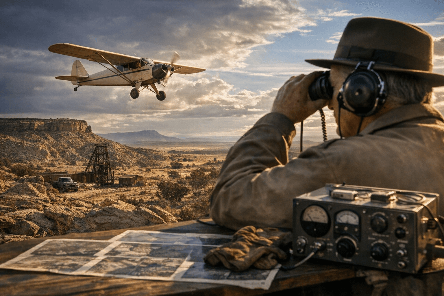
A Piper PA-18 flew at 50 ft over Grants, McKinley and Valencia counties in the 1950s, mapping uranium with a Mark VI scintillometer and producing 15-minute air-photo mosaics.

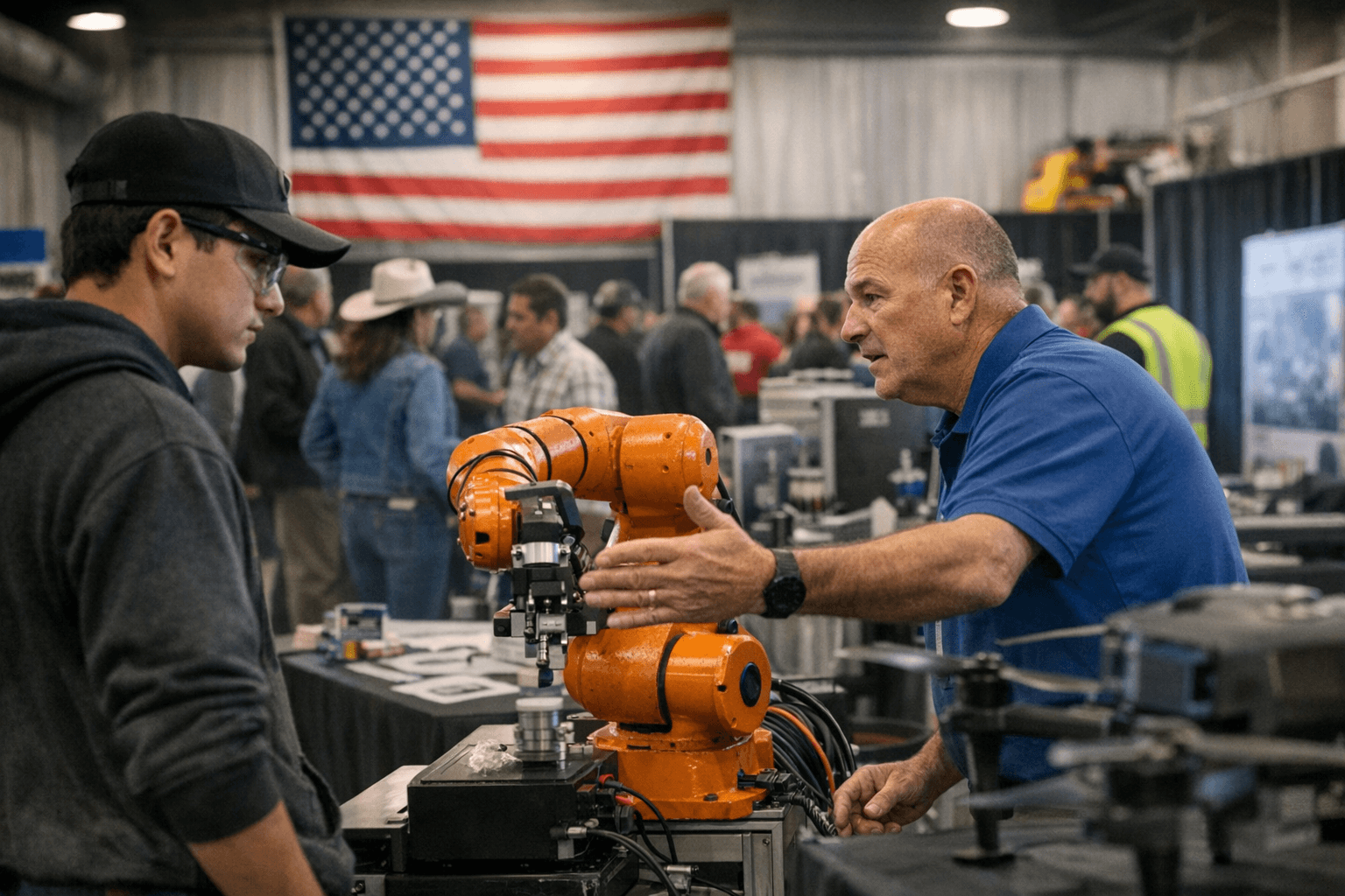
The Grants Mineral Belt uranium discoveries reshaped the region in the mid-20th century, and those finds were the product of systematic aerial and ground work that crossed county lines around Grants, McKinley and Valencia counties. "In the 1950s, airborne radiometric reconnaissance provided the broad-brush strokes that would identify uranium deposits in radioactive outcroppings on the Colorado Plateau," a contemporary account notes, tying the Colorado Plateau surveys directly to the Grants area.
Standards for those surveys were laid out early. "'Airborne Radioactivity Survey in the Vicinity of Grants, McKinley and Valencia Counties, New Mexico' (1951), Frank W. Stead outlines standards for aeromagnetic measurements and radioactivity measurements," the record shows. Equipment and procedure were exacting: "Such aerial surveys were often carried out on a Piper PA-18, 135 horsepower Super Cub, equipped with a Mark VI airborne scintillometer for 'rim and grid flying' with flight lines spaced at 100 foot intervals, at a height of 50 ft in order to produce a 15-minute, semi-controlled air-photo mosaic with a scale 1:62,500 (Chenoweth 1957, 10)."
That technical work fed academic and federal careers. "These projects supported his master's thesis in geology from the University of New Mexico in 1953," records state about Chenoweth, whose AEC-funded study of the Morrison Formation took place "in what was Valencia County (now Cibola County), New Mexico." After the thesis, "He was employed by the AEC thereafter to work on exploratory drilling projects for uranium in the Navajo Nation in northwestern New Mexico and northeastern Arizona." The professional arc continued locally and regionally: "He lived in Grants, New Mexico before transferring to the AEC's central regional office in Grand Junction, Colorado in 1964." Following a 1970 promotion, "After being appointed to the position of Chief of the AEC Geologic Branch at the Grand Junction office in 1970, Chenoweth began studying uranium ore deposits in Wyoming and South Dakota and was responsible for the activities of geologists of the AEC in 14 western states [...]"
The archival and epistemic trail links maps, boreholes and community change. "These graphic artifacts are discursive products of 'discovery' made possible by the physical research activities of geobotanical sampling, airborne reconnaissance, geological modeling, and perhaps most consequentially, exploratory borehole drilling," the analysis argues, and it adds that "geologic memoirs are suspended in webs of interrelations through the Geologic Information Center, and they are associated with noticeable social-environmental impacts on the landscape of the former mining district." The sources also note that aerial work "were followed by ground reconnaissance in" the field, and that "Exploratory boreholes provide the cross-disciplinary linkages between the accumulation of economic and geologic knowledge and information through the epistemic production of geological regions (Schilling 2013; Özden-Schilling 2020). Boreholes connect knowledge produced on the surface with the" deeper record.
Local questions remain for researchers and residents. The Valencia County News-Bulletin fragment used here opens by noting the county's geologic history and that "the Grants Mineral Belt uranium discoveries reshaped the region in the mid-20th century. The" but the item is truncated. Chenoweth's full name is not given in the excerpts, and several passages from the academic account are truncated; available next steps include consulting the University of New Mexico thesis archive, Frank W. Stead's 1951 report, AEC Grand Junction records, and Valencia and Grants historical collections to map the full technical, administrative and social legacy of midcentury uranium exploration in and around Valencia County.
Know something we missed? Have a correction or additional information?
Submit a Tip