Planet Labs Blacks Out Iran Satellite Imagery After U.S. Government Request
Planet Labs cut off satellite imagery of Iran and surrounding conflict zones, retroactive to March 9, after the Trump administration asked all commercial providers to comply indefinitely.

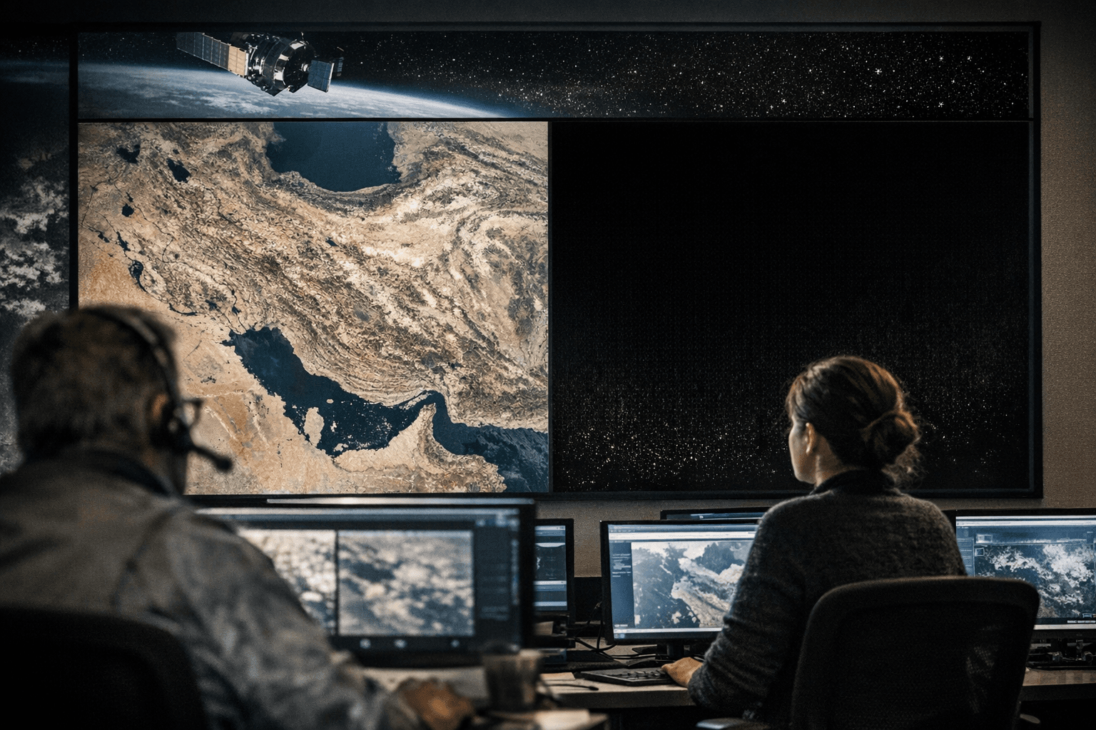
Planet Labs PBC, the San Francisco-based commercial satellite operator with one of the largest Earth-observation fleets in orbit, told customers Saturday it would indefinitely withhold high- and medium-resolution imagery of Iran and the broader Middle East conflict zone, complying with a request from the Trump administration that extended to all commercial satellite imagery providers.
The company announced the decision in an email to customers, stating it was moving to a "managed access model" effective retroactively from March 9, releasing imagery only on a case-by-case basis for "urgent, mission-critical requirements or in the public interest." The policy is expected to remain in place through the end of the conflict, which began February 28 when the United States and Israel launched aerial attacks against Iran.
The blackout did not arrive without warning. Planet Labs had already imposed a 96-hour delay on imagery across the region in the weeks after fighting began, then extended that hold to 14 days. Saturday's announcement converted those temporary measures into an open-ended restriction with no public timeline for reversal. The progression, from days to weeks to indefinite, traces how quickly a conflict can transform the civilian satellite-imagery market into a contested national-security instrument.
The practical fallout cuts across multiple industries. Journalists and nongovernmental organizations that relied on Planet Labs imagery to document civilian harm, monitor infrastructure strikes and verify battlefield claims lost their most consistent independent visual record of the conflict. Shipping companies and energy-sector insurers that use near-real-time imagery to assess risk in the Gulf of Oman similarly found their data pipelines interrupted. A March 15 Iranian strike on Al Udeid Air Base in Qatar had been visually documented through Planet Labs imagery before the full blackout took hold; that kind of independently verifiable record is now subject to government gatekeeping.
The national security rationale is not implausible. Military analysts have warned that commercial imagery at high resolution can allow adversaries to identify targets, track troop movements, and refine weapon guidance, concerns the U.S. government cited when it asked providers to impose the initial delay. The regulatory mechanism involved is known informally as "shutter control," the government's authority to request that commercial operators restrict distribution in the interest of national security. Planet Labs described its compliance as voluntary, framing the circumstances as extraordinary, though the practical effect is identical to a mandate.
What remains unresolved is the oversight question. No public framework currently specifies which government agencies can initiate such requests, what legal authority underpins them, what review process determines when imagery is safe to release, or how providers should handle competing obligations to paying customers. Planet's "managed distribution" channel creates a de facto two-tier system: vetted organizations and governments can appeal for access, while the broader press and public cannot. That asymmetry is likely to draw scrutiny from press-freedom advocates and congressional oversight committees.
Analysts also noted that pushing researchers and newsrooms toward non-U.S. providers, including European and Asian commercial operators not subject to American shutter-control requests, could accelerate a long-term fragmentation of the geospatial-intelligence market. In trying to limit what adversaries see, the restriction may also limit what the public can hold governments accountable for seeing.
Sources:
Know something we missed? Have a correction or additional information?
Submit a Tip