Planet Labs Blocks Satellite Imagery of Iran, Middle East at U.S. Request
Planet Labs cut off public satellite imagery of Iran and the Middle East on April 4, citing a U.S. government request — leaving journalists and monitors without a key verification tool.
California-based Planet Labs told its customers on April 4 that it was moving to a "managed access model" for all satellite imagery covering Iran and the broader Middle East conflict zone, complying with a request from the Trump administration that the company described as an "indefinite withhold of imagery." The announcement arrived by email on a Saturday and applied retroactively: any images captured since March 9 would fall under the new restrictions, cutting off weeks of coverage already in the pipeline.
The decision was not the company's first concession to national security pressures since the war began on February 28, when the United States and Israel launched coordinated aerial strikes against Iran. Planet Labs had initially imposed a 96-hour delay on regional imagery, then extended that hold to 14 days. The April 4 announcement collapsed that timeline entirely, with the company stating it would voluntarily withhold imagery "until the conflict ends." Another U.S.-based spatial intelligence firm, Vantor, also restricted access to Middle East imagery following the outbreak of hostilities.
Planet Labs cited "safety and operational security reasons" as the government's rationale, framing the restriction as a measure to prevent adversarial actors from using commercially available images to plan or execute attacks against U.S. and allied forces. The company left a narrow opening for exceptions, saying it would evaluate requests for image release on a case-by-case basis under the managed-access framework for urgent or public-interest needs.
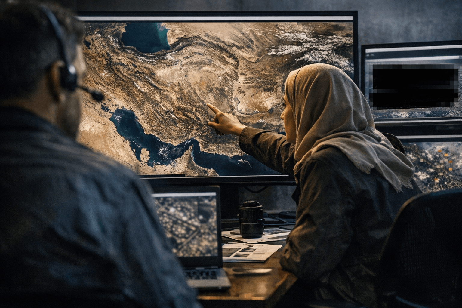
The practical effect on independent oversight is substantial. Planet Labs is among the largest providers of daily, broad-coverage Earth observation imagery, and newsrooms, human rights organizations, and open-source investigators have relied on its data throughout the conflict to verify strike locations, assess damage to civilian infrastructure, and track military movements in areas too dangerous or inaccessible for ground reporting. With the retroactive cutoff date of March 9, weeks of imagery documenting an active, escalating war zone are now gated behind government-mediated access.
The escalation sequence matters as a precedent. What began as a 96-hour operational delay has now become an open-ended blackout tied explicitly to the duration of a war. If other commercial satellite operators adopt similar policies, the cumulative effect would concentrate high-resolution situational awareness exclusively among state actors, leaving journalists, aid organizations, and international monitors to rely on government-released imagery or go without. The conflict has already drawn daily Iranian missile barrages against Israel and neighboring countries in retaliation for the joint U.S.-Israeli strikes; the information environment surrounding that violence is now significantly narrowed by a private company acting on a federal request, with no defined endpoint and no independent appeals process.
This article was produced by Prism’s automated news system from verified source data, official records, and press releases, then run through automated quality and moderation checks before publishing. The system is built and supervised by the people who set the standards it runs under. Read our full AI policy.
Did this article answer your question?