Tropical Storm Amanda forms as eastern Pacific season begins
Amanda became the eastern Pacific’s first named storm on June 3, far from Baja California, while forecasters tracked two more disturbances with high odds of development.

Tropical Storm Amanda formed far offshore in the eastern Pacific on Wednesday, becoming the first named storm of the 2026 season and immediately giving forecasters an early read on conditions across the basin. When the National Hurricane Center first announced it, Amanda’s center was about 1,475 miles, or 2,375 kilometers, west-southwest of the southern tip of the Baja California Peninsula, with maximum sustained winds of 40 mph and no immediate threat to land.
By Thursday, the system had strengthened slightly. The National Hurricane Center said Amanda had winds of 45 mph and a minimum central pressure of 1004 mb while continuing to move west-northwest over open water. For now, the storm remained well away from populated coastlines, but its appearance carried added weight because it came just as the eastern Pacific hurricane season was getting underway. That season officially began May 15 and runs through November 30, several days before the Atlantic season, which began June 1.

Amanda is important less as a threat than as a signal. The first named storm often helps forecasters judge whether early-summer Pacific conditions are supporting more organized tropical development. Very warm ocean water and developing El Niño conditions had already led meteorologists to warn that the 2026 eastern and central Pacific season could be more active than average. In that sense, Amanda was the first concrete test of those expectations, even while it stayed over open water.
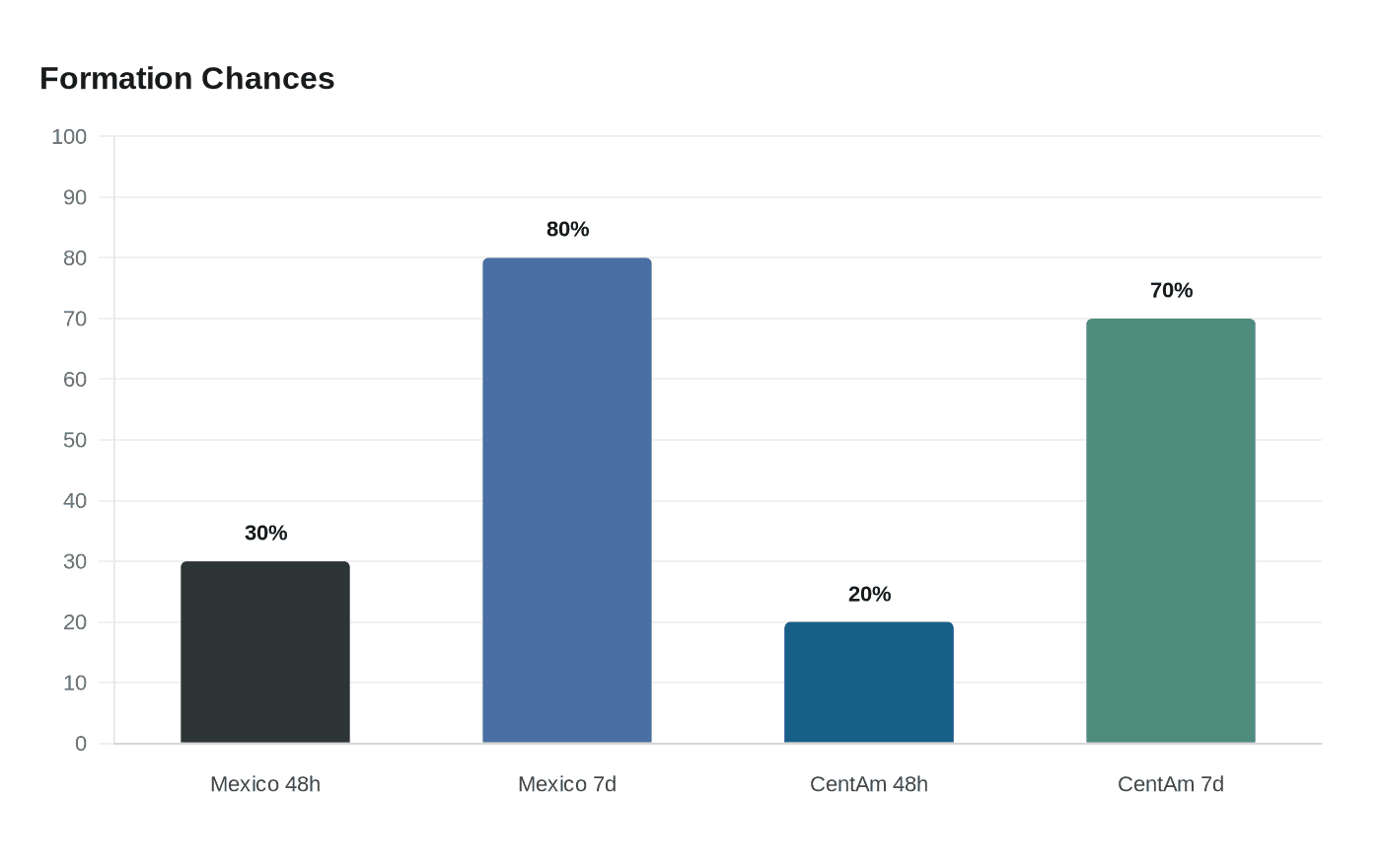
The National Hurricane Center’s outlook on Thursday reinforced that Amanda may not be alone for long. It showed a 30% chance that a disturbance off southern and southwestern Mexico could form within 48 hours and an 80% chance over seven days. A separate disturbance offshore of Central America carried a 20% chance of formation in 48 hours and a 70% chance over seven days. Those numbers matter because tropical systems in this basin can strengthen quickly when warm water and atmospheric conditions line up.
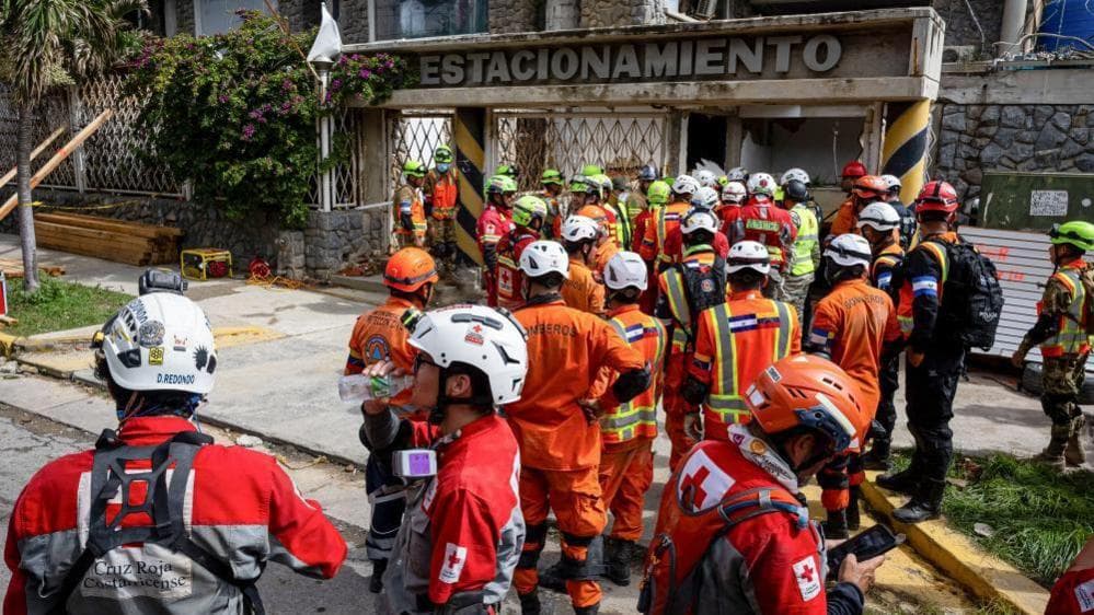
For coastal communities from Mexico to Central America, the immediate takeaway was not alarm but attention. Amanda posed no urgent land threat, yet its formation marked the season’s first clear warning that the ocean is already producing the ingredients forecasters will be watching for all summer: rainfall, surf, changing tracks and the possibility that a quiet start can turn active fast.
This article was produced by Prism’s automated news system from verified source data, official records, and press releases, then run through automated quality and moderation checks before publishing. The system is built and supervised by the people who set the standards it runs under. Read our full AI policy.
Did this article answer your question?