Tropical Storm Arthur forms off Texas coast, then weakens inland
Arthur’s inland fade still left Texas under flash-flood, surge and 50-mph wind warnings, a sharp early-season test for the Gulf Coast.

A fast-forming storm off the Texas coast quickly proved that a weak tropical system can still be a serious coastal threat. Arthur, the first named storm of the 2026 Atlantic hurricane season, formed near the middle Texas coast, less than 50 miles from Port O’Connor, then weakened to a post-tropical cyclone and a low-pressure area along the upper Texas coast.
The National Hurricane Center said Arthur was the season’s first advisories system, and by its last advisory late Wednesday, the storm had lost tropical characteristics. At that point, Arthur was centered near 29.7 degrees north and 94.5 degrees west, with minimum pressure of 1000 millibars and maximum sustained winds of 35 mph. The hurricane center also said tropical cyclone formation was not expected during the next seven days.
Even as the storm weakened inland, the National Weather Service office in Houston/Galveston warned that the rain threat remained live. Forecasters said another 1 to 2 inches of rain, with isolated higher amounts, could fall, and that flooding was possible where rain bands trained over the same area along the coast. A Tropical Storm Warning covered portions of the immediate coast, including the stretch between Sargent, Texas, and Morgan City, Louisiana, with winds gusting as high as 50 mph and coastal surge reaching up to 3 feet.
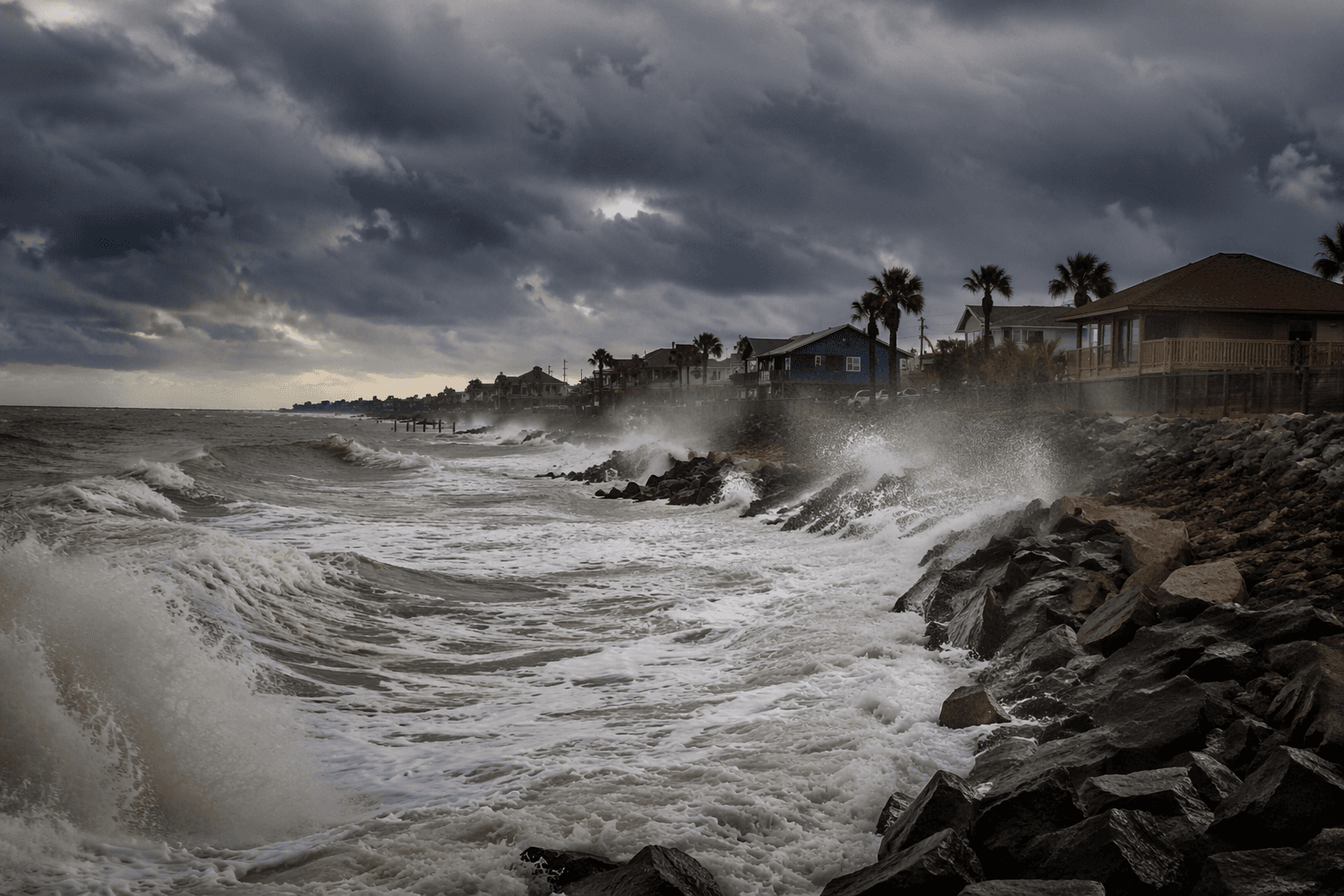
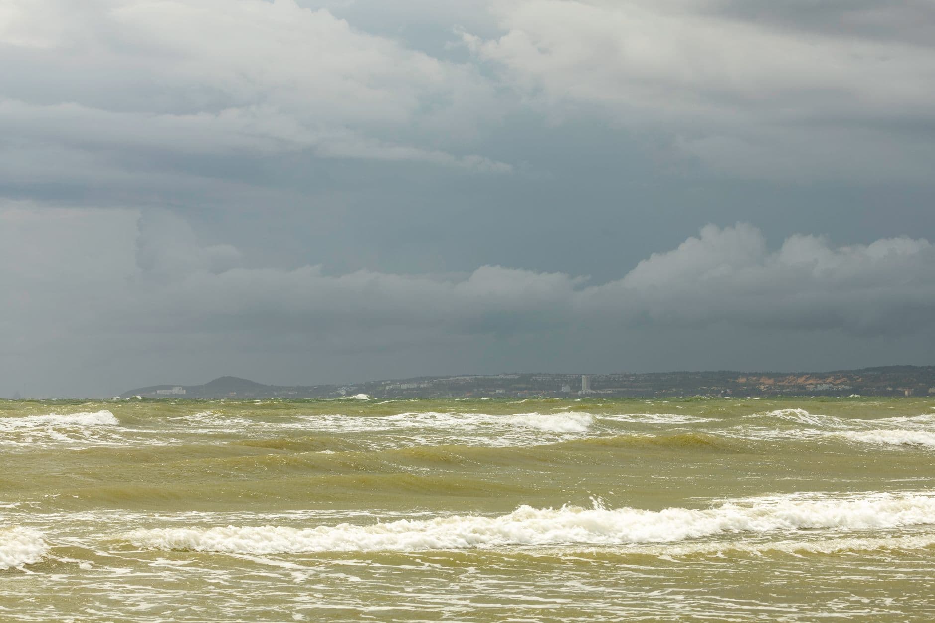
The storm also left behind rough water and transportation risks. The weather service said a Small Craft Advisory remained in effect, along with coastal flood advisories for Bolivar Peninsula, Galveston Island, Brazoria County beaches and the Matagorda Peninsula. Those warnings underscored how quickly a compact Gulf system can strain roads, bays and low-lying neighborhoods even after it starts to weaken.
Arthur arrived as Southeast Texas also braced for dangerous heat later in the week, with heat indices projected to reach 107 to 114 degrees. That overlap of heat, rain and coastal flooding pressure is part of the region’s broader vulnerability at the start of hurricane season, when a quiet forecast can make residents and local governments slow to react.
NOAA’s preseason outlook called for a 55% chance of a below-normal 2026 Atlantic season, which runs from June 1 through November 30, with 8 to 14 named storms, 3 to 6 hurricanes and 1 to 3 major hurricanes. Arthur’s brief life showed why those numbers can never be read as a shield: the first storm of the season was enough to bring flooding danger, surge, and a reminder that coastal preparedness cannot wait for a stronger one.
This article was produced by Prism’s automated news system from verified source data, official records, and press releases, then run through automated quality and moderation checks before publishing. The system is built and supervised by the people who set the standards it runs under. Read our full AI policy.
Know something we missed? Have a correction or additional information?
Submit a Tip