Tropical Storm Bertha brings heavy rain to Florida's west coast
Tropical Depression Two was expected to become Bertha off Florida, bringing 2 to 4 inches of rain to the west coast and Panhandle through Friday.
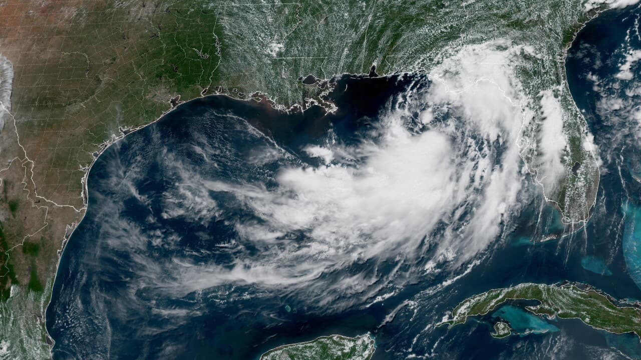
Tropical Depression Two was expected to strengthen into Tropical Storm Bertha later Monday off Florida’s coast, and forecasters warned that heavy rain and thunderstorms would spread across Florida’s west coast and the Panhandle before the system moved on. Rainfall totals of 2 to 4 inches were expected through Friday, a range that can quickly overwhelm drainage in low-lying neighborhoods and turn routine summer downpours into street flooding.
Local coverage described Bertha as a weak storm, but weak tropical systems still carry a hard-hitting rain threat, especially along the Gulf Coast where shallow flooding can disrupt traffic, delay commutes, and strain stormwater systems. The most immediate risk was not wind but water, with the heaviest impacts expected in the coastal and near-coastal communities directly in the path of the rain bands.
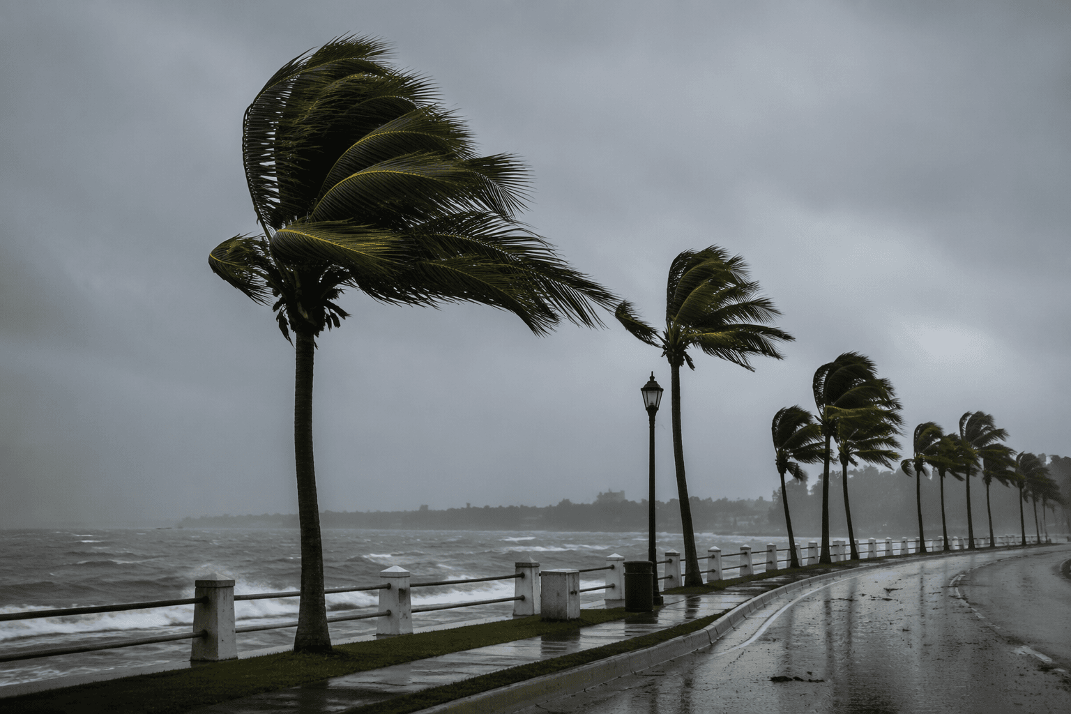
Bertha also arrived during an Atlantic hurricane season that was already far busier than usual. The National Hurricane Center’s 2020 verification report said the season produced an unprecedented 30 tropical storms and hurricanes, and the agency issued 597 official tropical cyclone forecasts that year, the second-most in the last 30 years. That volume of forecasting reflected how intensively the Atlantic basin was being watched as storms formed and shifted.
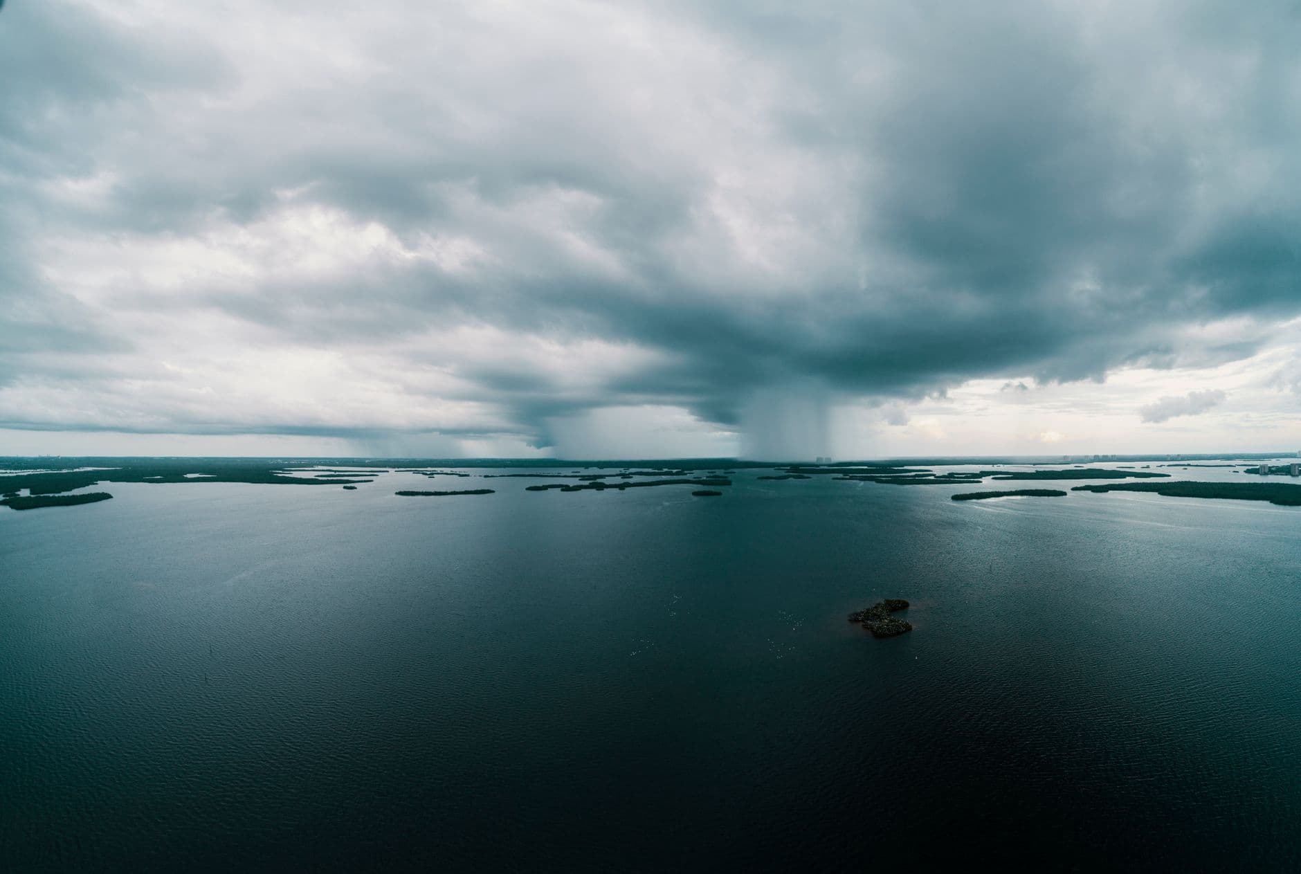
The National Hurricane Center’s 2020 Tropical Cyclone Advisory Archive and Graphical Tropical Weather Outlook Archive preserved the advisories and tracking products used to follow systems like Bertha, along with the broader pattern of monitoring across the season. Those records show how quickly a low-pressure area in the Gulf of Mexico can move from a tropical depression to a named storm, with little time for communities to wait on certainty before preparing for rain, runoff, and localized flooding.
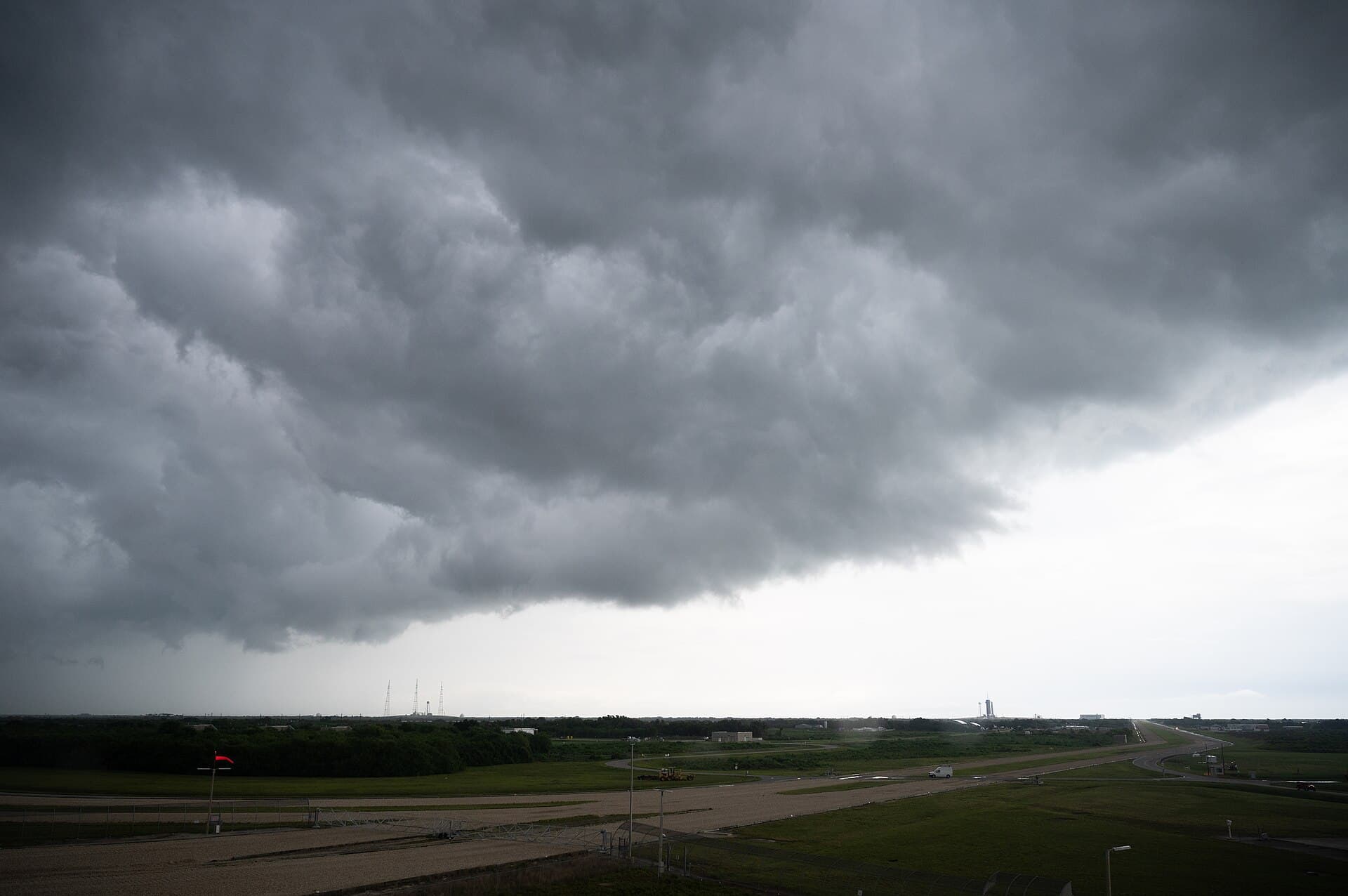
For Florida’s west coast and the Panhandle, the warning was straightforward: the danger was already building before any landfall headline, and the most damaging effects could come from several inches of rain rather than a direct strike. In a region shaped by repeated storm seasons, that kind of forecast can mean drainage pumps, roadside ditches, and vulnerable neighborhoods are tested first, long before the storm’s center ever reaches shore.
This article was produced by Prism’s automated news system from verified source data, official records, and press releases, then run through automated quality and moderation checks before publishing. The system is built and supervised by the people who set the standards it runs under. Read our full AI policy.
Did this article answer your question?