UK heat and dry spell to return before wetter mid-month shift
Hotter, drier weather is set to return first, then a wetter mid-month shift may cool the south while northern rain keeps pressure on farms and transport.
Friday 7 to Sunday 16 August is expected to bring a return of drier, hotter conditions across much of the UK, especially England and Wales, before wetter and less warm weather becomes more likely after mid-month. UK households, water managers, farmers and transport operators are facing another stretch of summer weather that tilts back toward heat and dryness before the pattern turns less settled.
What the next week is likely to bring
The clearest signal in the near term is for warmth to rebuild across much of the UK, with the strongest emphasis on England and Wales. Places already feeling pressure from summer heat will feel it most, because higher temperatures can push up household demand, strain local water supplies and make travel and outdoor work more difficult in peak hours.
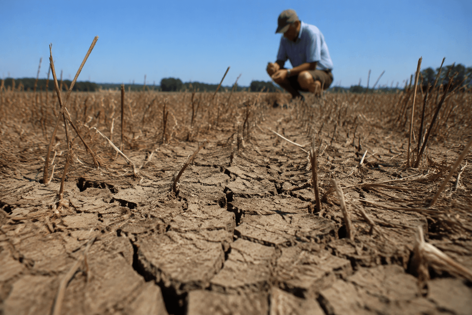
For farmers, that can sharpen moisture stress in fields that have already dried out, while for transport operators it raises the chance of hot carriageways, hotter rail infrastructure and slower working conditions for crews. The same dry, sunny pattern also tends to concentrate demand for cooling and water use into the busiest parts of the day.
The outlook covers broad trends, not a day-by-day script. That means the message for the next week is about the broad direction of travel, not a fixed promise that every day will be hot or every region will stay dry.
The mid-month turn to a more changeable pattern
After mid-month, the balance shifts. A wetter and less warm period is possible, which is the first sign that the more settled summer pattern may begin to break down. That does not mean a full washout, but it does point to a higher chance of rain interrupting the warmer spell, with less intense heat than the early part of the outlook.
The Met Office’s long-range forecast for Friday 14 August to Sunday 23 August has a north-to-south split at the start of the period, with rain or showers likely in the north while the south stays predominantly dry, sunny and hot. Wetter northern conditions can complicate farming operations and travel, while the hotter south continues to face heat-related strain.
The same forecast has the heat in the south easing into the next weekend, but still a little above average. The south is not expected to flip abruptly from hot to cool.
Who gains from the dry spell, and who carries the risk
A hotter, drier return tends to benefit people who want stable summer weather for travel and outdoor plans, especially across the south of England and Wales. It can create a cleaner run of days for tourism, events and holiday travel, and BBC Weather presenter Simon King links the monthly outlook to the growing number of people planning UK breaks in the coming weeks.
The risks are more uneven. In dry weather, water managers have to watch for rising demand and falling reserves, particularly if rain remains patchy. Farmers face the most immediate exposure where soils dry quickly and irrigation needs climb, while transport operators have to plan around heat effects on roads, rails and timetables. When the forecast turns wetter later, those same sectors have to pivot quickly toward drainage, standing water and delay management.
By sector:
- Households may see the most immediate impact from hotter days in England and Wales, with greater demand for cooling and water.
- Farmers face the biggest downside if dryness persists into mid-month, then a second challenge if rainfall becomes more variable.
- Transport operators have to manage heat-related disruption first, then the risk of showers, rain bands and possible thundery interruptions later.
- Water managers are likely to see the forecast as a warning to stay alert for another period of uneven rainfall.
Why the longer outlook is less certain
The second half of summer may become more changeable, with spells of rain appearing in some long-range forecasts. At the same time, temperatures are expected to stay largely above average during late July and August, and further heatwaves cannot be ruled out. The broader trend still favors warmth, but the path between hot spells is increasingly interrupted.
By late August, high pressure may dominate again before chances of some thundery outbreaks appear in early September. High pressure usually brings more settled, drier conditions, while thundery outbreaks can break that calm quickly and unevenly. For the UK, that means the late-summer picture may swing from dry heat to localized storms without much warning.
The Met Office expects rainfall amounts to be variable further into August, with some areas continuing to see relatively little rain even as low pressure systems bring spells of rain or thundery interludes elsewhere.
How to use the outlook
The outlook is designed to capture broader trends rather than precise daily detail, and that is how this forecast should be read. The near-term signal is the strongest: a drier, hotter spell returns first, especially in England and Wales. The wider picture is more fluid: a cooler, wetter interruption is possible after mid-month, then a return to more settled high-pressure conditions may build again by late August.
This article was produced by Prism’s automated news system from verified source data, official records, and press releases, then run through automated quality and moderation checks before publishing. The system is built and supervised by the people who set the standards it runs under. Read our full AI policy.
Did this article answer your question?