ZenaTech Acquires Oregon Surveying Firm, Expanding Pacific Northwest Drone Services Network
Vancouver drone firm ZenaTech completed its 21st acquisition, buying Oregon's Andy Paris & Associates to expand Pacific Northwest aerial services.

ZenaTech's 21st acquisition landed the Vancouver-based drone technology firm in Lake Oswego, Oregon, where it purchased Andy Paris & Associates, a long-standing land surveying company that gives ZenaTech new field capacity across one of the West Coast's most active energy and logistics corridors.
The deal, announced April 9, extends ZenaTech's footprint beyond its existing Portland operations hub and advances what the company describes as a scalable Drone as a Service platform combining its ZenaDrone UAVs, local operations centers, AI autonomy software and centralized analytics.
CEO Shaun Passley, Ph.D., described the acquisition as strengthening the company's position "at the intersection of forestry and environmental monitoring, critical energy infrastructure, and ports and logistics surveillance," areas where ZenaTech contends drone automation delivers measurable operational value.
The integration of Andy Paris & Associates' surveying expertise is intended to support subscription and usage-based aerial services covering boundary and topographic surveys, construction staking, infrastructure inspections and precision agriculture. Rather than maintaining their own drone fleets and specialized staff, clients can access these capabilities on demand through ZenaTech's regional network.
ZenaTech pointed to the acquired firm's long-standing client relationships and local knowledge in Oregon as strategic assets that will help scale operations while delivering higher-value data products. The Pacific Northwest holds particular significance for the company given its density of forestry operations, active port infrastructure and energy corridors.
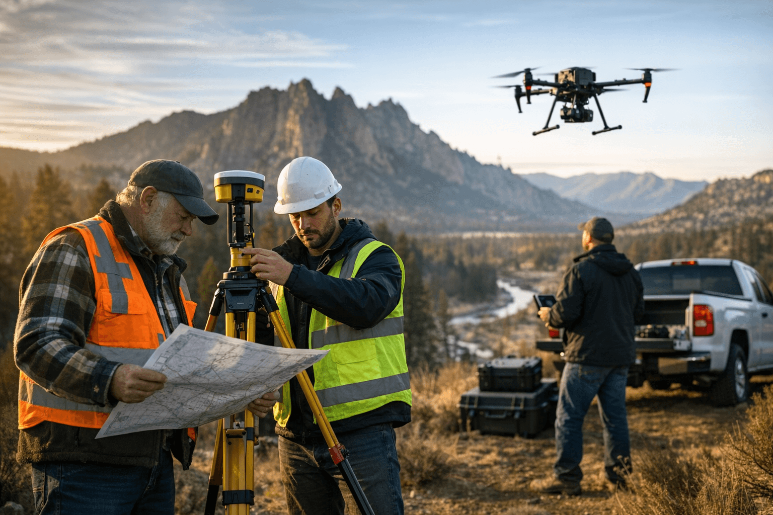
The deal reflects a consolidation trend in commercial drone markets, where specialized surveying and mapping firms are being absorbed into larger service networks that offer AI-driven post-flight analytics. Converting raw aerial imagery into actionable insights for asset owners has become a key competitive differentiator in the sector.
ZenaTech framed the acquisition along two dimensions: operational, in that it expands field capacity in a critical region, and strategic, in that it deepens ties to municipal and commercial customers requiring repeatable, verifiable aerial data. The company cited the potential to automate labor-intensive workflows and deliver continuous intelligence for maintenance and environmental monitoring.
With 21 acquisitions completed, ZenaTech's central challenge now is converting local surveying relationships into scalable recurring revenue while aligning legacy field workflows with modern drone data standards across a growing national network.
This article was produced by Prism’s automated news system from verified source data, official records, and press releases, then run through automated quality and moderation checks before publishing. The system is built and supervised by the people who set the standards it runs under. Read our full AI policy.
Did this article answer your question?