Bears Ears map guides visitors through remote trails and cultural sites
Bears Ears is too big to wing it. The BLM recreation map shows where roads, trailheads, launches, and backcountry routes actually are, so you do not burn a day on the wrong access.
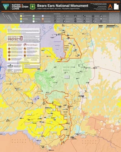
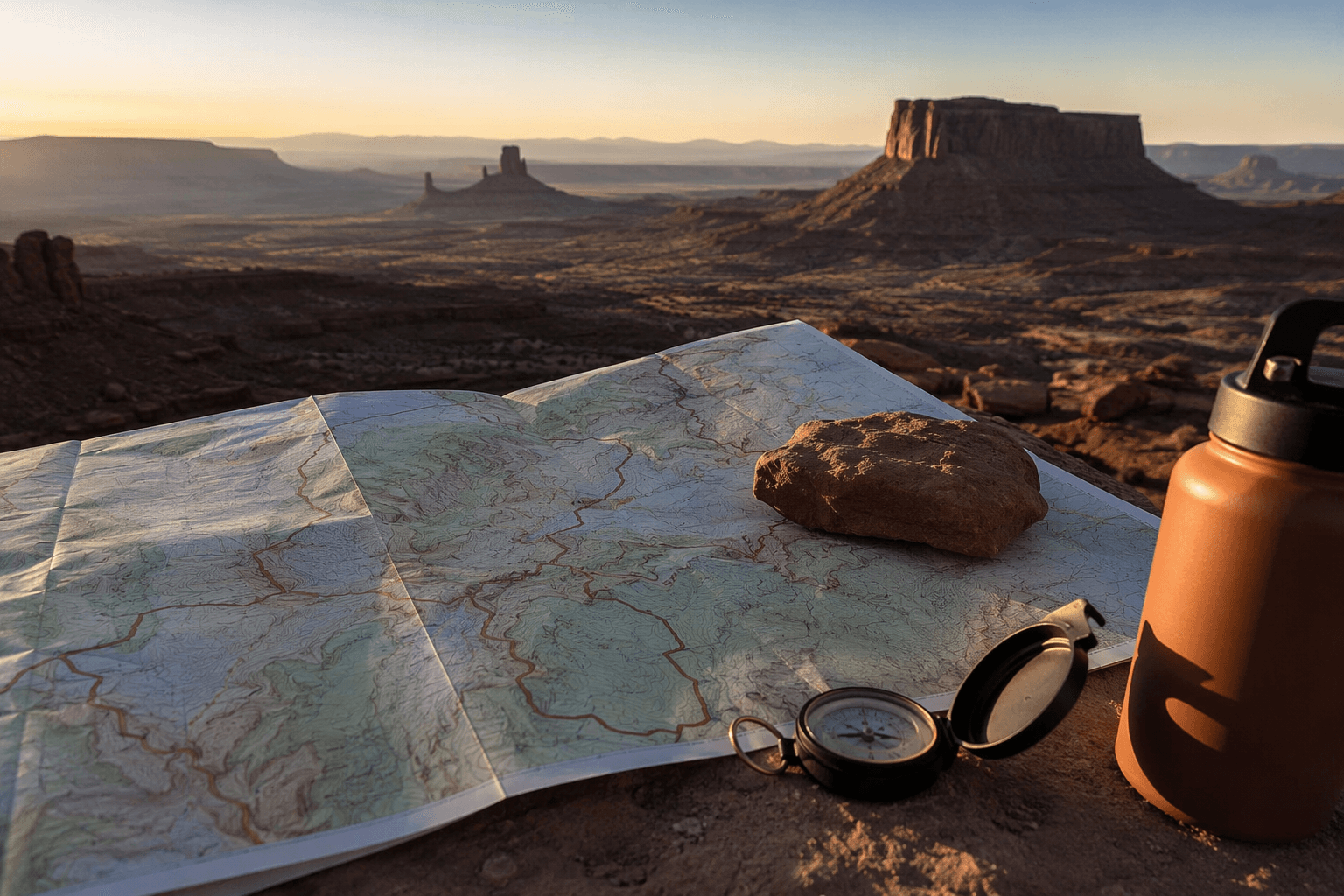
If you are trying to do Bears Ears without wasting half the day on the wrong dirt road, start with the Bureau of Land Management recreation map. The monument covers about 1.36 million acres in San Juan County, and the same sheet that points you to Muley Point or Goosenecks State Park also shows where the trailheads, boat launches, canyon routes, and cultural sites sit in relation to one another. In this country, the map is not a brochure. It is the tool that keeps a remote trip from turning into a guessing game.
Start with the map, not the landmark
Bears Ears works best when you think of it as a network, not a single destination. The BLM map is built that way, with access points, recreation areas, cultural landmarks, boat launches, and backcountry routes spread across mesa tops, canyons, and desert basins. That matters because cell coverage is unreliable, navigation can get confusing fast, and many of the most famous views are reached by long roads that are part of the trip, not just the approach.
The practical advantage is simple: you can sort out whether you are planning a quick scenic stop, a full-day backcountry outing, or a multi-day push before you ever leave pavement. The map helps keep you from assuming every place is as easy to reach as a roadside overlook. In Bears Ears, that assumption is what burns daylight.
Match your plan to the kind of access you actually want
For a short drive with big views, the map pulls in the names most Four Corners travelers already know. Muley Point, Goosenecks State Park, Four Corners Monument, Newspaper Rock, Moki Dugway, Mexican Hat Sand Island Recreation Site and Boat Launch, Bluff Fort River House, and Kane Gulch Ranger Station all show up as practical anchors for a day trip or a launch point. Those are the places that help you get your bearings, fill in the gaps, and decide whether to keep moving or stay close to the road.
If you are headed farther in, the map gets more useful. House on Fire Arch Canyon, Comb Wash, Cedar Mesa, Lower Fish Creek, McLoyd Canyon, Bullet Canyon, Todie Flat, Government/Slickhorn Complex, Salvation Knoll, Collins, Clay Hills, Soldiers Crossing, Jacobs Chair and Piute Pass, Tables of the Sun, The Cedars, Bridger Jack Mesa, Cat Wall, Superbowl Creek Pasture, Hamburger Rock, Indian Creek Falls, Fish and Owl, and the Hole-in-the-Rock Historic Trail all point to a different level of commitment. These are not casual pullouts. They are the kinds of destinations that reward hikers, campers, climbers, canyoneers, and off-road travelers who have already checked the road and know how much time the approach will take.
Know what needs a permit before you commit
Some access in Bears Ears is regulated, not open-ended. Recreation.gov says backpacking permits are required year-round for exploring the canyons of Cedar Mesa, which is exactly the kind of rule that can derail a trip if you show up expecting to roam. That makes the map and the permit system work together: one tells you where the route is, the other tells you whether you are actually allowed to use it in the way you planned.
The BLM also notes that travel services are very limited in the area. That is worth taking literally. Do not count on nearby fuel, rescue, or last-minute route fixes once you leave the main road network. If your plan involves Cedar Mesa or one of the deeper canyon systems, get the permit side squared away first and treat the map as your route book, not decoration.
Build the weather into the route, not the other way around
Bears Ears is one of those places where the forecast can change the whole day. The Bears Ears Partnership says parts of the monument can run from 100 degrees in summer to well below zero in winter, with significant snowpack. It also warns that late-summer monsoons can flood canyons quickly and make travel dangerous. That is not abstract desert advice. It is the reason a route that looked fine at breakfast can become a bad bet by afternoon.
Spring and fall are the most forgiving seasons, but even then the landscape does not hand out easy wins. Dirt roads can be rough, seasonal weather can make routes impassable, and a canyon that looks dry at the mouth can turn risky farther in. If you are choosing between a backcountry drive and a safer scenic loop, the map gives you the information you need to make that call before you are already committed.
Treat the monument like cultural country, not just open land
Bears Ears is tied to the Hopi Tribe, Navajo Nation, Ute Mountain Ute Tribe, Ute Indian Tribe, and Pueblo of Zuni through the Bears Ears Inter-Tribal Coalition. That coalition submitted its proposal to President Barack Obama on October 15, 2015, after what Native American Rights Fund materials describe as decades of work by native nations to protect the twin buttes. The result is a landscape that local tribes continue to frame as a sacred ancestral homeland, not simply a recreation zone.
That context changes how you use the map. The sites it marks are not just stops between trailheads. They sit in a place known for ancestral Puebloan sites, and low-impact travel is part of staying welcome in the landscape. The right way to move here is with attention, not assumptions: stay on the intended route, do not improvise access, and remember that the map is steering you through a place where cultural stewardship and recreation overlap.
Why the current monument layout matters for planning
The modern monument reflects a layered history. It was established by presidential proclamation on December 28, 2016, and President Joseph R. Biden Jr. restored the full area on October 8, 2021 after earlier reductions under the Trump administration. Bears Ears is jointly managed by the Bureau of Land Management and the U.S. Forest Service, which helps explain why the visitor information is so detailed and why the map has to do so much work.
That management footprint matters on the ground. A monument this large, this remote, and this mixed in terrain needs a planning tool that shows more than scenery. The map is doing exactly that, which is why it is the first thing to check before you decide whether your day belongs on Moki Dugway, at House on Fire Arch Canyon, or back on the highway because the route you wanted was never the easy one in the first place.
This article was produced by Prism’s automated news system from verified source data, official records, and press releases, then run through automated quality and moderation checks before publishing. The system is built and supervised by the people who set the standards it runs under. Read our full AI policy.
Did this article answer your question?