BLM seeks comment on 800-mile High Desert Trail proposal
BLM wants comments on a draft plan that would turn about 800 miles of existing routes into the High Desert Trail, with new staging, signs and guided-use management.

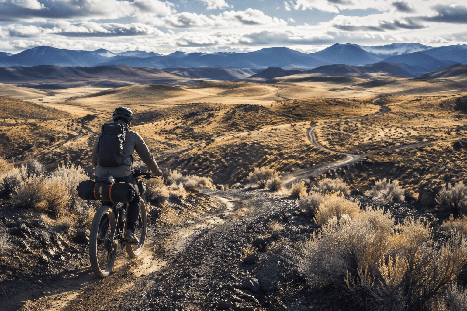
A proposed 800-mile High Desert Trail would not carve a brand-new line across the desert so much as stitch together existing routes into a designated corridor, and that is what makes this one worth watching for anyone who rides, runs, hikes or hauls gear near Moab.
The Bureau of Land Management has prepared a draft environmental assessment for the project and is taking public comment on a plan that would designate roughly 800 miles of existing routes, primarily on BLM-managed lands. The proposal also calls for staging areas, signage, wayfinding and administration of special recreation permits for events and guided use. In practice, that means the trail is about more than map ink. It could change where people park, how they find the route, and how organized rides and commercial trips are managed across the corridor.
The timing gives the public a real window to shape the details. Comments will be accepted from June 2 through June 16, 2026. Two virtual public meetings are set for June 8 from 2:00 to 3:00 p.m. Mountain Time and June 9 from 6:00 to 7:00 p.m. Mountain Time. The BLM says comments can be submitted online or by mail to the Utah BLM State Office in Salt Lake City.
Utah’s Outdoor Recreation office has described the High Desert Trail as a collaborative effort involving state agencies, local governments, federal land managers and trail user groups. State planning materials say the concept traces back to the Omnibus Public Lands Management Act of 2009, which directed designation of a High Desert off-highway vehicle trail on routes already open to OHV use in Washington County. Utah materials also say the broader trail network spans more than 700 miles across western Utah and crosses Box Elder, Tooele, Juab, Millard, Beaver, Iron and Washington counties.
For Moab, the operational stakes are obvious. The BLM’s Moab Field Office manages about 1.8 million acres of public land and administers nearly 500 special recreation permits each year. That matters because the proposed trail includes special recreation permit administration for events and guided use, the same sort of machinery that keeps organized recreation from colliding with everything else happening on the ground.
The project also lands in a region already used to hard arguments over route management. The Moab Field Office has spent years dealing with travel-planning tensions in places such as the Labyrinth Rims/Gemini Bridges area, where every line on the map can mean a different experience for motorized users, quieter trail users and the people trying to protect habitat and cultural sites.
Washington County has already approved a memorandum of understanding making it a cooperating agency on the environmental assessment. That is the clearest sign yet that the High Desert Trail is being treated as a long-game access and tourism project, not a one-off trail fix.
For anyone who uses these landscapes, the comment period is the decision point before the route becomes a defined corridor with staging, signs and permit rules built around it. Once that happens, the everyday experience of moving through the desert changes with it.
This article was produced by Prism’s automated news system from verified source data, official records, and press releases, then run through automated quality and moderation checks before publishing. The system is built and supervised by the people who set the standards it runs under. Read our full AI policy.
Did this article answer your question?

