Canyonlands safety guide warns visitors about heat, floods and isolation
Canyonlands looks like a day trip from Moab, but 337,598 acres of remote desert can turn heat, floods and breakdowns into hours-long trouble fast.
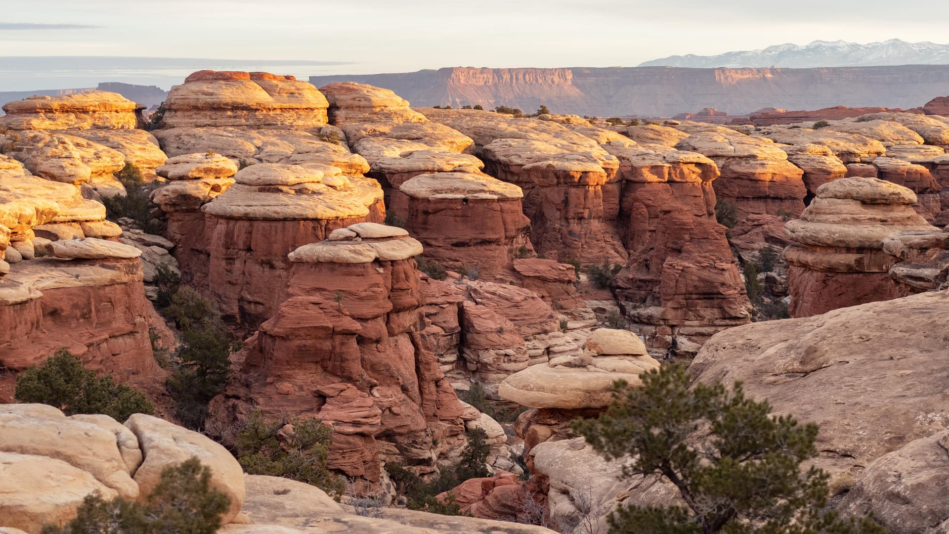
Canyonlands covers 337,598 acres of southeast Utah’s high desert across four separate districts. That means a pullout, trailhead, or river access point can be much farther from help than it looks on the map. The park issues separate safety guidance for hikers, drivers, campers, river travelers, and backcountry users because in this landscape, the gap between a pleasant outing and a real problem can be very short.
Read the park as a remote place, not a roadside attraction
The first mistake visitors make is assuming the scenery equals convenience. Canyonlands divides risk into hiking, river travel, backcountry camping, White Rim Road travel, and high water because one generic plan does not fit the whole park. The districts are spread far enough apart that you can be in very different terrain, weather, and road conditions without ever leaving park boundaries.
That distance matters when something goes wrong. The National Park Service said in a 2021 video that rangers respond to hundreds of search-and-rescue incidents each year in Arches and Canyonlands, and those rescues can take hours to locate and extract injured people.
Build the day around water, shade, and daylight
Heat exposure and dehydration are among the most basic desert risks here, and they become dangerous quickly because shade is scarce and temperatures can climb fast. The practical response is simple but non-negotiable: carry enough water for the entire outing, not just the distance you expect to cover, and start early in hot weather so the hardest part of your hike or drive happens before the day peaks.
The safety message also asks you to think ahead about storms. Canyon country can turn from calm to dangerous when weather changes overhead or far away, so watching the sky is part of route management, not just a hiker’s habit. Leave a trip plan with someone else before you go, and do not count on being able to improvise once you are committed to a canyon, wash, or backcountry route.
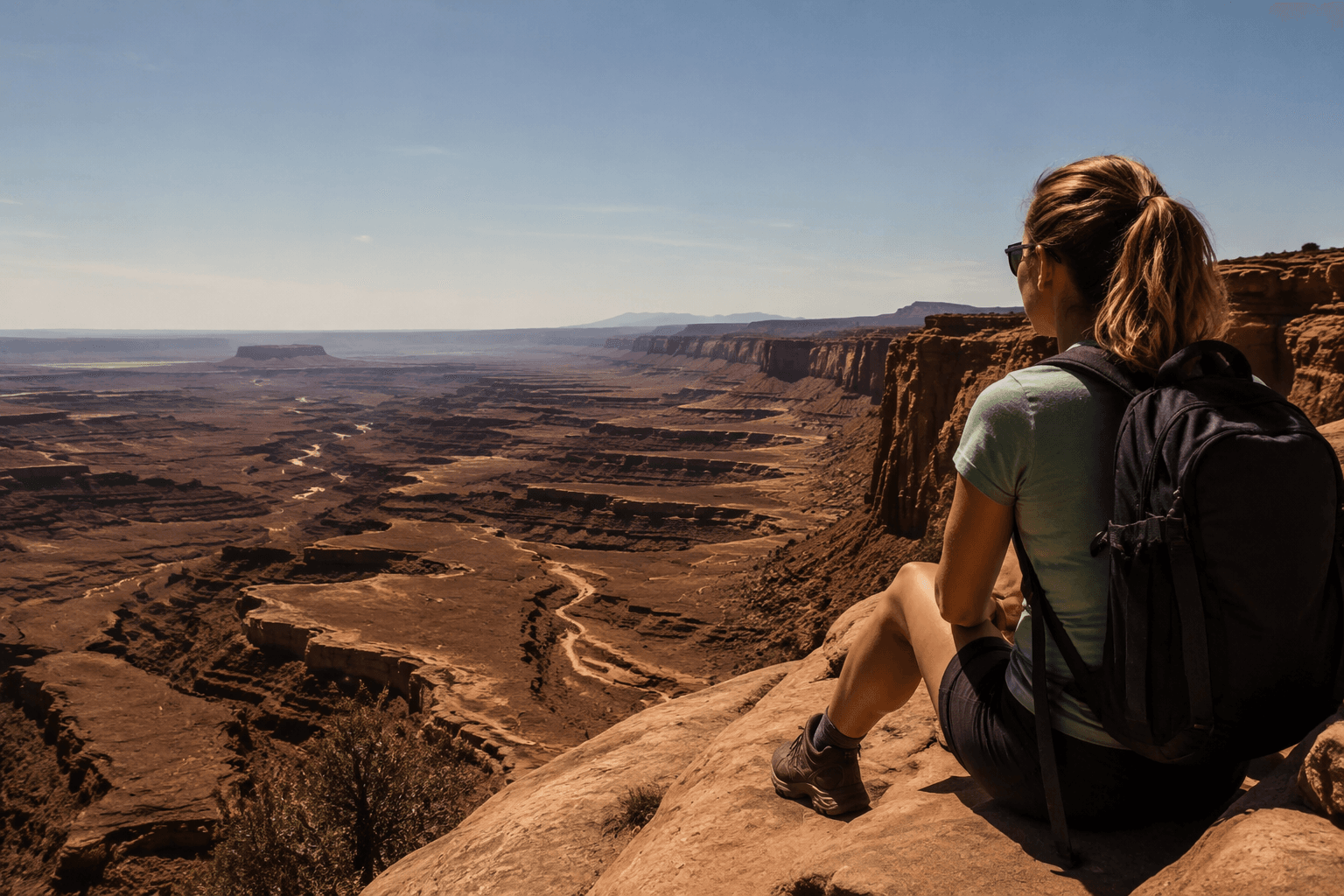
The National Park Service includes the 10 essentials in its safety advice because search-and-rescue can take hours.
Treat the road as part of the risk
Canyonlands safety guidance is just as important for drivers as it is for hikers. Loose surfaces, rough roads, distance from services, and the chance of a vehicle problem in a remote area all change what a breakdown means. In town, a flat tire is an inconvenience. In Canyonlands, it can become a long wait for assistance, especially if you are on a road where traffic is light or cell service is poor.
That is why vehicle readiness belongs in the same conversation as water and weather. If you are heading onto White Rim Road, or any route that takes you away from pavement, make sure the vehicle is ready for self-sufficient travel and that your plan matches the road you actually intend to use. White Rim Road has separate park guidance because this is not normal highway driving, and the same logic applies anywhere the surface is rough, remote, or changing quickly.
Fatigue and fuel matter too, especially for Four Corners itineraries that string Canyonlands together with Moab-area trailheads, dispersed camping, or longer overland drives. The farther you are from a service station or a tow truck, the more a small mistake compounds.
Choose routes with the weather in mind
Flash flooding is one of Canyonlands’ defining hazards because storm runoff can hit slots, drainages, and low crossings even when the sky above you looks clear. Canyonlands has separate high-water FAQs and river safety guidance, and the National Weather Service has flash-flood guidance for the region, because runoff in canyon country can become dangerous quickly.
The timing of this danger is not theoretical. In August 2022, hikers were stranded in a cave for hours during flash flooding at Canyonlands. The Aug. 20, 2022 flood was a “100-year flood.”
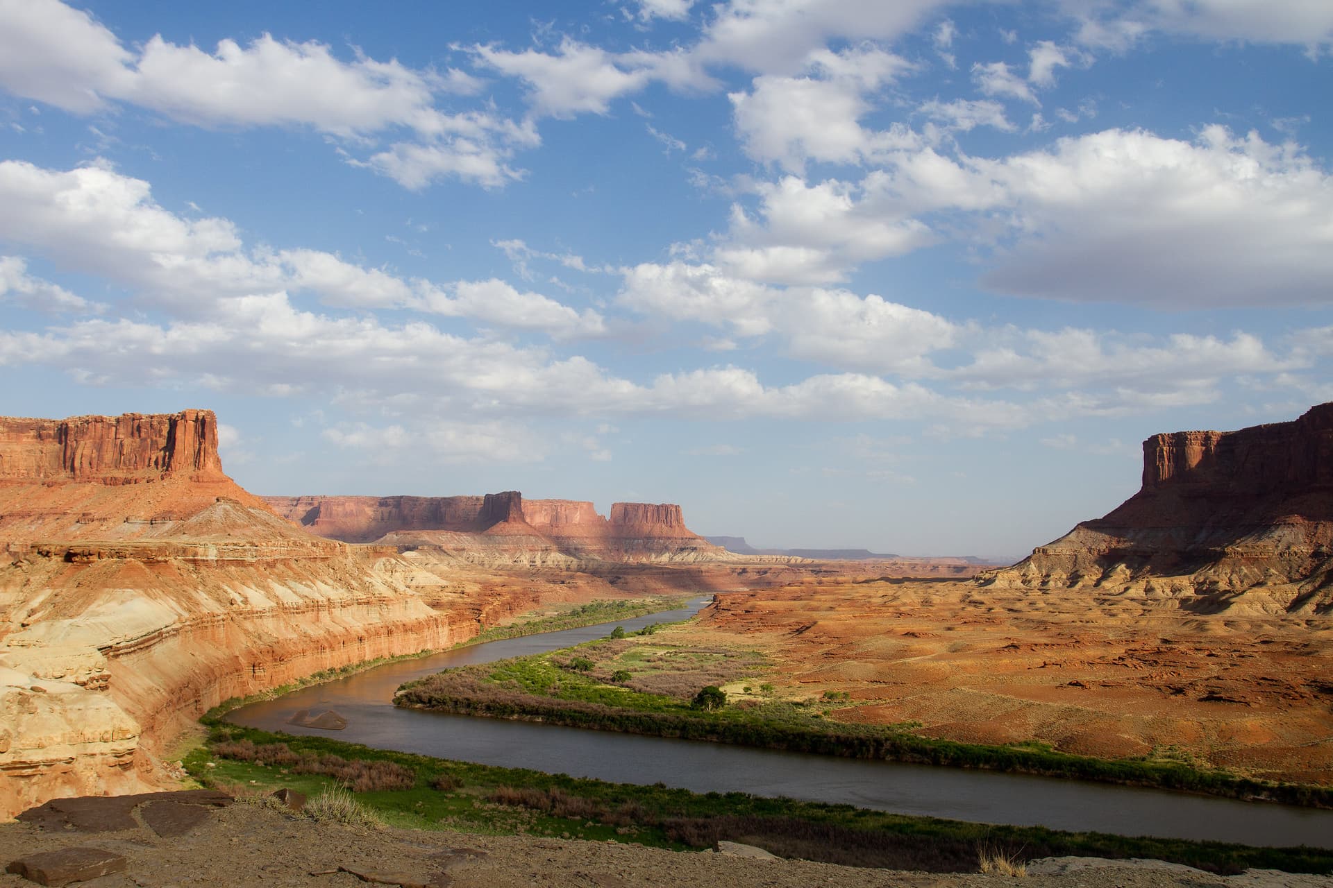
For river travelers, the Colorado River and Green River shape more than scenery. They shape access, crossings, and trip timing, which is why river safety and high-water planning are part of the park’s official guidance. If your route depends on any canyon bottom, wash, or river corridor, weather needs to be part of the go-or-no-go decision before you leave pavement.
Remember that exposure can be deadly even without floodwater
Canyonlands does not only punish mistakes with heat or water. An archived incident report records a double fatality from lightning on Island in the Sky on April 27, 1987, a stark example of how fast conditions can turn lethal in exposed terrain. High ground, open overlooks, and wide country can leave little margin when storms build.
This article was produced by Prism’s automated news system from verified source data, official records, and press releases, then run through automated quality and moderation checks before publishing. The system is built and supervised by the people who set the standards it runs under. Read our full AI policy.
Did this article answer your question?