How to navigate the Four Corners with maps, not just apps
The Four Corners rewards people who carry a paper map, official park maps, and offline downloads, because weak service and mixed land rules can break a phone-only plan.
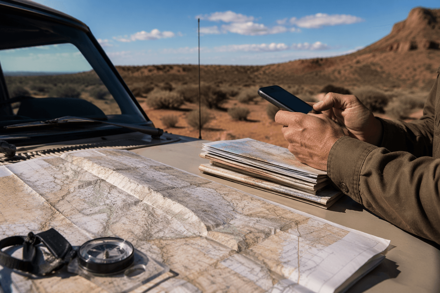
The National Geographic United States Southwest Adventure Travel Map covers Arizona and New Mexico plus the southern halves of Utah and Colorado. A single phone app is a fragile way to cross the Four Corners. Out here, wide public lands, dead zones, and shifting land status can turn one missed turn into a long backtrack, so the smart move is to build a map stack before you leave home. Start with a regional paper map, verify the exact area with official park and BLM maps, and keep offline downloads ready for the moment service disappears.
Start with a regional overview you can trust
The strongest first layer is a broad Southwest map that shows how the region fits together before you ever touch a trailhead. Sold through REI, the map is printed on waterproof, tear-resistant synthetic paper, and it highlights travel routes, topography, points of interest, and reservations including Navajo, Apache, and Hopi lands.
In the Four Corners, the problem is not just distance but context. A highway may look simple on a phone screen, but the map gives you the bigger shape of the country around it: where the paved roads thin out, where the topography starts to control the route, and where tribal lands change the rules of access and movement. If you are planning a loop through Arizona, New Mexico, Utah, and Colorado, that overview map keeps the rest of the trip from becoming guesswork.
Use official park maps for the exact destination
Once you narrow your target, the National Park Service gives you the next layer of precision. Park websites provide brochure maps, trail maps, campground maps, and backcountry maps, which is exactly the kind of detail a regional travel map cannot replace. The NPS App is the agency’s official app, and it offers interactive maps and downloadable content for more than 400 national parks.
The key habit is simple: download park content before you leave home, and do it on a strong Wi-Fi connection. In the Four Corners, cell service can be unreliable even near popular routes. A phone map that needs a signal is not much help when you are trying to confirm a trail junction, a campground spur, or a backcountry turnoff after the bars vanish.
Add BLM tools for the land between the landmarks
A lot of Four Corners travel happens on Bureau of Land Management ground, so your map stack needs a BLM layer too. The agency offers a National Data map viewer, a Recreation Opportunities Interactive Map, georeferenced PDF maps, and a Web App Gallery. That spread of tools gives you options whether you are trip planning at a desk, checking access on a laptop, or loading files onto a phone before a remote drive.
The georeferenced PDF maps are the real workhorse for weak-signal country. BLM designed them for GPS-enabled mobile devices and PDF readers, including use where there is no cell coverage, which makes them a strong backup when you are deep into dirt-road country or moving through a canyon system with spotty reception. In practice, that means you can keep a paper map for orientation, then open a georeferenced PDF when you need to confirm your current position against a road or trail line.
Build the stack in the right order
A dependable Four Corners plan works best in layers, not in a single app.
1. Use the regional paper map first to choose the broad route and understand the terrain.
2. Check the official park or BLM map for the exact trail, campground, or access road.
3. Download the relevant park content and PDFs before you leave home.
4. Keep the app as a backup, not the only source of truth.
That sequence fits the way the region behaves. The paper map helps you think in miles and jurisdictions. The agency maps help you think in specific roads, trailheads, and boundaries. The offline downloads help when the signal drops, which is common enough in remote public lands.
Respect the land-status puzzle
The Four Corners is not a single, simple block of public land. Navajo Nation boundary research identifies the reservation as a complex mix of multi-jurisdictional administrative areas established at different times and with different federal purposes and restrictions. The U.S. Department of the Interior treats tribal co-management of federal lands as an active policy issue, another reminder that rules can change with the land under your tires.
For travelers, that means road names and access assumptions can be misleading. A track that looks open on one map may cross into an area governed by different permissions, different management, or different cultural responsibilities. The safer habit is to verify each leg of the route against the right authority instead of assuming one map layer covers everything.
Read the region as history, not empty space
The Four Corners sits inside the Colorado Plateau, which the National Park Service describes as 130,000 square miles of some of the world’s premier natural showcases for Earth history. Human history is just as dense. Hovenweep National Monument places Ancestral Puebloan occupation in the Four Corners area from about A.D. 500 to A.D. 1300, while Canyons of the Ancients National Monument in southwestern Colorado protects 176,000 acres and holds more than 8,300 documented archaeological sites, with estimates of more than 30,000 more still unrecorded.
Plan for remoteness as part of the route
Navigation and safety are tied together in the Four Corners. BLM warns that help on remote public lands may be hours away in emergencies. The National Park Service warns that hantavirus occurs predominantly in the western United States, including the Four Corners region.
This article was produced by Prism’s automated news system from verified source data, official records, and press releases, then run through automated quality and moderation checks before publishing. The system is built and supervised by the people who set the standards it runs under. Read our full AI policy.
Did this article answer your question?