Late-season storm blankets Durango high country in spring snow
Several inches of April snow dusted Purgatory while rain fell in Durango, briefly splitting the high country back into winter above and spring below.
A late-season cold snap pushed the Durango high country back into winter in a single afternoon, dropping several inches of snow at Purgatory Resort while rain fell in Durango and across much of La Plata County. The sharp elevation divide on April 14 was the kind of shoulder-season turn that changes everything fast for drivers, hikers and anyone trying to read mountain weather by looking only at the valley floor.
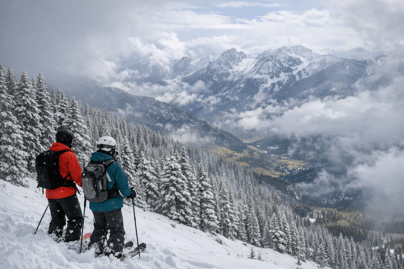
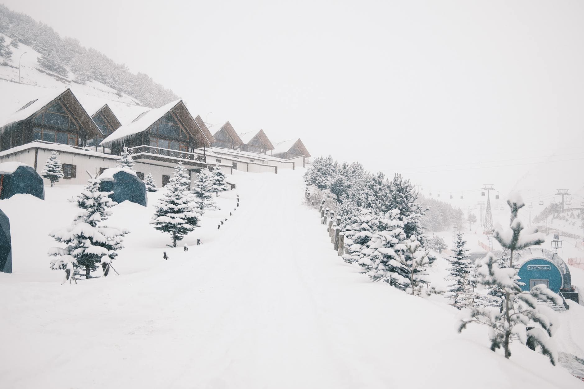
The scene above town looked more like midwinter than mid-April. Purgatory Resort, whose base sits at 8,793 feet, picked up fresh snow. Hermosa Cliffs wore a white coat. South of Durango, graupel fell, while north of town steam rose off U.S. Highway 550, a sure sign that wet pavement and cold air were colliding. At Bears Ranch, horses moved through the snow as if the season had simply looped backward for a while.
One of the most striking images showed a red-winged blackbird perched in a snow-covered aspen at Purgatory, a small but vivid reminder of how quickly the Four Corners can flip from spring to winter. That kind of split is common in late-season systems here: valley floors can be slushy and wet while the higher terrain stays locked in snow. For travelers headed into the mountains, that means trailheads, passes and resort access can change within hours, not days.
The National Weather Service office in Grand Junction has said spring frost and freeze dates in western Colorado and eastern Utah can differ by as much as six weeks. It puts the average last freezing temperature in Grand Junction at April 22, while Aspen’s average last freeze does not arrive until June 16. Around the same period, weather-story products for western Colorado were still flagging an anomalously cold air mass and freeze watches, underscoring how unsettled the transition can be even as the calendar moves deeper into spring.
The broader snowpack picture was still lean. The Natural Resources Conservation Service reported statewide snowpack at 20 percent of median on April 20, even with this burst of mountain snow. That makes the April 14 storm more useful as a conditions snapshot than as proof of a full winter comeback. It briefly refreshed the scenery, but it did not change the larger pattern: spring in southwest Colorado remains unstable, elevation-driven and capable of surprising anyone who assumes Durango weather tells the whole story.
Late-April snow is unusual enough to catch the eye, but it is not without precedent. The National Weather Service has documented 5 inches at Durango’s College Mesa station on April 19, 1933, and 4.5 inches on April 20, 1995. This week’s storm fit that same narrow window of springtime surprises, where one storm can turn the high country white and make the next road trip feel like a winter run.
This article was produced by Prism’s automated news system from verified source data, official records, and press releases, then run through automated quality and moderation checks before publishing. The system is built and supervised by the people who set the standards it runs under. Read our full AI policy.
Did this article answer your question?

