Moab Faces Big Decision For Former Atlas Mill Land Use
The tailings are gone, but Moab now faces a harder question: what should happen to 480 acres of riverfront land beside Arches and the Colorado River?
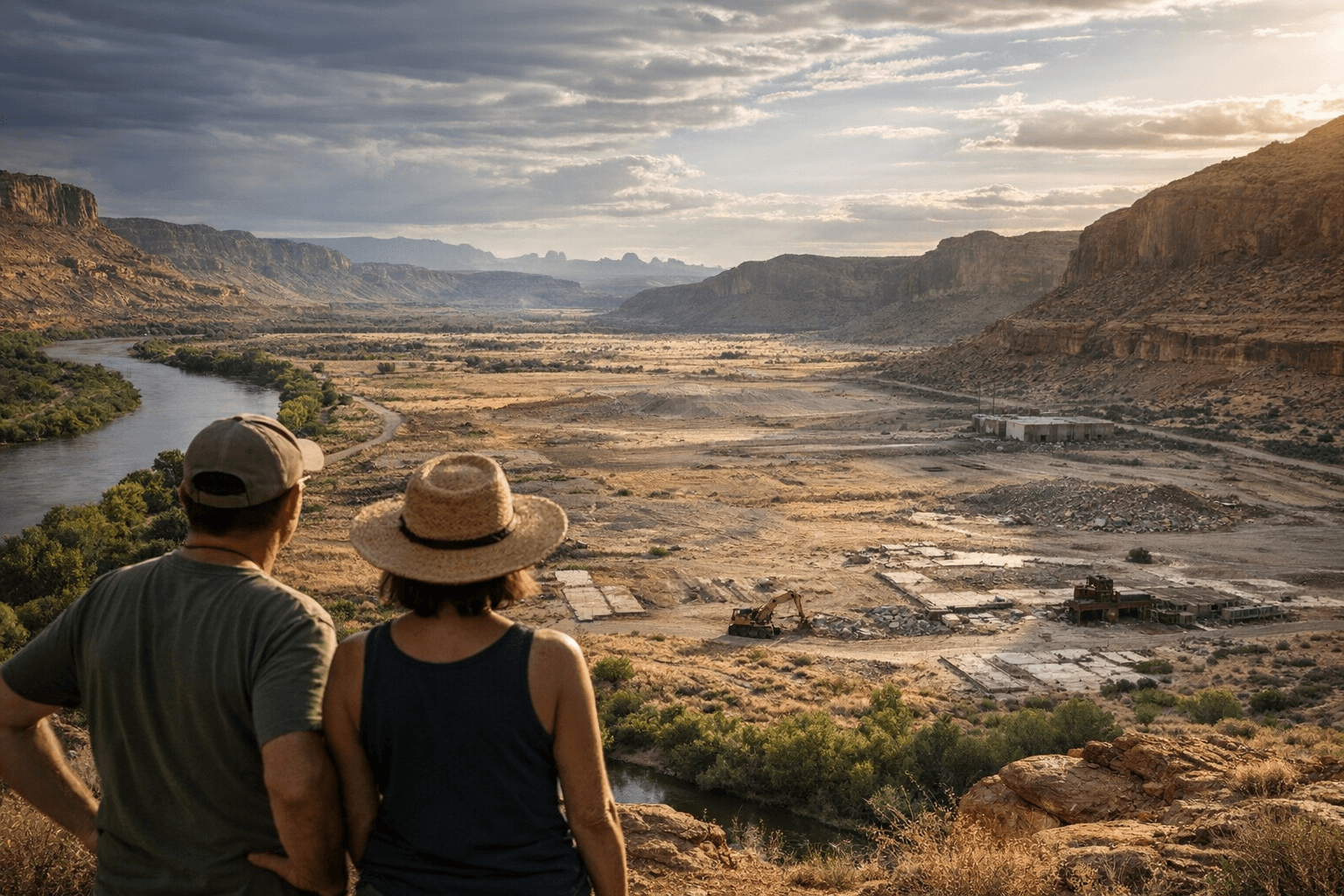
The giant uranium pile is gone from the north end of Moab, but the land it left behind may be even harder to manage. Nearly 480 acres along the Colorado River, just three miles northwest of town and about a mile from the Arches National Park entrance, now sits at the center of a decision that could shape river access, recreation, and Moab’s public identity for years.
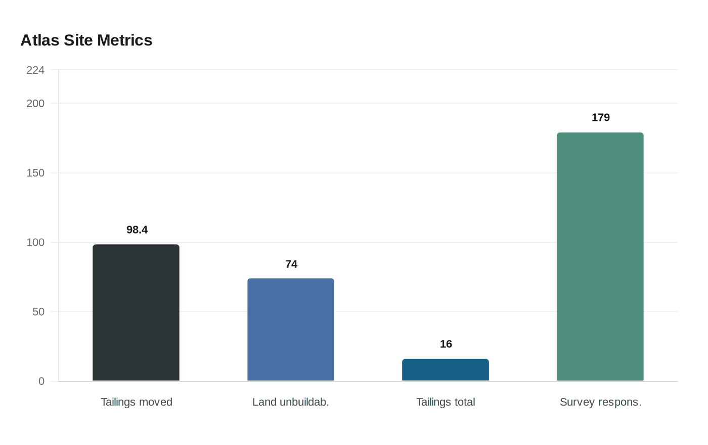
More than 98.4% of the estimated 16 million tons of tailings have been moved to the disposal site near Crescent Junction, clearing the former Atlas mill property of the waste that once defined it. But the site is far from a blank slate. It still carries the limits of a floodplain, steep hillsides, rights of way, conservation easements, and the river itself. Local leaders say about 74% of the land cannot be built on, the federal government discourages overnight use, and there may still be contamination below the surface. There is also no culinary water on site, which means any future use would require real infrastructure, not just a transfer of land.
That reality is why the county now has until June 1 to send the U.S. Department of Energy a wish list for what should come with the property. The list can include access roads, electrical systems, water and sewer lines, and the administrative office area. The decision will help determine whether the former mill site becomes a public amenity, a conservation burden, or a development headache that Grand County and Moab inherit before they know how to handle it.
The land’s history still hangs over every option. The mill was built in 1956 by Uranium Reduction Company, sold to Atlas in 1962, and operated until 1984. At its peak, it processed about 1,400 tons of ore per day. The cleanup that followed has taken more than 10 years, and some reporting says final work, including groundwater remediation, is still expected to continue until around 2029.
Moab has not been improvising from scratch. The Site Futures Committee was formed in 2012, and city and county vision plans were adopted in 2013, 2018, and 2023. The latest plan, built from 179 survey responses and a public open house, imagined an Atlas Park with an event center, trails, a riverside path, a boat ramp, sports courts, a splash pad, a food truck court, and a transit center. A March 2024 resolution from the county and city also asked for the land to be transferred to local control, while federal legislation has already moved out of committee in Congress and is waiting for a floor vehicle.
For Moab, the old tailings pile is no longer the problem. The new question is whether this visible stretch of riverfront becomes a park, a managed conservation area, a mixed civic project, or a long-term obligation with a uranium legacy still underneath it.
This article was produced by Prism’s automated news system from verified source data, official records, and press releases, then run through automated quality and moderation checks before publishing. The system is built and supervised by the people who set the standards it runs under. Read our full AI policy.
Did this article answer your question?

