Moab land-use debate centers on Steen property above Sand Flats trail corridor
A 235-acre ridge above Sand Flats could one day be rezoned for resort use, raising fears of more traffic, noise and pressure on Moab’s trail corridor.
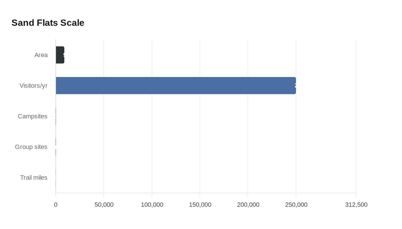
Sand Flats is the kind of place riders and campers feel before they ever see a map: 9,000 acres, more than 250,000 visitors a year, 140 campsites, six reservable group sites, and a trail network built into Moab’s identity. Now the Steen property above that corridor is at the center of a land-use fight that could change what people hear, see and deal with on the way to Slickrock and Porcupine Rim.
Grand County’s April 27 Planning Commission recap kept the debate alive even as routine zoning items moved ahead. The commission recommended a zoning map amendment 6-1, but the room kept circling back to the 235.23-acre request at 1021 N. Hell’s Revenge Trail, Parcel 03-0036-0063, owned by Minnie Lee Ventures, LLC and filed by Ashley Steen. Residents were still reacting to the earlier public hearing, and the comments turned from process to the practical question on everyone’s mind: what happens to a trail corridor when the land above it is no longer treated as open ridge, but as a resort-commercial site?
That shift matters because the county notice says the parcel is now proposed for Resort Commercial zoning from Range & Grazing. Local reporting has noted that Resort Commercial can allow up to five residential units per acre, which is why the full-buildout math has landed at roughly 1,175 units across the ridge. The applicant has said the request is meant to match the property’s long recreational use and allow expansion of Raven’s Rim Zipline amenities, including a rappel course, climbing zone, OHV-accessible event space and a food truck, not immediate housing. Even so, the zoning change would move the parcel into a far more intensive use category, with the potential for more traffic, more parking demand, more lights and more noise above the trail system.
That is where the Sand Flats context makes the argument sharper. Grand County says the recreation area was developed in 1995 in response to repeated health and resource violations, through a partnership involving the county, the Bureau of Land Management, AmeriCorps and the Moab community. It is also a major tourism engine, known for Slickrock and Porcupine Rim and nearly 30 miles of 4x4 trails. When a parcel sits above that landscape, the debate is no longer abstract planning language. It is about whether campers still hear wind and tires, or a new layer of development activity on the ridge.
Opposition has widened beyond neighbors. The City of Moab asked Grand County to deny the rezone, calling it premature and unnecessary and citing annexation, municipal services and possible drinking-water contamination concerns. City officials said the parcel is within Moab’s annexation plan, and Moab Springs Ranch owner McKay Edwards called the proposal a “death star.” The Grand County Planning Commission only makes recommendations, and the final decision rests with the Grand County Commission. After the April 7 public hearing, the county commission hearing was postponed at the applicant’s request, leaving the Steen property and the Sand Flats trail corridor tied together for the next round of county action.
This article was produced by Prism’s automated news system from verified source data, official records, and press releases, then run through automated quality and moderation checks before publishing. The system is built and supervised by the people who set the standards it runs under. Read our full AI policy.
Did this article answer your question?

