Moab plans safety fixes for key streets linking trails and lodging
Moab is finally treating the roads to the trailhead as part of the adventure. An open house June 8 will focus on the streets that carry visitors between lodging, bikes and dirt.
The streets behind the adventure economy
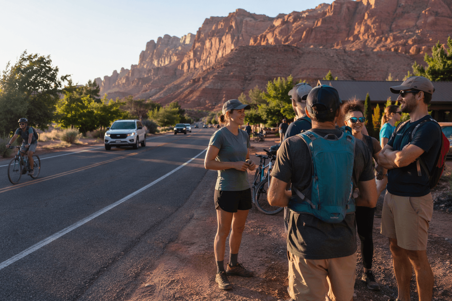
The road between your motel and the trailhead matters just as much as the trail once you are in Moab. The city and Grand County are now putting three of those connectors under the microscope, because Mill Creek Drive, Spanish Valley Drive, and Spanish Trail Road are where walkers, cyclists, drivers, and people rolling strollers or mobility devices are most likely to collide in the everyday flow of town.
This is not a cosmetic repaving story. It is about the corridors that move people from downtown Moab to campgrounds, hotels, outfitters, neighborhoods, and the red-rock routes beyond town, and it is being treated as a safety project with real stakes for the visitor experience.
The three corridors that matter most
The Safety Action Plan centers on three study corridors: Mill Creek Drive from 400 East/300 South to U.S. 191, Spanish Valley Drive from Mill Creek Drive to the county border, and Spanish Trail Road from U.S. 191 to Murphy Lane. Those are not abstract lines on a map. They are the streets that carry the daily mix of local errands and visitor traffic, which is exactly why they are showing up in the safety conversation now.
Mill Creek Drive is the most obvious town connector. The city describes it as a critical link between downtown, residential neighborhoods, commercial areas, and the USU Moab campus, which means it is one of the places where foot traffic, bikes, parking maneuvers, and through-traffic all stack up in a relatively small space.
Spanish Valley Drive and Spanish Trail Road play a different but equally important role. The city says both roads serve residential areas, businesses, and visitor accommodations in Grand County, which makes them the kind of collector routes that can feel fine in a truck and uncomfortable on a bike or on foot if the shoulders, crossings, and turning movements are not handled well.
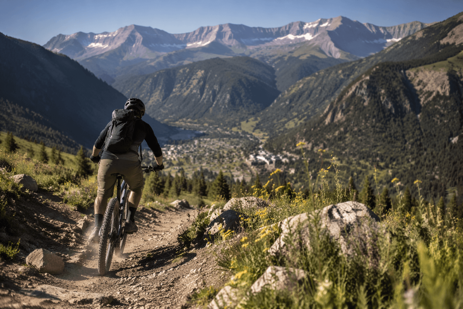
For adventure users, these are the stretches to watch because they are the seams in the trip. They are where the town-to-trail transition happens, and where the design of the street can either make a ride or walk feel intuitive and safe, or turn it into a nerve-grinding shuffle between cars, service vehicles, and people trying to get somewhere with gear strapped on.
What the plan is actually trying to change
The project is being built with support from a Safe Streets and Roads for All grant from the Federal Highway Administration, and its stated goal is straightforward: reduce and prevent serious injuries and fatalities for people walking, biking, driving, and using mobility devices. That matters because the plan is not just about smoothing traffic. It is about making the routes that local people and visitors already rely on less hostile.
The work also builds on the July 2022 Unified Transportation Master Plan, which the Grand County Commission adopted on August 16, 2022 as an amendment to the county’s general plan transportation element. That master plan was meant to identify, plan for, and prioritize near-, mid-, and long-term transportation projects, including street connections, roadway improvements, and new pathways that improve connectivity, multimodal transportation, and safety.
That earlier planning effort was substantial. A 2022 Moab transportation plan laid out 38 improvement projects across active transportation work, roadway fixes, and parking and transit improvements. The current safety plan takes that broader framework and narrows it to the corridors where the conflicts are most immediate and the consequences are most visible.
Why Moab keeps returning to downtown traffic
This is also where the bigger regional reality comes in. The Moab area attracts more than three million tourists a year, and U.S. 191 through downtown averaged over 18,500 vehicles per day in 2019, with that daily average projected to climb to 22,000 by 2050. That is a lot of pressure for a town that has to move residents, freight, rental cars, shuttle vans, bikes, and trail traffic through the same core.

Moab’s transportation debates have been circling around these issues for years, including the long-running question of whether downtown traffic should be bypassed. A 2025 UDOT concept study on the south Moab U.S. 191 corridor framed the challenge clearly: keep local access working while improving the experience of through-traffic. That same tension is what makes this corridor work feel so practical, because it is really about whether Moab can keep the town legible and safe while still functioning as the gateway to the adventure economy.
The city’s own timing shows how seriously it is taking the issue. A March 30 newsflash launched the Transportation Safety Action Plan, and the city, county, and consultant team are set to spend 2026 studying current conditions, identifying safety problems, and developing targeted improvements with the community.
How to weigh in before the open house
The main chance to speak up is Monday, June 8, 2026, from 4:30 to 6:30 p.m. at the Grand Center, 182 North 500 West in Moab. The city and county are hosting a joint open house so residents, visitors, and corridor users can learn about the plan and leave comments.
There is also an interactive comment map for anyone who wants to flag specific trouble spots before or after the meeting. That is the useful tool here if you know the exact place where the bike lane disappears, the crossing feels blind, or the shoulder forces walkers into traffic. Those are the details that matter most when a street is not just a street, but the link between town and trail.
Moab has spent years proving that access does not end at the park boundary. This plan is a reminder that the last mile, the part between lodging, downtown and the dirt, is part of the adventure too, and it deserves to feel as safe as the trail itself.
This article was produced by Prism’s automated news system from verified source data, official records, and press releases, then run through automated quality and moderation checks before publishing. The system is built and supervised by the people who set the standards it runs under. Read our full AI policy.
Know something we missed? Have a correction or additional information?
Submit a Tip