Moab water study revises Spanish Valley aquifer supply lower
Moab’s water comes from a smaller, mountain-fed aquifer than old assumptions suggested, and that should change how you think about every gallon in town.

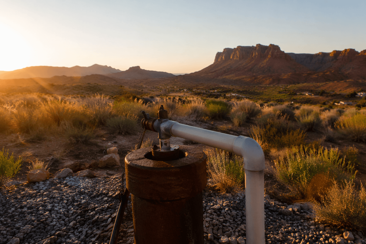
Moab’s adventure economy runs on water you cannot see. The 2019 USGS map of the Spanish Valley aquifer makes that plain: most of Moab’s drinking water comes from the Glen Canyon Group aquifer, and the system is fed largely by snowmelt and mountain recharge, not by some endless reservoir under town.
The aquifer under the red rock
The key shift in the USGS work is simple but consequential. The agency estimated the total groundwater entering and leaving the Spanish Valley aquifer system at about 13,000 to 15,000 acre-feet a year, with safe yield roughly 12,000 to 14,000 acre-feet. That is about 30% to 40% lower than the 22,000 acre-foot figure used in 1971, which means the valley’s recoverable groundwater is smaller than older planning assumed.
That matters in Moab because this is not abstract hydrology. This is the water that keeps taps running in a town built around rafting shuttles, trailheads, motels, outfitters, restaurants, and campgrounds. The 2019 study was the first full groundwater assessment of the Spanish Valley watershed since the early 1970s, and it replaced a rough older picture with a much sharper one.
Where the water actually comes from
The new map also changes the mental model most visitors carry around. The study found that most recharge to the Glen Canyon Group aquifer happens high in the La Sal Mountains, not on the sandstone outcrop near Moab. In other words, the source is closer to a mountain watershed than a desert sponge beneath the town center.
The report put average annual recharge to the Moab-Spanish Valley watershed at between 9,550 and 30,000 acre-feet. It also found that Pack Creek, rather than the Glen Canyon Group aquifer itself, is the primary source of recharge to the valley-fill aquifer. Groundwater generally moves downgradient toward the Colorado River, and outflow from the watershed to the river is only about 300 to 1,000 acre-feet a year, far below the 11,000 acre-feet estimated in 1971.
That is the kind of detail that should stick with you when you are drinking a glass of water after a hot trail day. Moab is not sitting on an unlimited underground lake. It is tied to snow, elevation, stream losses, and irrigation return flows in a much wider watershed.
Why the numbers are hard to pin down
Hydrologists do not get a clean, easy count of recharge in a place like this because the water moves out of sight. The USGS study relied on water-quality, water-level, flow, stable-isotope, and noble-gas data collected from 2014 to 2016 to build a more detailed hydrologic model. Even with that work, the system still has a range instead of a single neat answer, because recharge is shaped by snowmelt, evaporation, and plant uptake.
That uncertainty is not a reason to shrug. It is a reason to be conservative. The study’s bottom line is that modern science agrees on the direction of the trend even if it cannot draw a perfect ceiling around the aquifer. New withdrawals increasingly pull from stored groundwater instead of annual recharge, which is exactly why local water debates in Grand County are so charged.
What it means for anyone visiting Moab
If you travel through Moab with a desert mindset, the practical takeaway is straightforward: water here is finite, slow to replace, and linked to mountain weather far beyond town. The place can still support the recreation economy that draws people to it, but only if growth, daily use, and planning stay aligned with what the aquifer can actually give.

That should shape how you move through town. Fill bottles with the same habit you bring to fuel stops. Be stingy with unnecessary water use in lodging and camp, because the municipal supply is not detached from the basin feeding the river corridor. And when you are choosing between convenience and conservation, remember that every extra demand stacks onto a system whose true size was revised downward.
The study itself was done with a broad local and state coalition: the Utah Division of Water Rights, City of Moab, Grand and San Juan Counties, Grand Water and Sewer Service Agency, Utah School and Institutional Trust Lands Administration, The Nature Conservancy, Utah Division of Wildlife Resources, Living Rivers, San Juan Spanish Valley Special Service District, the U.S. Bureau of Land Management, and the U.S. Forest Service. That list tells you how many institutions have a stake in getting the numbers right.
The county fight is about more than a planning document
Grand County is still wrestling with how to turn that science into policy. In June 2026, the county’s draft Water Use and Preservation Element had already missed Utah’s December 31, 2025 deadline by about five months, and the Planning Commission was split over what the plan should actually cover.
One camp wanted the document to stay narrow, focused on demand from new development. The other wanted it to address source protection, climate change, and supply policy, including the aquifers behind Moab’s drinking water, such as the Glen Canyon aquifer and the Castle Valley aquifer. The commission settled on a middle path: keep aquifer protection in the general plan as guidance for later land-use code updates, but stop short of locking regulatory commitments into the plan itself. Final adoption authority now sits with the Grand County Commission.
That is the part visitors should watch most closely. The desert does not care whether a town is popular with mountain bikers, climbers, rafters, or road-trippers. If the aquifer is smaller than old maps suggested, then the pace of growth, the shape of conservation rules, and the long-term health of Moab’s drinking water all become one problem. The 2019 map did not just redraw groundwater boundaries. It put a limit line under the town’s future.
This article was produced by Prism’s automated news system from verified source data, official records, and press releases, then run through automated quality and moderation checks before publishing. The system is built and supervised by the people who set the standards it runs under. Read our full AI policy.
Did this article answer your question?

