NWS Issues Critical Fire Weather Alert for Four Corners Region March 26
Humidity as low as 5% and temperatures up to 20 degrees above normal pushed the NWS to declare critical fire weather across the Four Corners on March 26.
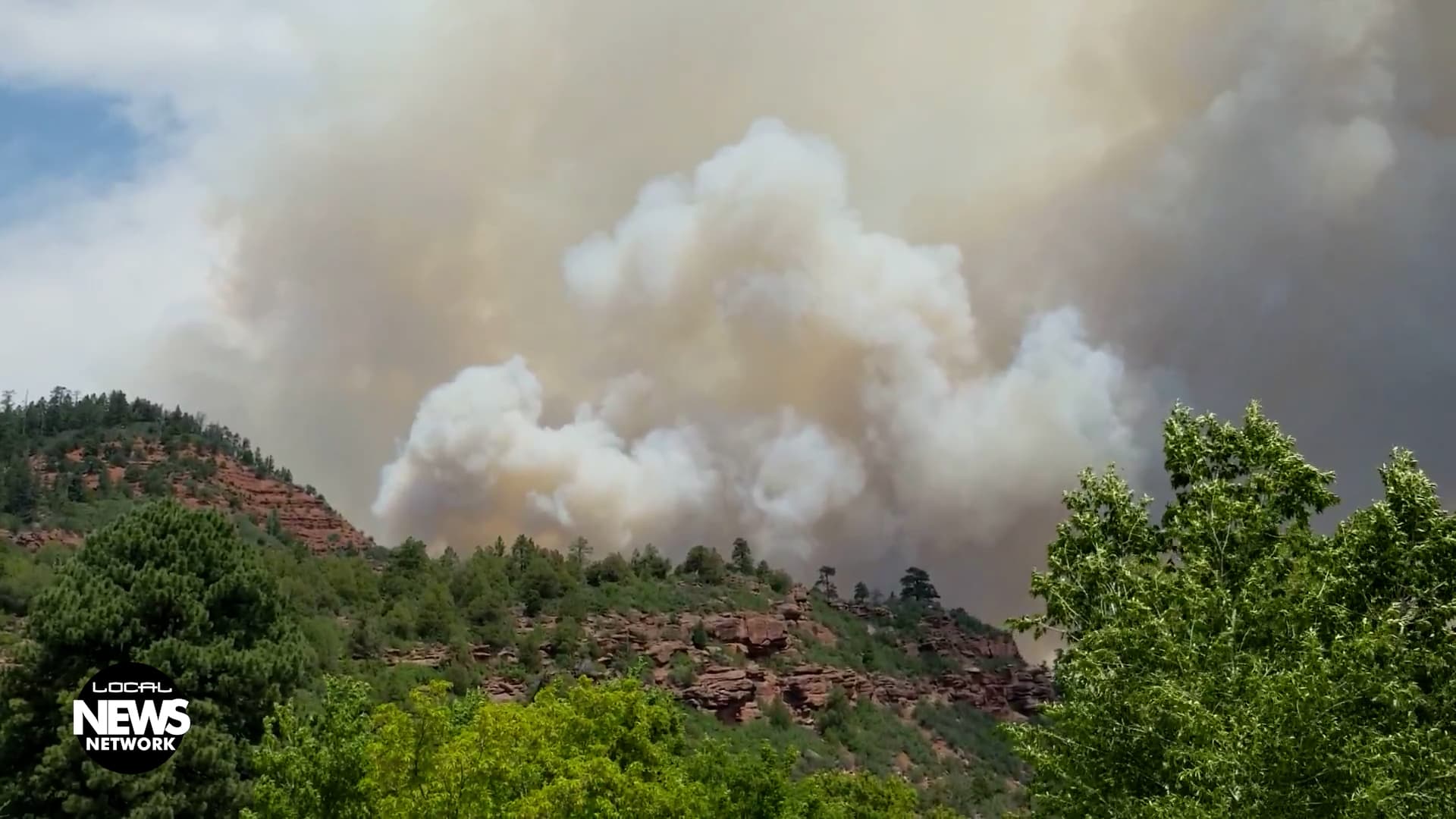
A persistent upper-level ridge centered over northern Mexico and West Texas, combined with a mid-level shortwave trough driving eastward across the Four Corners into the central Great Plains, set the stage for one of the more dangerous fire weather days the region has seen this March. The NWS Weather Prediction Center elevated conditions to critical across the Four Corners, central and southern Rockies, and Great Plains on Thursday, March 26, with the threat extending through early Friday, March 27.
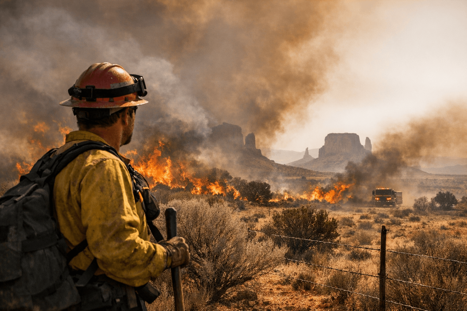
Dry downslope flow ahead of an advancing cold front dominated much of central and eastern New Mexico into the Texas and Oklahoma Panhandles, northwestern Oklahoma, and extreme southern Kansas, where sustained west-southwesterly winds of 30–40 km/h (20–25 mph) overlapped with critically low relative humidity values of 5–15%, creating an environment conducive to rapid fire spread. For context, humidity readings in that 5–10% range, particularly in the lee of the Sacramento Mountains, place fuels at near-instant ignition threshold.
KSJD Community Radio's Lacy "LP" McKay, reporting from Cortez, framed the heat side of the equation in stark terms: "Very hot, record-setting temperatures" continued across the southern two-thirds of the Intermountain West into the High Plains, and this week also brought the first Fuels and Fire Behavior Advisory of 2026, highlighting a large area across the central and southern Great Plains, including parts of Colorado, Kansas, New Mexico, Oklahoma, and Texas. McKay noted that temperatures reached up to 20 degrees above normal and that low snowpack had already been raising fire weather concerns across the Four Corners heading into the week. Above-normal grass growth, combined with leftover fuels from last year and newly cured vegetation, created continuous fuel beds across more than 100 million acres, and under recent hot, dry conditions, those fine fuels became highly receptive to ignition and capable of supporting rapid, wind-driven fire spread.
The threat was not limited to New Mexico and the panhandles. Similar conditions extended across northeastern and east-central Colorado, where high-based convection developed within a deeply mixed boundary layer featuring lifted condensation levels of 3–4 km (1.9–2.5 miles) above ground level. Limited instability of 50–150 J/kg MUCAPE and minimal precipitation meant the convection produced little in the way of rain. Instead, the forecast warned, dry lightning favored additional fire starts in those areas.
The local dryness context around Cortez adds weight to that concern. Only a little more than an inch of precipitation fell on Cortez in all of February, leaving fuel moisture deficits heading into what is typically the region's windiest shoulder season. The Ranger Road fire in February moved nearly 70 miles in a single burning period, and with fuel moistures trending near record lows for this time of year, similar conditions could support fast-moving fires and new large fire activity when winds align.
As for the weekend outlook, McKay's reporting offered a measured but clear warning: winds eased a bit by Friday, but dry conditions and occasional gusts were expected to keep fire danger elevated through the weekend. The greatest temperature anomalies extended from the central and southern High Plains to Illinois and Indiana, where high temperatures were forecast to reach 25–35 degrees above average, with numerous daily records expected to be tied or broken across the Central and Southern Plains.
The fire weather threat was already forecast to shift southward into the Four Corners corridor, with the SPC Day 2 outlook having highlighted critical conditions across central New Mexico into the Texas and Oklahoma Panhandles and northwest Oklahoma, where low relative humidity and strengthening winds were expected to persist. Thursday's critical designation confirmed that forecast was on track. Anyone planning outdoor activity in the backcountry this weekend should check updated Red Flag Warning status with the local NWS office and treat any ignition source, including vehicle exhaust and campfire ash, as a live threat until conditions fully moderate.
This article was produced by Prism’s automated news system from verified source data, official records, and press releases, then run through automated quality and moderation checks before publishing. The system is built and supervised by the people who set the standards it runs under. Read our full AI policy.
Did this article answer your question?

