San Juan National Forest page flags closures, fire rules, road risks
Fire bans, a Ferris Fire closure, and road limits can change a San Juan trip before you leave town. The page also spells out where camping is still legal and where it is not.

Stage II Fire Prohibitions are in effect across the entire San Juan National Forest starting at 12:01 a.m. on July 1, 2026. The San Juan National Forest current-conditions page also pulls together closures, road status, and camping rules that can change the route you take, the gear you pack, and whether you can legally stop for the night.
What the page is really telling you
San Juan National Forest covers about 1.8 million acres in southwestern Colorado, with headquarters in Durango and district offices in Bayfield, Dolores, and Pagosa Springs. The Colmbine Ranger District manages 691,310 acres and the Pagosa Ranger District manages 585,770 acres, so a single drive can cross into very different access rules and terrain conditions fast. The current-conditions page is set up as a decision tool for that kind of trip, not a static notice board.
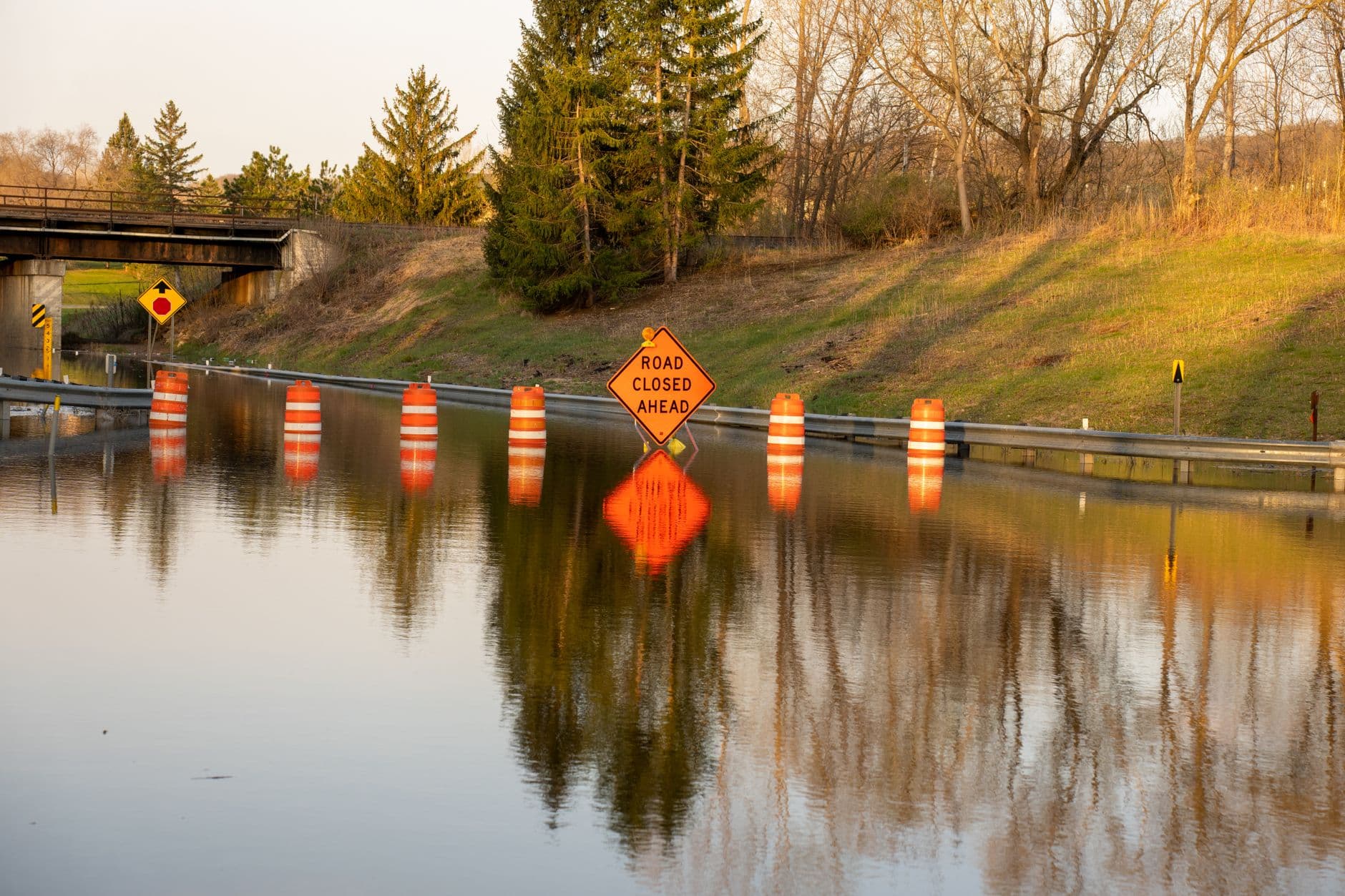
The road-status tables are updated as soon as ranger districts relay information, which is exactly why they are worth checking before you commit to a trailhead, dispersed campsite, or fishing access point. The page warns that any road can be blocked by downed trees or snow at any time, and stranded vehicles will not be rescued by the Forest Service or the counties. In steep country or flood-prone drainages, that is the difference between a normal dirt-road delay and a self-inflicted overnight problem.
Fire rules now shape where you can stop and how you travel
Fire prevention and law-enforcement personnel are patrolling, and violators will be ticketed. For visitors, that means fire planning is not optional: you need to assume a tighter backcountry routine before you even reach the trailhead.
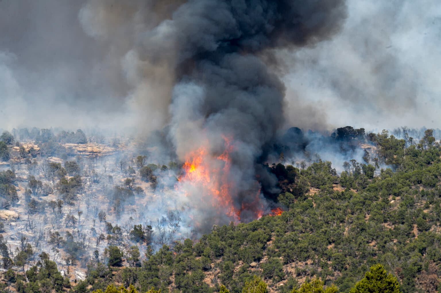
That restriction sits alongside the Ferris Fire area closure in the Dolores Ranger District, which began June 28, 2026 and is scheduled to run through December 31, 2026 unless rescinded. The fire is burning about 30 miles northwest of Dolores and about 10 miles east of Cahone, Colorado, and the closure affects places including Bradfield Campground, Dry Canyon Day Use Area, and Glade Guard Station. If your plan depended on a campsite or access point in that zone, the page turns that into a hard no, not a maybe.
Hermosa Creek is a road-closure problem, not just a project notice
The Mainstem Hermosa Creek Culvert Installation Project is meant to improve aquatic habitat, restore trout passage, and enhance public safety along NFSR 578, also known as Hermosa Park Road. The road closure tied to that work is scheduled for September 8 through October 13, 2026, and the project is part of a 30-year cutthroat trout restoration effort across 23 miles of stream habitat laid out in the Hermosa Creek Watershed Management Plan signed in 2018.
Roadside closures are expected to temporarily reduce dispersed camping options in Upper Hermosa, so anyone planning to base camp there or use that corridor for trail access needs a different backup plan. The forest is also keeping a project information line at 970-501-5830 during implementation, which is useful if you are trying to time a route around construction before you head out.
Flood damage still affects the backcountry feel of the forest
The forest is still living with the aftereffects of historic flood events in early October 2025, which damaged or destroyed roads, bridges, trails, and other infrastructure. Assessment work is expected to continue into summer 2026 because of the extent of the damage, and the hazards listed on the current-conditions page are the kind that can stop a trip in its tracks: log jams in Vallecito Creek and other waterways, shifting boulders, debris slides, and watercourse changes.
A road that looks passable on a map may be missing a bridge approach, undercut by water, or blocked by debris in a drainage that used to be straightforward. The forest also received Federal Highway Administration Emergency Relief for Federally Owned Roads support after the flood event.
Camping rules are corridor-specific
The broad rule is that camping is allowed in most places on the forest, but several popular corridors have tighter limits. In La Plata Canyon, camping is restricted to designated sites and developed campgrounds, including Darby, La Plata City, Bay City, Miners Cabin, and Madden Creek, plus the developed campgrounds at Snowslide and Kroeger. Snowslide has 13 first-come, first-served sites, while Kroeger Campground sits 5 miles up County Road 124 from Hesperus.
The forest is even more specific in other places. Camping is not permitted along the first 8.5 miles of Junction Creek Road, there is a 300-foot limit when accessing campsites from forest roads, and no motor vehicles may travel off South Mineral Road or Clear Creek Road to reach camping spots in South Mineral Creek.
How to use the page before you go
If you are heading into the San Juans this week, the page gives you a clear order of operations: check the road tables, check the forest orders, then confirm whether your camping plan fits the corridor you are using. The page also links to its incident-information line, road-conditions resources, forest orders page, MVUM, and interactive visitor map, because the answer to “can I get there?” often depends on more than one document.
The main information line is 970-247-4874, and the incident-information line is 970-403-5212.
This article was produced by Prism’s automated news system from verified source data, official records, and press releases, then run through automated quality and moderation checks before publishing. The system is built and supervised by the people who set the standards it runs under. Read our full AI policy.
Did this article answer your question?