Kona divers rely on coastal waters forecast for safer trips
Kona divers use the coastal waters forecast as a pre-dive filter: wind, swell direction, wave height, and small-craft advisories can turn a charter into a no-go.
Before you commit to a two-tank run out of Kailua-Kona or a shore entry in South Kona, the Hawaiian Coastal Waters Forecast tells you what the ocean is likely to do next, not what the beach looked like an hour ago. Wind, swell direction, wave height, and any small-craft conditions can decide whether the day stays on schedule, shifts to a more sheltered site, or gets scrapped before the boat ever leaves Honokōhau or Keauhou.
Start with the forecast that speaks your language
The National Weather Service Honolulu Forecast Office maintains the Hawaiian Coastal Waters Forecast for Hawaii, along with offshore waters forecasts, surf forecasts, marine weather warnings, observations, and forecast discussions. That package lets you check the marine picture by zone instead of guessing from a general island-wide weather app. Its mission is to provide accurate and timely watches, warnings, advisories, and forecasts for hazardous weather conditions using available science and technology.
For Kona scuba, the big advantage is that the forecast is operational. Boat charters need to know whether the ride offshore will be safe and comfortable, not just whether the sky is blue. Shore divers, snorkelers, and freedivers use the same information to judge whether an entry, exit, or surface swim will stay manageable once they reach the waterline.
Read wind first, because it changes the whole plan
Wind is the first number to check because it changes both the ride and the dive. Stronger wind can rough up the surface, make a boat pickup less pleasant, and turn a calm-looking site into something far less forgiving once you are actually in the water. In Kona, where the leeward side often behaves differently from the windward coasts elsewhere in Hawaii, the wind line in the forecast helps you separate a good morning from a marginal one.
The direction matters as much as the speed. A forecast that looks manageable on paper can still mean a bumpy transit or blown-out surface conditions if the wind lines up poorly with the coastline. For shore diving, that can mean more chop at exposed entries and exits, more surge on the reef, and a tougher time getting gear on and off without a scramble.
Treat swell direction and wave height as site-specific, not island-wide
Wave height is the other number that needs context. A modest height can still be a problem when the swell is aimed directly at the wrong coastline, while a larger height can stay surprisingly workable at a more protected site. That is why Kona divers should read swell direction with the same attention they give to the size itself.
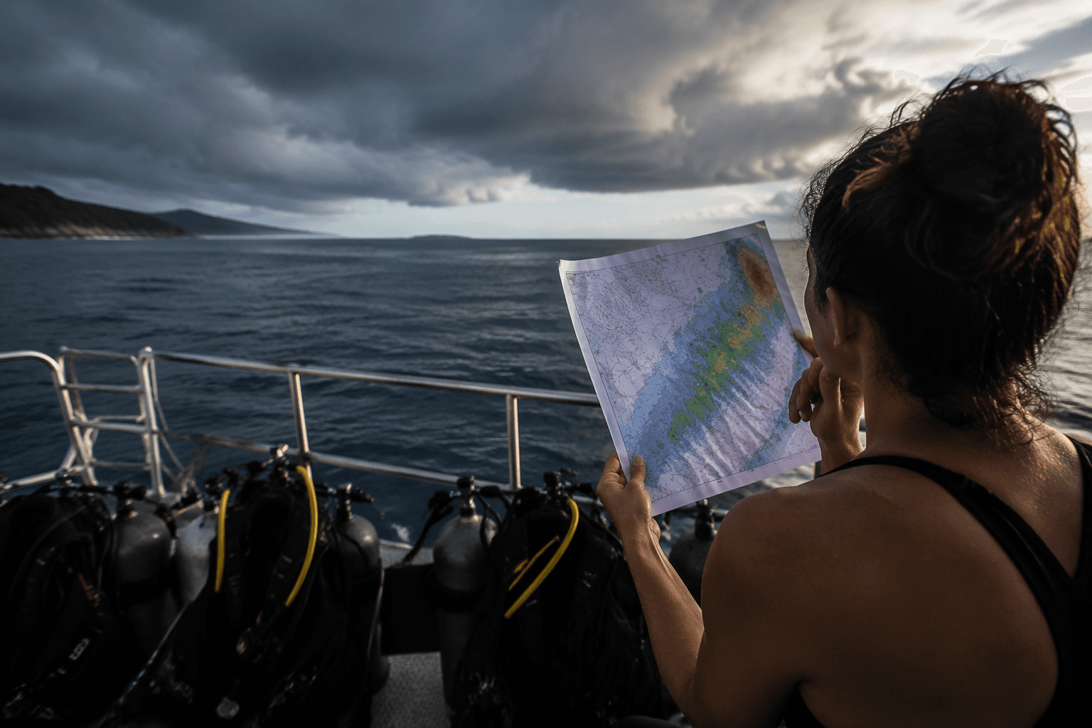
This matters across the Big Island because the exposure changes so much from one coast to the next. Kailua-Kona, Honokōhau, Keauhou, and South Kona can all respond differently to the same swell pattern, and a site that looks fine from town may be too exposed for a clean shore entry once you get there. The forecast helps you decide whether to stay with the original plan, shift to a sheltered spot, or leave that dive for another day.
Use small-craft conditions as a real go-no-go signal
When the forecast mentions small-craft conditions, treat that as a serious planning flag, not background noise. For divers on charters, it can mean a rougher run, reduced comfort, and a higher chance that the captain will adjust departure timing or change the site. For anyone heading out in a smaller boat, it is often the clearest warning that the water will be less forgiving than it looks from shore.
The National Weather Service keeps marine weather warnings in the same family of products as the coastal forecast. The office also asks mariners to become part of the U.S. Voluntary Observing Ship Program by submitting reports, which shows how much the forecast depends on real-time on-the-water observations as well as computer guidance.
Put Kona in the wider Hawaii weather picture
The forecast is local, but the weather system behind it is broader. NOAA's Central Pacific hurricane season runs from June 1 through November 30 each year. Effective February 17, 2026, the High Seas North Pacific forecast covers about 82,800 square miles from the equator to 30N and from 140W to 180W, showing how the coastal product fits inside a much larger marine warning network.
The Honolulu Forecast Office documented the December 2021 Kona low event, with the Big Island hit first on December 5 and Maui and Oahu affected on December 6 through 7.
This article was produced by Prism’s automated news system from verified source data, official records, and press releases, then run through automated quality and moderation checks before publishing. The system is built and supervised by the people who set the standards it runs under. Read our full AI policy.
Did this article answer your question?