Meshtastic Apple app adds offline maps, 3D routes, and geofences
Meshtastic-Apple is pushing its map into full field-control territory with offline Protomaps tiles, 3D route flyovers, and waypoint geofences. That helps iPhone users stay useful off-grid.

Meshtastic-Apple is turning its map into a real field-control surface. The current work centers on a native MapKit map, an offline Protomaps basemap, and trace routes that can be viewed with 3D flyover, giving iPhone, iPad, and Mac users a better way to find nodes and read the terrain when the mesh is carrying the load.
That shift matters because Meshtastic is built for exactly those conditions. The project is an open-source, decentralized off-grid mesh networking system that uses inexpensive LoRa radios and does not depend on cell towers, Wi-Fi, or internet connectivity. Meshtastic already uses its site planner to generate a color-coded predicted coverage map from terrain simulation and the ITM/Longley-Rice model, so the Apple-side map work is lining up with how operators already think about reach, ridgelines, and dead zones.
The Apple map tab already shows every node that has shared a position over an Apple Maps base layer, and as of June 2026 the app remembers persistent filters for online status, favorites, distance, hops, roles, and connection type across launches. Those filters also carry across the Nodes list, Messages contacts, and the map, which makes the app faster to use when the operator is moving between views during a live deployment. GeoJSON overlay rendering with color and RGB styling adds another layer of usefulness, because raw map data can be turned into a readable overlay for a trail ride, a roadside convoy, or a site survey.
The repo history also points to tighter operational controls. A 2026 issue documented waypoint geofence support as a reference implementation, and another issue noted that route lines worked but node history was too much for the mesh map, so the next release filtered that history out. A precise-locations-only filter for the mesh map goes in the same direction, keeping the display focused on nodes that can actually be pinned down instead of turning the screen into a cluttered log.
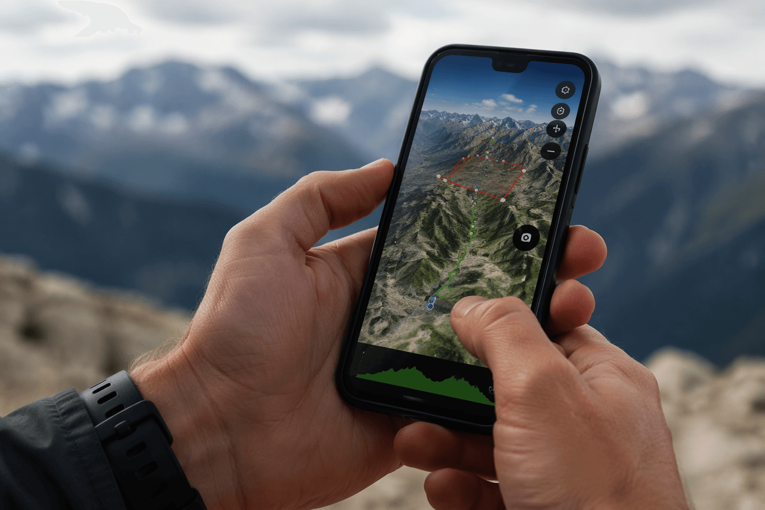
Offline mapping has been the sticking point for a while. A 2024 issue said Apple-map-based offline support was unusable in places without good Apple coverage and asked for MBTiles support to come back. Protomaps offers a more portable answer, with basemaps generated from OpenStreetMap and other sources and packaged as PMTiles for display and downloads.
The rest of the Apple stack still reinforces that field-first direction. Meshtastic’s docs list CarPlay and Siri support, with CarPlay requiring iOS 18 or later, a supported CarPlay head unit or Xcode simulator, a connected Meshtastic device, and Siri authorization. Put together, the app is becoming less about checking whether the mesh is alive and more about seeing where it is, how it routes, and what the terrain is doing to it right now.
This article was produced by Prism’s automated news system from verified source data, official records, and press releases, then run through automated quality and moderation checks before publishing. The system is built and supervised by the people who set the standards it runs under. Read our full AI policy.
Did this article answer your question?