GeoForager webinars turn mushroom foraging into predictive mapping
GeoForager’s webinars treat mushroom hunting like a mapping problem, with burn-morel timing, habitat clues, and terrain screens replacing guesswork.
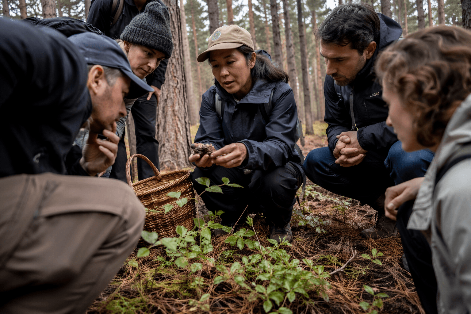
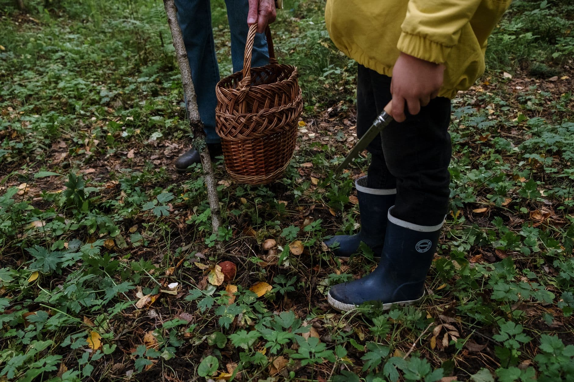
GeoForager is pushing mushroom hunting into a different lane: less folklore, more field data. Its webinar lineup treats morel season like something you can read through fires, forest type, soil, elevation, and weather patterns, then use again later as a repeatable system.
The new school starts with burn morels
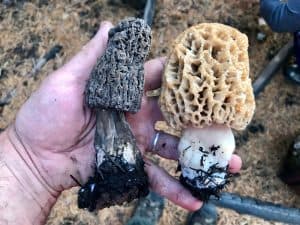
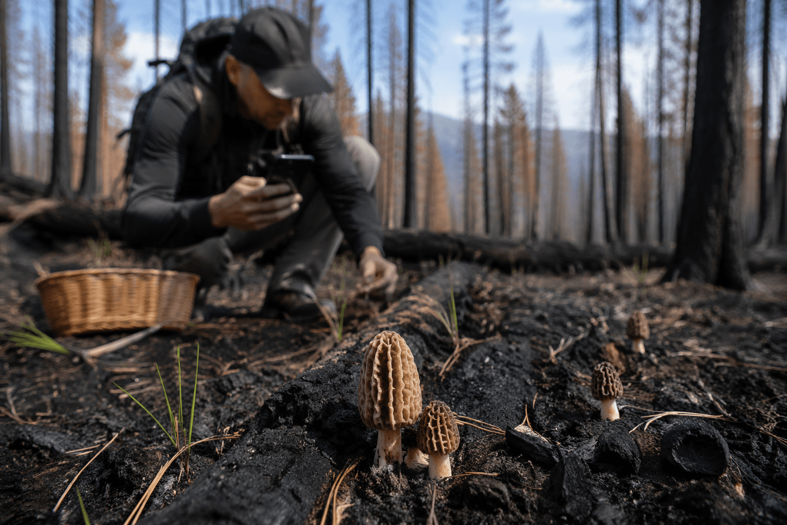
The most useful entry point is the June 17, 2026 session on late-season burn morels. GeoForager frames it as an in-depth look at how to find summer burn morels and which conditions matter most for success, which is exactly the sort of talk an intermediate forager can cash in on. It is not just about “go after a fire” in the vague sense, but about answering the real questions that decide whether a patch is worth a drive: when the mushrooms are likely to show, where they tend to pop, how weather shifts fruiting, and what terrain features actually deserve attention.
That matters because burn morels have always attracted a lot of confident talk and not enough repeatable method. A session like this is useful precisely because it translates the old campfire wisdom into a checklist you can use before you lace up your boots. GeoForager also points viewers to a recording of the session, which makes the webinar function as both live instruction and a reference you can revisit when you are planning the next run.
What the June 17 session is really teaching
The headline topic is late-season burn morels, but the practical value is in the subtext. The session promises coverage of timing, search areas, weather influence, and terrain, which are the four levers that usually separate a decent season from a frustrating one. If you already know how to identify a morel, this is the part that helps you stop wasting gas on dead zones and start narrowing your odds.
What makes that especially relevant is the way GeoForager is linking fruiting to conditions instead of just species names. Foragers who already understand basic habitat can use this kind of instruction to sharpen their judgment: not just “is this a burn?” but “is this burn in the right window, with the right moisture pattern, and the right land structure to justify a hunt?”
Finding new spots becomes a repeatable process
The June 24 webinar, Discover New Mushroom Spots, takes the same logic and applies it to scouting. Instead of treating productive patches as lucky accidents, GeoForager says the session will show how to extract habitat clues from known spots and then find similar areas nearby. That is a big shift for anyone who has spent years relying on memory, rumor, and one good season’s worth of intuition.
The details matter here. The session is built around identifying similar tree types and forest types, reading land cover, analyzing soil types, and building elevation and topography screens. In practice, that means you are not just asking where mushrooms have been found, but what the site is telling you about why they were there in the first place. Once you start thinking in those terms, a productive patch becomes a template, not a one-off.
Why habitat mapping changes the game
For intermediate hobbyists, this is where the webinar series gets genuinely useful. Habitat mapping does not replace scouting, but it can cut the amount of blind walking you do. If you know a patch likes a certain tree association, a certain forest structure, and a particular slope or elevation band, you can stack the odds before you ever hit the trail.
- start with a known productive patch
- note the tree type and forest type
- check land cover for similar stands nearby
- filter by soil type
- screen elevation and topography
- use those layers to build a target list for field checks
GeoForager’s approach suggests a practical workflow:
That is a more technical way to hunt, no question. It also makes sense for people who already spend time studying maps before a trip, because it turns map reading into a mushroom-specific skill instead of a general outdoor habit.
Predictive maps are the logical next step
The July 8 session pushes the idea even further with predictive maps built in GeoForager’s own platform. The premise is simple: combine habitat and terrain data, then turn that into mushroom forecasts. That is the cleanest expression of the “new school” approach in the lineup, because it treats foraging as a data problem you can model instead of a mystery you can only solve by repetition.
Predictive mapping is where the promise gets both exciting and a little more technical. On the upside, it gives foragers a way to prioritize likely ground instead of scattering effort across every promising-looking hillside. On the downside, it can create a different kind of dependency, where the map becomes the hunt and the woods become secondary. The best use is probably in the middle: let the layers tell you where to start, then let your boots and eyes confirm what the screen suggests.
The recordings turn the webinar page into a field manual
GeoForager is not only running live sessions, it is also keeping prior recordings available. One is the 2026 Burn Morel Season Overview, which looks at the fires expected to produce morels from April through August and covers tree types, topography, weather patterns, and elevations. That broader seasonal frame matters because it stretches the conversation beyond a single hot week and into the actual rhythm of a burn-morel year.
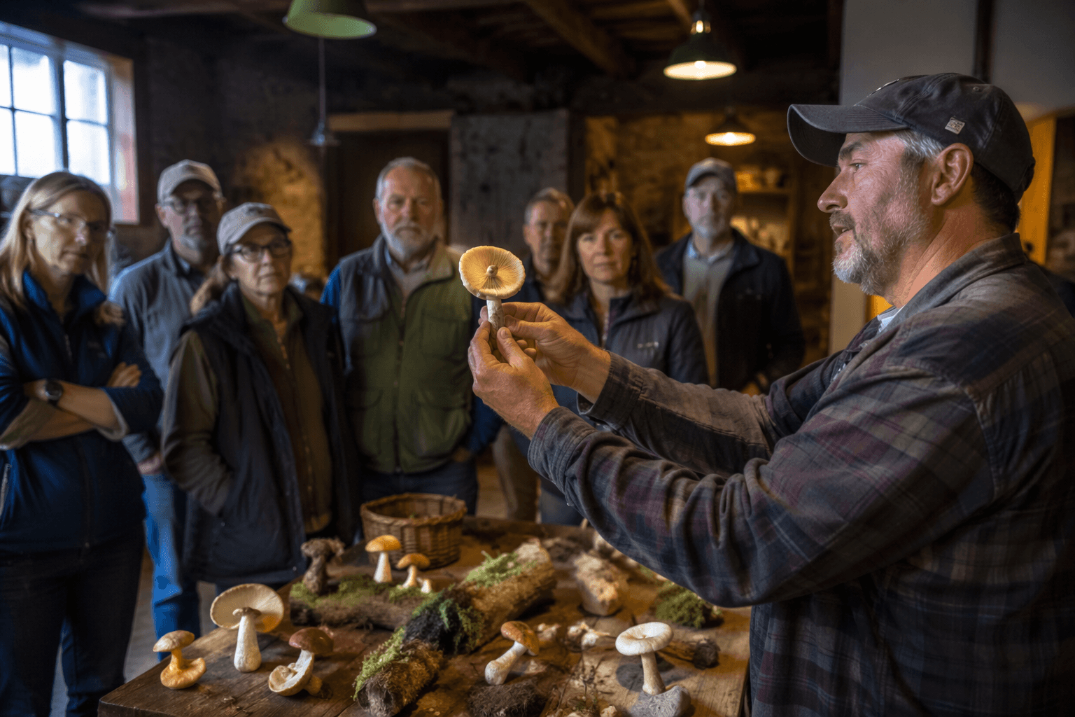
The other recording, How to Use GeoForager to Find More Mushrooms, is even more practical. It walks through wildfire and logging maps, public land and private property tools, and timing overlays that help determine when to go. That combination of access, legality, and timing is the real backbone of modern mushroom scouting. It is not enough to know a spot looks good; you need to know whether it is reachable, huntable, and in season.
Accessible, or just more technical?
That is the question running under the whole lineup. In one sense, these webinars absolutely make mushroom hunting more accessible, because they give a structured way for intermediate foragers to learn what experienced locals often keep in their heads. A good habitat model can shorten the learning curve, especially for people trying to expand beyond one favorite patch or one hometown burn.
But they also make the hobby more technical, and that is the tradeoff. You are learning to read forest types, soil, topography, and land status with the same seriousness that older hunters once reserved for weather signs and boot tracks. For some foragers, that is a welcome upgrade. For others, it may feel like the woods are being turned into a spreadsheet.
GeoForager’s webinars make the case that the best hunting now lives in both worlds. You still have to walk the ground, trust your eyes, and know a good mushroom when you see one. The difference is that the new school wants the map to do more of the guessing before you ever leave the driveway.
This article was produced by Prism’s automated news system from verified source data, official records, and press releases, then run through automated quality and moderation checks before publishing. The system is built and supervised by the people who set the standards it runs under. Read our full AI policy.
Did this article answer your question?