Coconino National Forest plans 11,000-acre prescribed burn near Clints Well
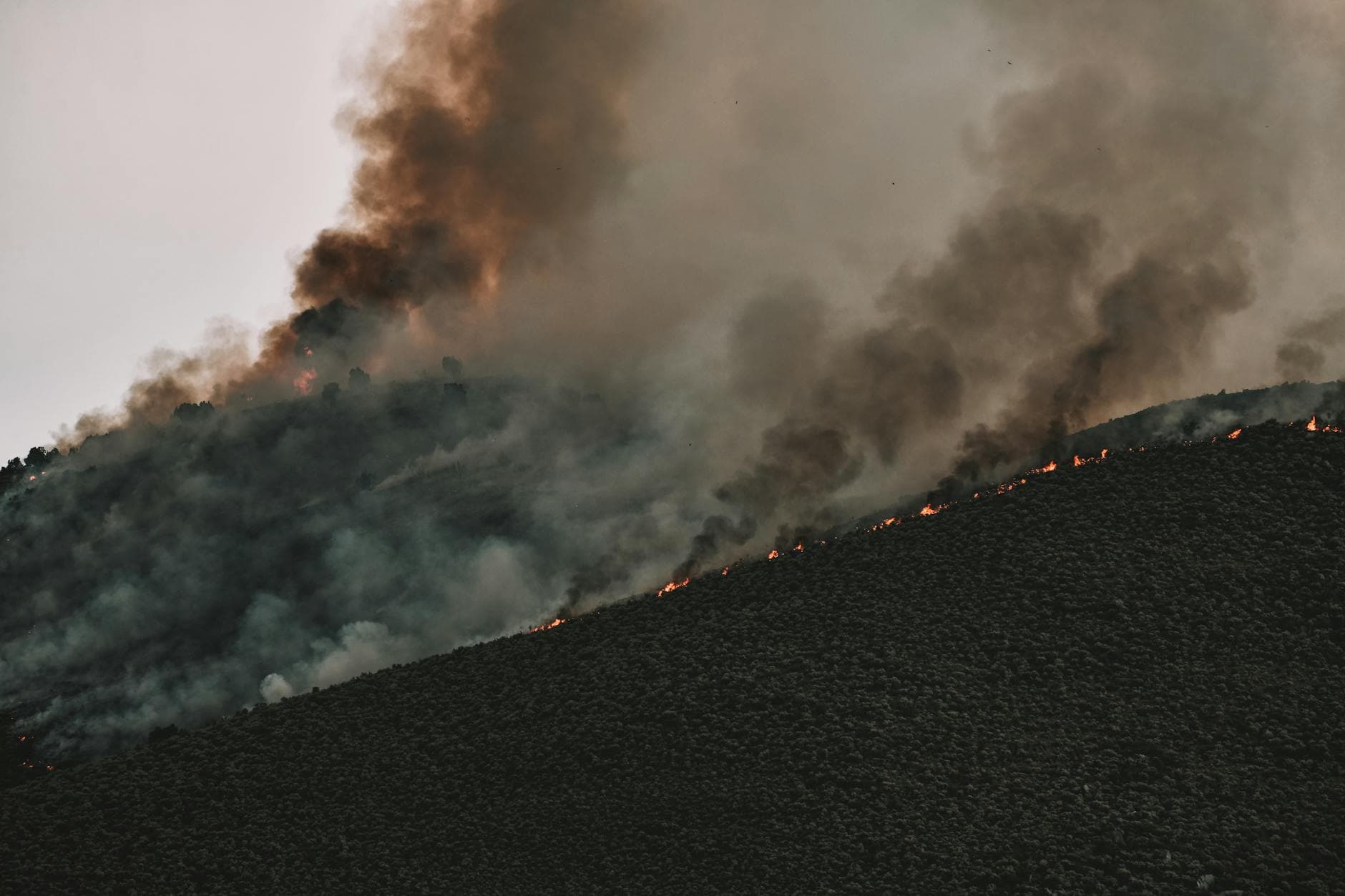
Smoke from an 11,000-acre burn north of Clints Well could drift into Blue Ridge, Stoneman Lake and the Verde Valley during the May 12-15 window.
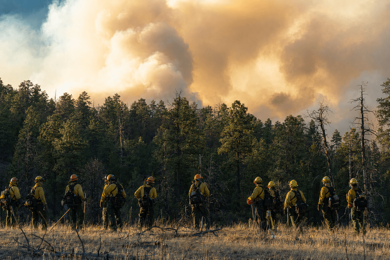
An 11,000-acre prescribed burn north of Clints Well put a smoky question mark over one of northern Arizona’s spring travel corridors, with ignitions scheduled for May 12 through May 15 if weather stayed favorable. The Upper Beaver Creek project was not an emergency fire, but it was big enough to change weekend plans fast, especially for anyone driving, hiking, camping, or scouting backcountry routes between Flagstaff and the communities south and east of the burn area.
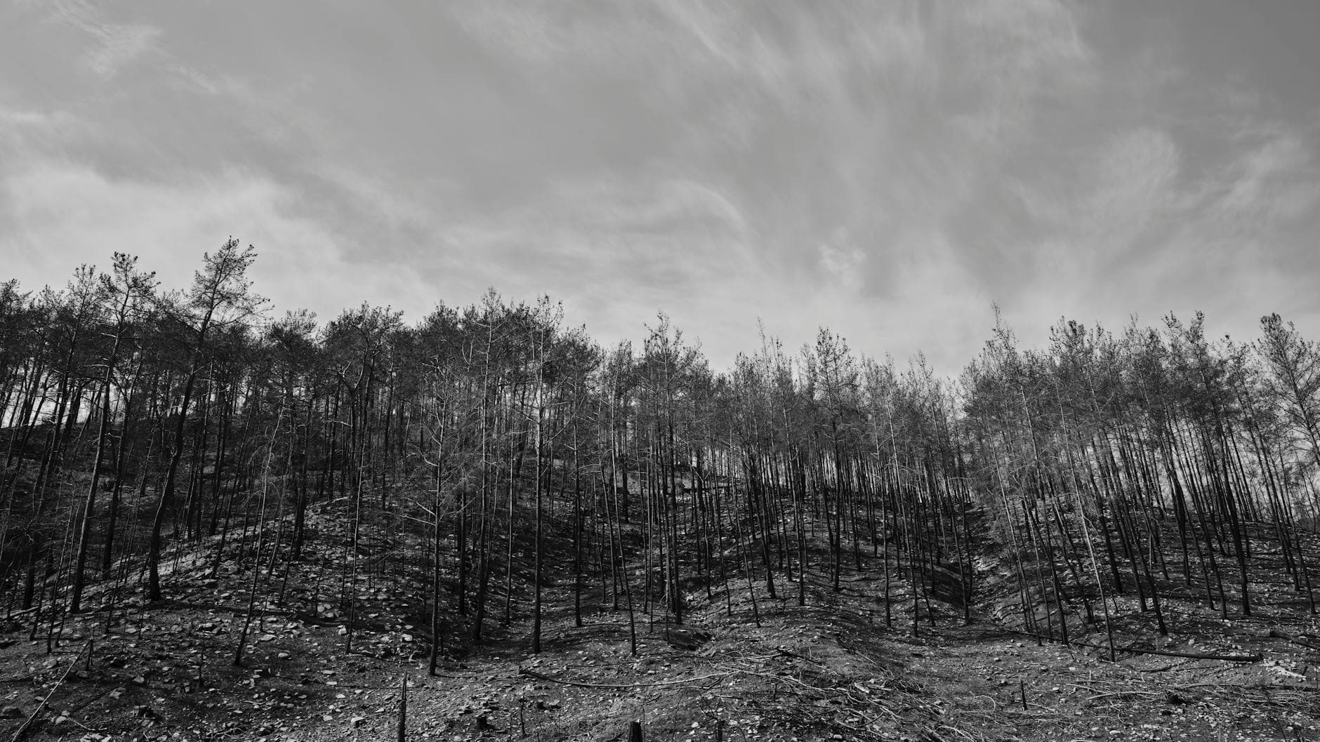
Coconino National Forest described the work as a broadcast burn, which means crews would spread fire across a broad treatment area rather than lighting isolated piles. The point was to cut hazardous fuels, lower the odds of a stand-replacing wildfire, and bring fire back into a landscape that is supposed to carry it. The Forest Service also said prescribed fire was part of its 10-year Wildfire Crisis Strategy, which is aimed at making forests more resilient and reducing the risk of high-intensity wildfire.
The immediate impact for travelers was smoke, not a formal closure notice. Forest officials said smoke would likely drift north and east, with possible impacts to Clints Well, Blue Ridge, Stoneman Lake, and even the Verde Valley depending on conditions. That meant the usual recreation problems: hazy highway stretches, weaker visibility at pullouts, and a less comfortable day on trails or at dispersed campsites if the plume settled in. The agency also made clear the schedule could be postponed or canceled if weather did not match the burn plan, so the situation could shift quickly as the ignition window opened.
For anyone trying to keep a spring loop on track, the practical move was to check conditions before leaving and be ready to change the timing rather than force it. The Forest Service said prescribed burn updates and smoke information were being pushed through news releases, radio, social media, and InciWeb, which was the fastest way to see whether the burn was still on or had been pushed back by wind or moisture.
The Upper Beaver Creek project had been evolving for years. A November 2023 Forest Service release put the original version at 3,000 acres about 13 miles northwest of Clints Well, and another update that year said managers adjusted the plan to clear the airshed and keep smoke away from large powerlines. A separate 2023 release described a 6,000-acre broadcast burn with no closures expected, and a 2025 update put the area at about 11,500 acres near Upper Beaver Creek. The footprint kept growing into a bigger landscape treatment, and that is why a planned burn still mattered to anyone trying to thread the Clints Well corridor this week.
This article was produced by Prism’s automated news system from verified source data, official records, and press releases, then run through automated quality and moderation checks before publishing. The system is built and supervised by the people who set the standards it runs under. Read our full AI policy.
Did this article answer your question?


