San Juan National Forest updates spring road access in Southwest Colorado
La Plata Canyon’s gate stayed seasonal, Monument Hill routes still carried flood limits, and South Mineral and Junction Creek had tighter camping rules for spring trips.

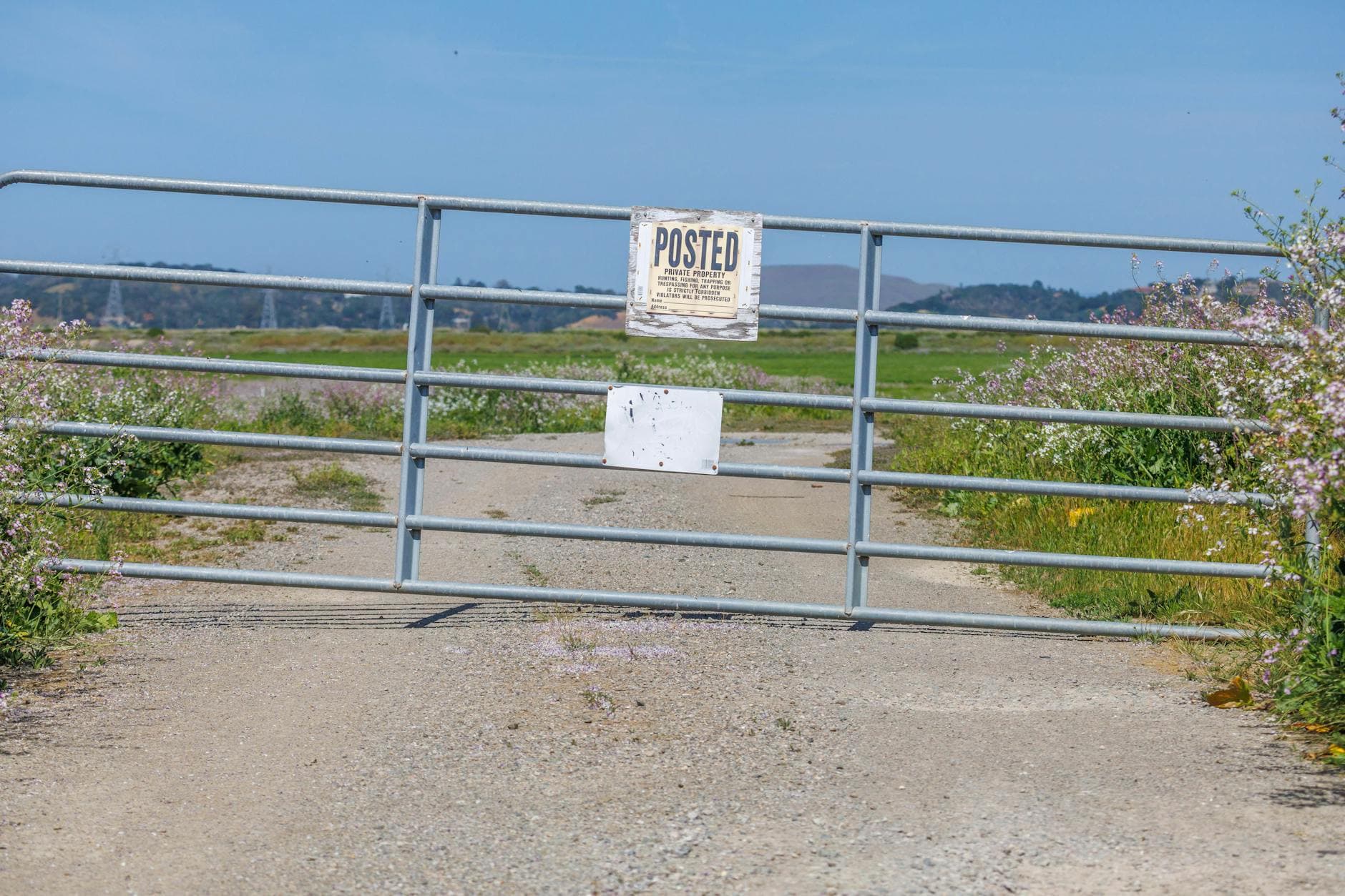
Southwest Colorado travelers heading for Memorial Day weekend got a blunt map of where they could still drive, where they could camp, and where a trailer or a hopeful guess would get them stuck. San Juan National Forest said its road-status tables were being updated as soon as ranger districts relayed new information, but it also warned that any road could still be blocked without notice by downed trees, snow, or weather damage. The Forest Service and counties do not rescue stranded vehicles, which made route choice as important as destination choice for anyone rolling into the high country in a truck, SUV, camper, or overlanding rig.
The Columbine Ranger District carried the heaviest share of that planning burden. It manages 691,310 acres in La Plata and San Juan counties, including about 323,625 acres of designated Wilderness and the Hermosa Roadless Area, so a single closure can reroute an entire weekend. La Plata Canyon Road, also known as CR 124, had its gates open, but La Plata County had installed a gate at the cattle guard each December through May. Winter travel was still allowed there for snowmobiles, skiers, fat-tire bikes, and snowshoers, but that seasonal gate signaled that motorized access remained on a schedule, not on wishful thinking.

Camping rules were just as specific. La Plata Canyon and South Mineral Creek allowed camping only in designated sites, and camping was not permitted along the first 8.5 miles of Junction Creek Road. The forest also barred motor vehicles from leaving South Mineral Road, FDR 585, or Clear Creek Road, FDR 815, to reach camping sites. That meant the usual dispersed-camping assumptions did not apply everywhere, and a lot of spur-road exploring had already been taken off the table.
Flood damage from October 2025 was still shaping spring travel, especially near Monument Hill. Some roads in that area remained trailer-limited, some were partially closed, and others had been reduced to one lane. San Juan National Forest said the damage assessment would continue into summer 2026, after severe flooding on Oct. 10-13, 2025 left multiple major roads washed out, damaged some vehicle bridges, and destroyed wilderness trail bridges on Vallecito Creek and West Fork trails that were not expected to be replaced until at least 2027.
For travelers trying to decide whether to bring bikes, a 4WD rig, or no trailer at all, the forest’s Motor Vehicle Use Maps remained the legal document for motorized travel. In a spring season still dealing with flood scars, those maps were the difference between a clean route into camp and a dead-end in the mud.
This article was produced by Prism’s automated news system from verified source data, official records, and press releases, then run through automated quality and moderation checks before publishing. The system is built and supervised by the people who set the standards it runs under. Read our full AI policy.
Did this article answer your question?


