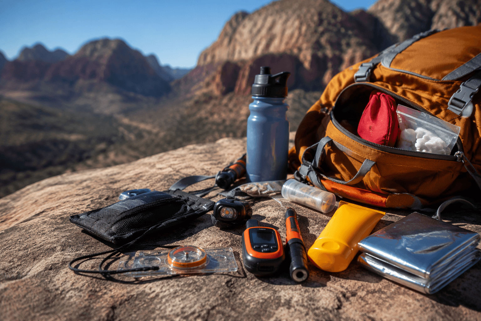
Four new wildfire starts trigger alerts across Colorado backcountry
Four new starts on July 26 sent Pike-San Isabel crews to fresh alerts, including Spring Creek Trail, Willow Fire, Aspen Acres and Road 8 closure notices.
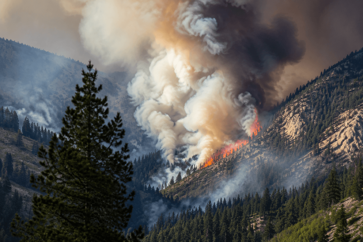
Fire crews with the Pike-San Isabel National Forests & Cimarron and Comanche National Grasslands reported response activity tied to four new wildfire starts on July 26, a development that put Colorado backcountry trips, dispersed camping and forest-road itineraries on alert. For anyone headed into high-country trailheads or scenic drive loops, the immediate question was not abstract fire danger but whether the route still opened cleanly, or had already picked up a closure, detour or smoke problem.
The forest’s fire information page and alerts hub were carrying incident updates, fire restrictions, occupancy and use restrictions, and area-closure notices. Among the named alerts were the Willow Fire Area Closure, the Aspen Acres Fire Area Closure and the Spring Creek Trail and Area Closure, all of which pointed to access changes that can hit hikers, mountain bikers, anglers and drivers far from reliable cell service.
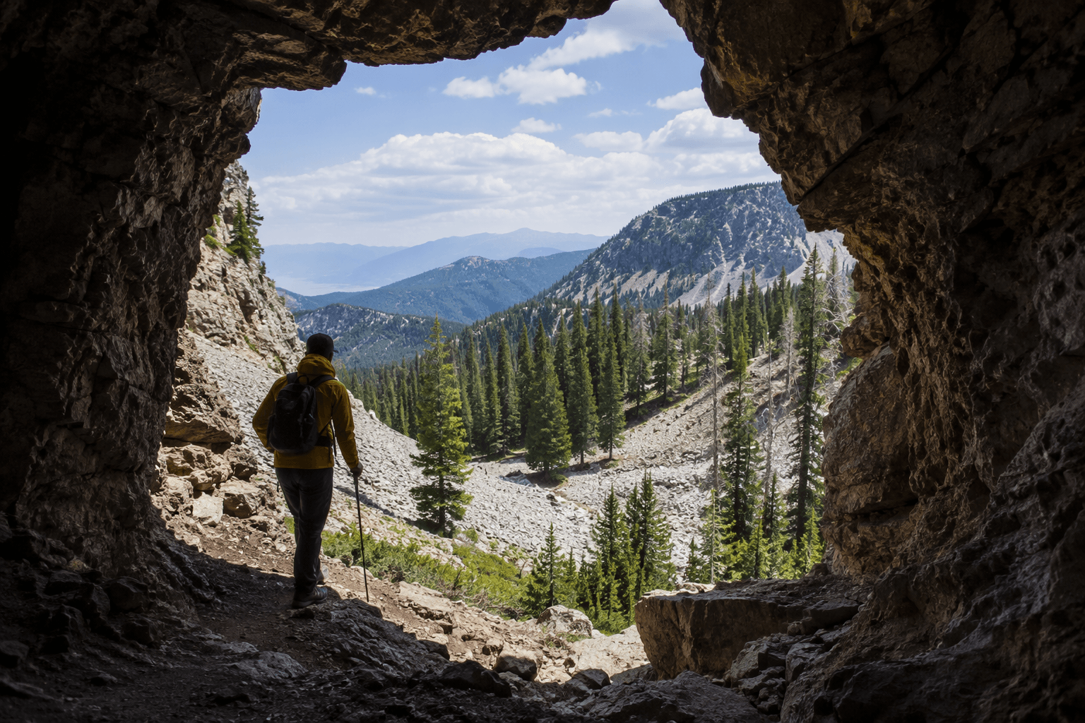
One of the clearest route markers was National Forest Service Road 8, which carried an alert start date of June 4, 2026 and an alert end date of July 31, 2026. That matters for any trip built around forest-road access, trailhead parking or a backcountry exit that depends on a single two-track or gravel connector. In a system already showing multiple closure pages, Road 8 was not just a line on a map but a live access constraint for travelers moving through the forest.
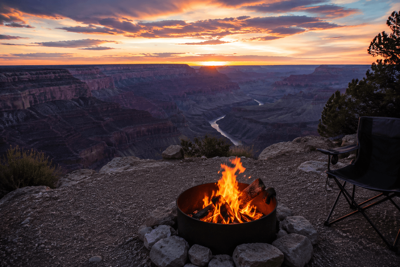
The forest also had posted Stage 2 fire restrictions, along with separate occupancy and use restriction pages for San Isabel National Forest and Pike National Forest. In practice, those notices can tighten campfire rules and other ignition sources just as visitors are settling into late-summer overnight plans. For people trying to salvage a weekend in the southern Colorado backcountry, that combination of new starts, closure pages and restriction notices was the kind of signal that can turn a simple dispersed-camp plan into a stop-and-check-the-map decision.
The short July 26 update did not need a long explanation to land its point. Four new starts, multiple closure pages and a running Road 8 restriction were enough to show how quickly a trailhead departure, a scenic-drive loop or a remote campsite can change before the truck even leaves pavement.
This article was produced by Prism’s automated news system from verified source data, official records, and press releases, then run through automated quality and moderation checks before publishing. The system is built and supervised by the people who set the standards it runs under. Read our full AI policy.
Did this article answer your question?