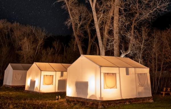
Moab hiking guide highlights pet-friendly BLM trails beyond the national parks
Moab’s BLM trails offer pet-friendly backups to Arches and Canyonlands, with shorter hikes, lighter crowds, and more flexible plans.
Why this guide matters
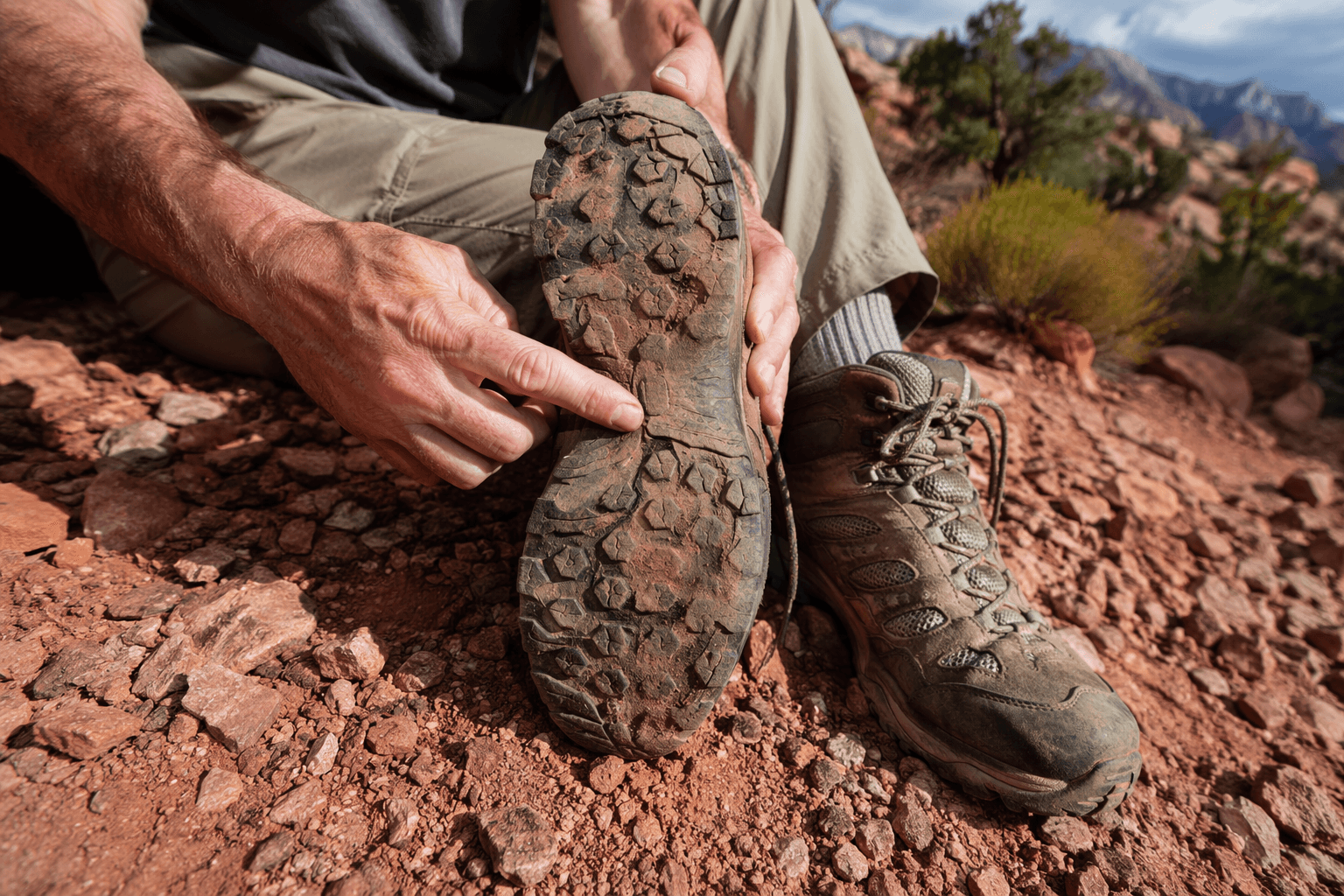
Moab’s best-known hikes can be hard to pull off when park trailheads are crowded, permits are spoken for, or you simply do not have a full national-park day to spare. Discover Moab’s hiking guide answers that problem by steering visitors toward Bureau of Land Management land outside Arches National Park and Canyonlands National Park, where most of the listed routes are pet friendly and easier to fit into a flexible itinerary.
That flexibility matters more every year. The National Park Service reported 323 million recreation visits systemwide in calendar year 2025, a reminder of how heavily used public lands remain across the country. In Moab, that pressure shows up quickly at the marquee trailheads, which is exactly why a guide built around BLM alternatives has real trip-planning value.
A better fit for dogs, backup plans and shorter days
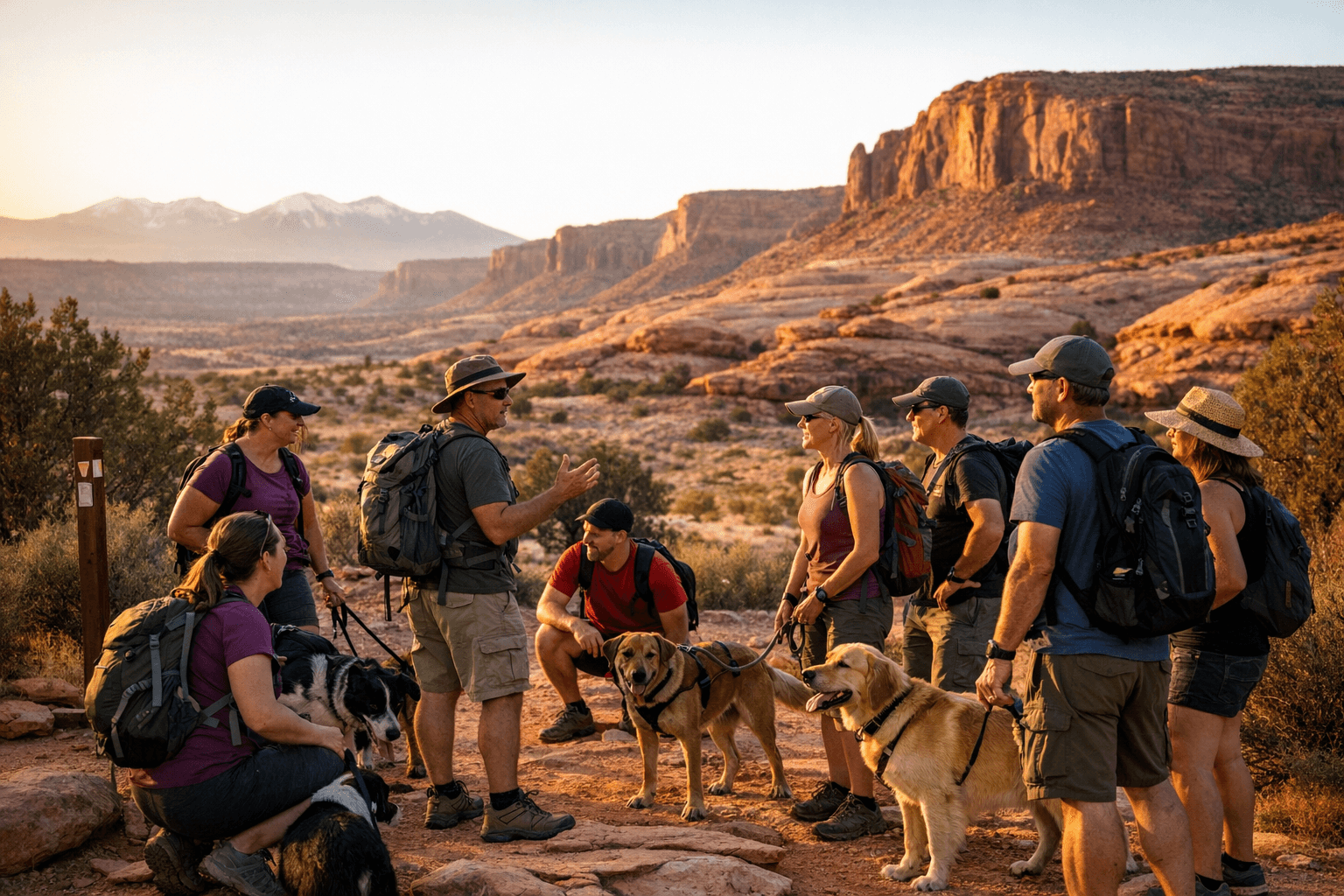
The biggest practical advantage here is access. Discover Moab’s pet-information page makes the split clear: pets are prohibited on trails inside the southern Utah national parks, but they are allowed on many surrounding public-land recreation areas. For travelers with dogs, that turns the BLM network from a nice option into the main event.
The guide also works well for mixed groups and changing conditions. If heat climbs, parking disappears, or a route feels too ambitious, these trails offer a way to stay outdoors without committing to the long lines, reservation pressure, or all-day logistics that often come with the parks. It reads less like a single prescribed outing and more like a compact menu of Moab day hikes that can be matched to time, skill, and comfort with route-finding.
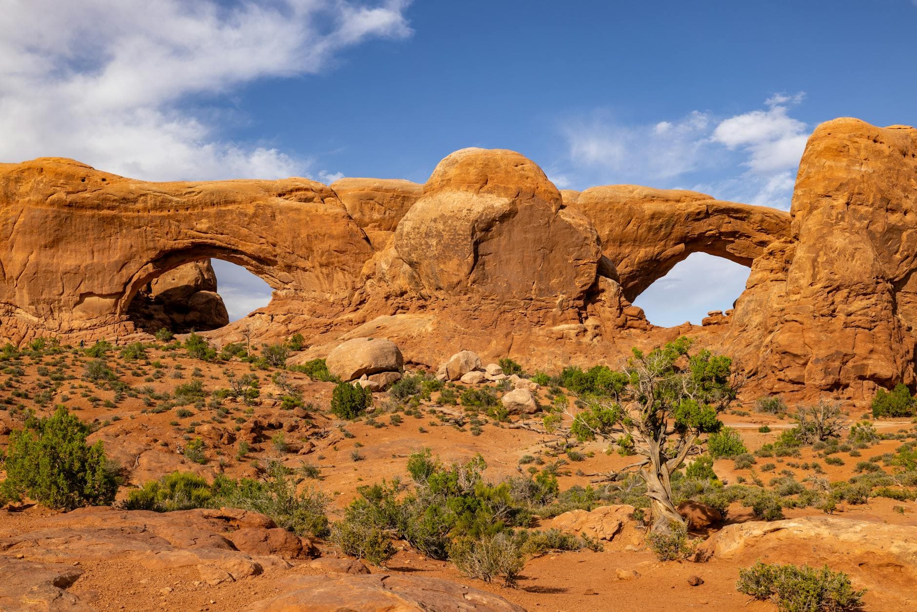
Corona Arch sets the tone
Corona Arch is one of the standout short hikes in the Moab area, and it earns that status fast. The Bureau of Land Management designated the trail a National Recreation Trail on May 30, 2018, and describes it as a moderately strenuous 3-mile round trip with sections of mild exposure that are aided by cables and ladders.
That mix is part of what makes the hike such a useful benchmark for visitors. You get the huge sandstone opening, Bow Tie Arch, and broad views of the Colorado River corridor without needing a full park-day commitment. It is the kind of trail that feels iconic enough to justify a spot on any Moab itinerary, yet still practical when the national parks are too crowded or too structured for the day you have.
Dellenbaugh Tunnel brings a quieter road-side option
Dellenbaugh Tunnel offers a different kind of BLM experience: still scenic, still red-rock country, but with a quieter feel and a route that is easy to place geographically. The Bureau of Land Management says the trail is 3 miles long and sits just outside Moab on the road to Dead Horse Point and the Island in the Sky District.
The payoff is an elongated arch above Spring Canyon, which gives the hike a clear destination and a sense of place. For travelers trying to keep driving time short while still getting out of the car for a real walk, this is exactly the sort of trail that makes the Moab area more flexible than a park-only plan.
Fisher Towers and the classic Moab views
The guide also points readers toward the Fisher Towers area, where the scenery expands into some of the region’s most recognizable views. From there, hikers can take in the Colorado River, Castle Valley and the Book Cliffs, which gives this part of the map a broader, more cinematic feel than a simple out-and-back to a single landmark.
That matters because not every day hike has to be built around a single arch or bridge. In Moab, sometimes the stronger choice is the one that delivers a full landscape sweep, especially when you want a route that feels immersive without being tied to the conditions and constraints of the national parks.
Grandstaff Canyon is the bridge hike with a long payoff
Grandstaff Canyon is one of the most useful alternatives in the entire guide, especially for visitors who want a memorable destination but not necessarily a punishing climb. The Bureau of Land Management says the Grandstaff Canyon Trail was selected as a National Recreation Trail on October 22, 2020, and that it is 2 miles to Morning Glory Bridge with about 4 hours round trip.
That bridge is worth the time. Morning Glory Natural Bridge spans 243 feet and is described as the sixth-longest natural rock span in the United States, which gives the hike immediate bragging rights and a strong share hook for anyone comparing Moab options. The route itself runs through a stream corridor, and the BLM notes that a well-maintained trail leaves from the parking area and traces 2.2 miles to the bridge, making it one of the clearest examples of a scenic day hike that still feels manageable for many visitors.
Moab Rim, Moab Valley and Sand Flats widen the menu
One of the smartest parts of the guide is that it does not stop with the headline hikes. It also references routes around the Moab Rim, the Moab Valley and the Sand Flats Recreation Area, showing that Moab’s day-hike network ranges from family-friendly strolls to more rugged routes over slickrock, benches and wash bottoms.
That range is what turns the guide into a decision tool rather than a list. If you want something short and accessible, the valley and lower-elevation options help. If you want a more strenuous red-rock outing, the slickrock and bench routes give you a very different feel from the standard national-park trail experience, without losing the scenery that brings people to Moab in the first place.
Where to start when you need local help
The Moab Information Center is a major on-the-ground resource for sorting through those choices. The Bureau of Land Management describes it as a regional interagency visitor center, and it sits at 25 East Center Street in Moab, Utah.
That location matters because it gives travelers a real planning base before heading toward BLM trailheads, park entrances or the road to Dead Horse Point and the Island in the Sky District. With trip-planning help, maps, guidebooks and free wi-fi, the center helps visitors make faster decisions about which hike fits the day, which one works for a dog, and which one stays realistic if crowds, heat or time limits push a park plan off the table.
The smarter Moab alternative
Taken together, Discover Moab’s hiking guide makes a strong case for looking beyond Arches and Canyonlands when you want scenery without the full national-park hassle. The BLM routes around Moab still deliver the sandstone arches, river-corridor views, canyon walks and dramatic overlooks people come for, but they do it with more room to breathe and more room to adjust.
For travelers who need a dog-friendly option, a shorter outing or a backup plan that still feels like a real Moab day, these trails are not second-best. They are the practical version of the same red-rock country, and in a place as busy as Moab, that can make all the difference.
This article was produced by Prism’s automated news system from verified source data, official records, and press releases, then run through automated quality and moderation checks before publishing. The system is built and supervised by the people who set the standards it runs under. Read our full AI policy.
Know something we missed? Have a correction or additional information?
Submit a Tip