Utah's Record March Heatwave Threatens to End Winter Adventure Season Early
Utah temps are forecast 25-30°F above normal this week, threatening to wipe out what little snowpack remains and end backcountry season months early.
A massive high-pressure ridge centered directly over Utah and the Great Basin is driving what forecasters are calling an exceptionally anomalous, likely record-shattering March heatwave across the U.S. Southwest, with temperatures running 25-30°F above normal and two distinct heat waves arriving over the next 7-10 days.
Weatherwest describes the setup in blunt terms: "The Southwest will experience what is effectively the opposite of a 'March Miracle' — that is, a period of near-zero precipitation and exceptionally warm temperatures leading to rapid loss of mountain snowpack in a year when said snowpack was already in very poor shape." Geopotential height anomaly maps show what Weatherwest characterizes as "a remarkable, huge, and very intense ridge" sprawling across the entire western United States, with its core sitting over Utah and the Great Basin.
The snowpack situation heading into this event is already grim. After brief, modest stabilization in February and early March in pockets of the West, including the central and southern Sierra and parts of the upper Colorado watershed, snowpack water content had already begun declining again during what is typically a period of peak accumulation. Weatherwest notes that the coming heat "will bring t-shirt and shorts weather even into the higher mountains of the American West" and that snowmelt will accelerate dramatically across the region.
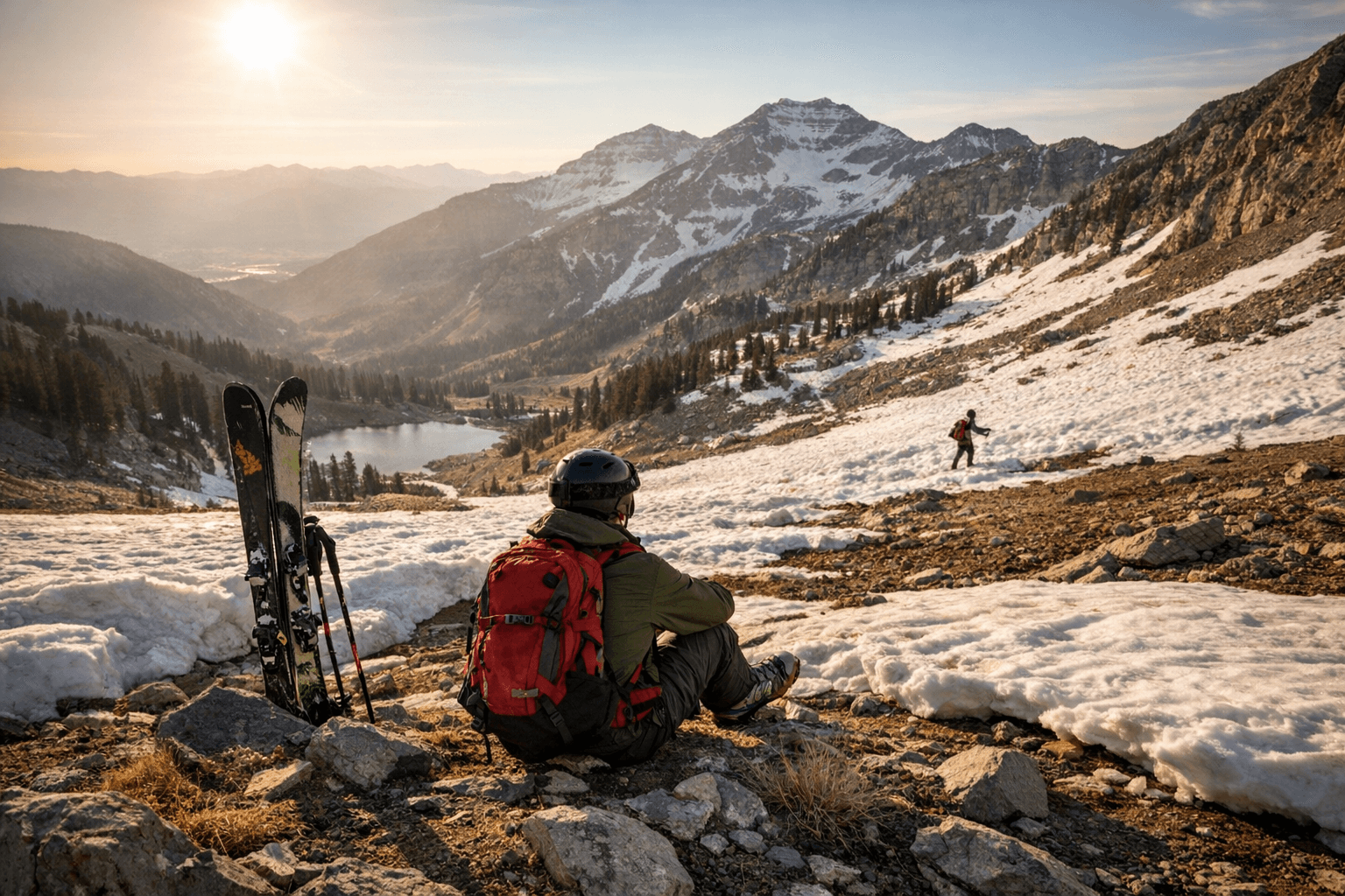
For anyone who had late-season backcountry skiing, snowshoeing, or high-elevation hiking on the calendar, this forecast is essentially a closing bell. A Washington Post meteorologist flagged the heat as "unprecedented March heat across the West," warning it could accelerate snowmelt in ways that cut those trips short. The 25-30°F above-normal anomaly is not a nudge — that is a full seasonal dislocation arriving weeks before summer is supposed to show up.
Weatherwest's author put the scale of the concern plainly: "it does make me a bit circumspect regarding what this kind of heat event would look like in the Southwest were it instead occurring in May or June." The fact that it is arriving in March, when snowpack should still be building, only compounds the damage to a water year that was already running a deficit.
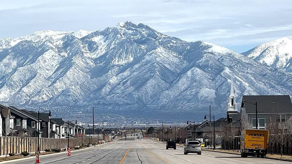
If you have a late-season powder objective in the Wasatch, the San Juans, or anywhere across the Colorado watershed, the window to act is now, not next weekend. After this ridge settles in and the second heat wave follows, what remains of winter in the Southwest will go fast.
This article was produced by Prism’s automated news system from verified source data, official records, and press releases, then run through automated quality and moderation checks before publishing. The system is built and supervised by the people who set the standards it runs under. Read our full AI policy.
Did this article answer your question?


