Allendale County historic sites map reveals churches, cemeteries and schools
Allendale County’s map runs from 16,000-year-old settlement sites to churchyards on River Road and Bluff Rd., turning rural roads into a low-cost heritage loop.
The Allendale County Courthouse at 292 Barnwell Hwy. sits on a historic sites map that runs through churchyards, cemeteries, schoolhouses and roadside landmarks across the county. It works as a countywide heritage loop instead of a stop only in Allendale. The story spreads well beyond the county seat, onto roads where families lived, worshiped and buried their dead.
Why the countywide map matters
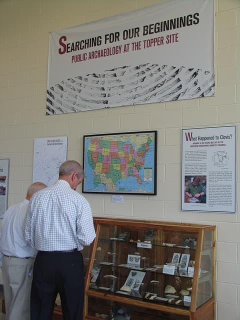
Allendale County is South Carolina’s youngest county, formed in 1919, but its ground holds evidence of much older lives. Archaeological investigations found settlement dating back more than 16,000 years, and the Allendale Chert Quarries Archeological District helps show that the county’s story begins long before its political boundaries existed.
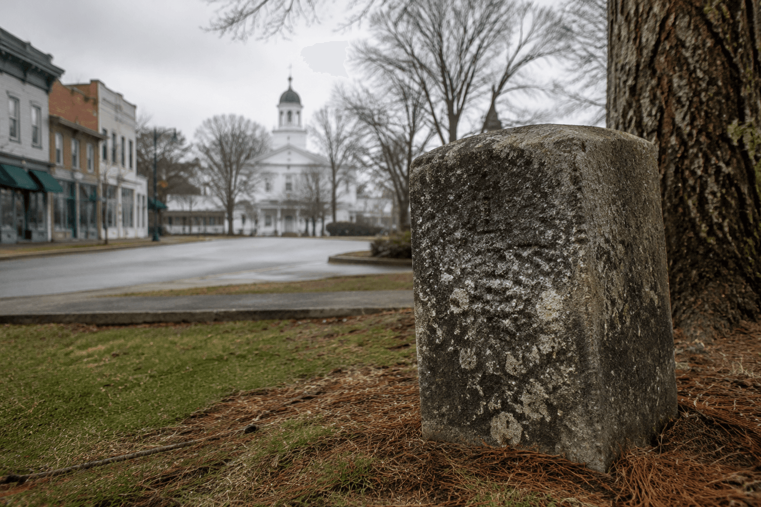
The county’s historic sites page lists about 50 historical sites under its Visitors heading, making that range easy to see. It is not built around one grand monument or one preserved street. Instead, it points to places that explain how the county grew in small steps, through settlement corridors, church congregations, family burial grounds and local roads that linked farm neighborhoods together.
Start in Allendale, then fan out on the roads
The practical way to read the map is to begin in Allendale, where the courthouse anchors the county seat. The Allendale County Courthouse is among the county’s National Register sites, along with Antioch Christian Church, Smyrna Baptist Church, Gravel Hill Plantation and the Williams Home Place near Ulmer.
From there, the road network becomes the guide. River Road and the adjoining routes carry some of the clearest evidence of how communities took root outside town limits. Cave Methodist Church and Cemetery, Trinity Methodist Church Cemetery on River Road, and Concord Baptist Church and Cemetery on Hwy. 3 in the River Road corridor all mark stretches where worship, burial and family continuity were closely tied to the same ground.
That pattern repeats in the smaller named church properties that appear on the county page. Beech Branch Baptist Church, Gailee Baptist Church, Kirkland Church, also identified as Smyrna Baptist Church, and Allendale Presbyterian Church are not random dots. They mark the settled pockets where denominational traditions took hold and where rural roads gave people regular paths to services, funerals and community gatherings.
What the cemetery stops reveal
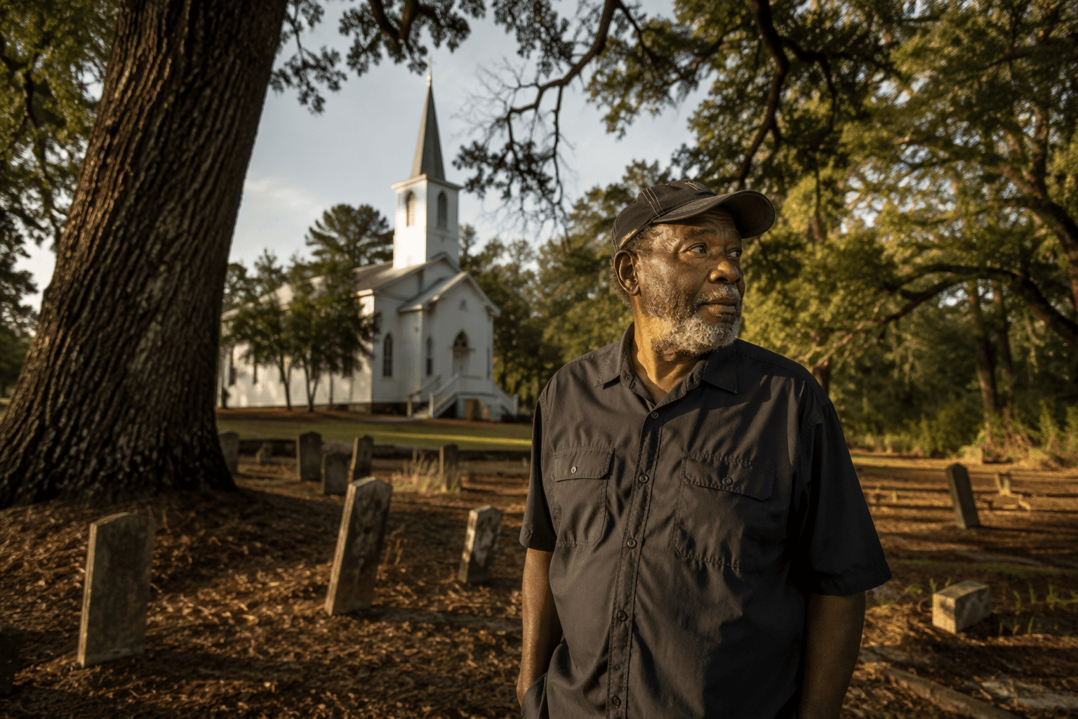
The cemetery sites are especially useful because they preserve details that a road sign cannot. Antioch Christian Church’s National Register nomination places the church in rural Allendale County and includes a graveyard where many of Allendale’s old families are buried. Smyrna Baptist Church’s nomination says the church was organized in the early 1800s and served the Allendale area throughout its history.
They hold family names across generations, show where older settlement patterns concentrated, and preserve the religious history that shaped everyday life. In 2020, Allendale County had a population of 8,039.
Swallow Savannah Cemetery on Bluff Rd. is another place where the map turns genealogy into geography. Swallow Savannah United Methodist Church on Walnut Street adds a later layer of local religious life, while Mt. Pleasant Primitive Baptist Church Cemetery on Hwy. 321 North pushes the route toward another corridor of rural settlement.
A route that shows how the county grew
A useful self-guided loop can move in a broad arc rather than a straight line. Start in Allendale, look toward the courthouse and the county’s civic center, then follow the older church corridors out along River Road toward Cave Methodist, Trinity Methodist and Concord Baptist. Turn toward Bluff Rd. for Swallow Savannah Cemetery, then continue to Walnut Street and Hwy. 321 North to see how church life and burial grounds spread across the county’s farm neighborhoods.
A low-cost drive like this keeps visitors on county roads and in and around Allendale long enough to stop for fuel, a meal or supplies. In a county with few formal attractions open to the public, a church-and-cemetery loop can create the kind of weekend traffic that helps small businesses without requiring a ticketed site or a large museum complex.
What to know before you go
Most listed properties are privately owned and are not open to the public. The best approach is to use public roads, view sites from the right-of-way when appropriate, and treat cemetery grounds and church lots as active community places, not open-air exhibits.
The county’s broader marker network adds another layer. Historical Marker Database search results show at least 18 historical marker entries in Allendale County, which means the roadside story extends well beyond the National Register list.
This article was produced by Prism’s automated news system from verified source data, official records, and press releases, then run through automated quality and moderation checks before publishing. The system is built and supervised by the people who set the standards it runs under. Read our full AI policy.
Did this article answer your question?