Sycamore crossroads reveal Allendale County’s Civil War-era history
Sycamore’s crossroads still carry Allendale County’s Civil War memory, tying today’s traffic to a plantation burned in Sherman’s march.
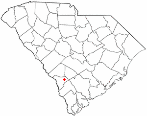
At the junction of U.S. Highway 321 and South Carolina Highway 641, Sycamore is more than a place people pass on the way to somewhere else. The small town east of Allendale sits on a stretch of road where travel, land history, and wartime memory overlap, and that overlap still shapes how the community is understood inside Allendale County. Its name reaches back to a plantation, its road network reflects decades of highway changes, and its wartime past remains tied to one of the county’s clearest Civil War-era markers.
A crossroads that still defines the town
Sycamore’s location gives it a practical role that never quite disappears, even as the town stays small. Being east of the Town of Allendale at the junction of two major routes makes it a reference point for local drivers, farm traffic, and anyone moving between the county seat and the eastern side of the county. In a county where communities are spread out and population is thin, that kind of junction matters because it helps define where people are coming from and where they are headed.
That geography also helps explain why Sycamore keeps showing up in conversations about county identity. It is not just a name on a sign; it is a place attached to movement, to memory, and to the older landscape of rural South Carolina. For residents who know the county by roads, churches, and old family place-names, Sycamore is one of those spots that locates both the present and the past in the same frame.
From plantation name to chartered town
The town takes its name from Sycamore Plantation, established in the 1850s by William Ransome Barker. Barker, who lived from 1816 to 1869, moved into the area in the 1850s and built a cotton plantation that covered roughly 2,000 to 3,000 acres. The plantation name came from the sycamore trees growing there, a detail that ties the place directly to the land it occupied.
That plantation eventually gave the town its identity. Sycamore was chartered in 1891, after the plantation name had already taken hold in local memory and usage. That sequence matters: the town did not invent the name, it inherited it from the estate that had dominated the area earlier in the century. The result is a community whose legal identity, road location, and historical memory are all linked to the same tract of ground.
The Civil War episode behind the name
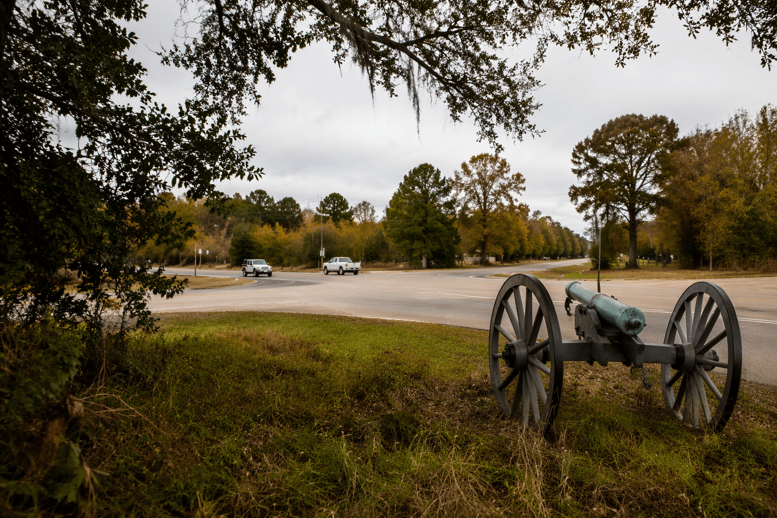
The deeper historical weight comes from what happened there during the Civil War. The plantation was used by Sherman’s troops, and when they left, the house was burned. Local markers and heritage listings connect that destruction to the skirmish known as Barker’s Mill, or the Skirmish at Barker’s Mill, giving Sycamore a direct tie to the campaign that cut across this part of South Carolina on the way to Columbia.
The fighting at Barker’s Mill took place on February 2, 1865. At the bridge over Jackson Branch, units of General F. P. Blair’s XVII Corps clashed with Confederate cavalry as Sherman’s force advanced toward Columbia. That detail turns Sycamore from a simple crossroads into a site that sits inside the military geography of the war, not just its aftermath. In the Barnwell District country of that moment, roads, bridges, and river crossings carried strategic value, and Jackson Branch was one of those places where the war briefly sharpened into a local confrontation.
That wartime connection is part of why Sycamore’s history still resonates. The plantation was not only used and then burned; it became a memory site for destruction, movement, and the reshaping of rural land after the fighting. In that sense, the town’s historical identity is tied to both loss and persistence, a pattern that shows up repeatedly in South Carolina’s older inland communities.
How the roads kept Sycamore relevant
The road history helps explain why the town still matters on the map. South Carolina Highway 641 was established around 1932, extended west to Sycamore by 1938, and straightened in 1942. By 1948, it had been extended to Allendale, and later changes shifted portions of the route again. Those adjustments show that Sycamore’s crossroads status is not accidental, but part of a longer pattern of state highway development.
That route history also places Sycamore within a larger travel corridor. SC 641 historically provided access toward Rivers Bridge and linked Allendale more directly to Charleston through other connections, which meant the road system around Sycamore served more than local errands. It helped bind the eastern and western parts of the county to wider routes of travel, commerce, and memory. Even now, the intersection remains a reminder that small roads can carry large amounts of history.
A small place in a very small county
Sycamore’s scale is part of what gives its history so much weight. One recent estimate puts the town’s population at 135 in 2026, down from 151 in the 2020 census. Census Reporter’s profile shows an even smaller ACS-based figure of 68 residents and an area of about 3.2 square miles, underscoring how little ground and how few households are involved in the town’s public life.
That scale matters because Allendale County itself is already South Carolina’s least populous county, with 8,039 residents counted in the 2020 census. In a county that small, places like Sycamore carry outsized importance as markers of geography and memory. A single intersection, a plantation name, and a battlefield crossing can define how the county reads to outsiders and how locals understand the ground beneath them.
Sycamore’s story is ultimately about how rural places endure through layers of use. The land became a plantation, the plantation became a town name, the road system made the crossroads more important, and the Civil War left a mark that still frames how the community is remembered. In Allendale County, that combination of movement and memory is not a side note. It is part of the county’s map.
This article was produced by Prism’s automated news system from verified source data, official records, and press releases, then run through automated quality and moderation checks before publishing. The system is built and supervised by the people who set the standards it runs under. Read our full AI policy.
Did this article answer your question?