Planned pile burns near Springerville, Pinedale target wildfire fuels
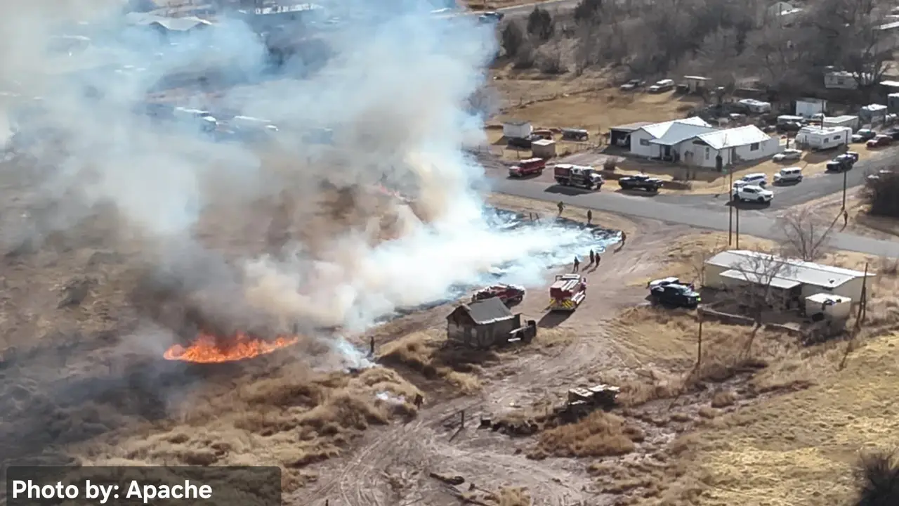
Planned pile burns near Springerville and Pinedale were set to send smoke across nearby forest land while crews worked to cut future wildfire risk.
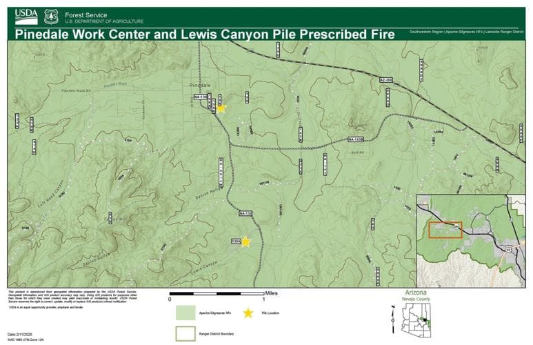
The U.S. Forest Service planned pile-burn work near Springerville and Pinedale on the Apache-Sitgreaves National Forests, with prescribed fire operations on the Springerville Ranger District set to begin as early as Saturday, March 28, pending required approvals. The work could bring smoke, visible flames and short-term access changes for people living, ranching and recreating along the forest edge in Apache County.
A related notice tied the burning to the Pinedale Work Center and Lewis Canyon, while another Apache-Sitgreaves release said prescribed fire operations on the Lakeside Ranger District were planned beginning as early as February 17, also pending required approvals. Together, the notices showed a broader push across eastern Arizona rather than a single isolated burn site.
Pile burns are used to get rid of woody debris collected into piles during thinning and cleanup work. On the Apache-Sitgreaves National Forests, that kind of hazardous-fuels reduction is meant to leave less material on the ground that could feed a later wildfire, especially in dry forest country where fire can move quickly through grass, brush and timber.
That work was already well underway. A Forest Service Facebook post said crews had completed 8,765 acres of hazardous fuels reduction across the forest over the previous few weeks. For Springerville, Pinedale and surrounding parts of Apache County, that means the smoke seen in the sky is likely to come from planned management rather than a new wildfire, although wind and weather can still push smoke into nearby communities and cut visibility on forest roads and trails.
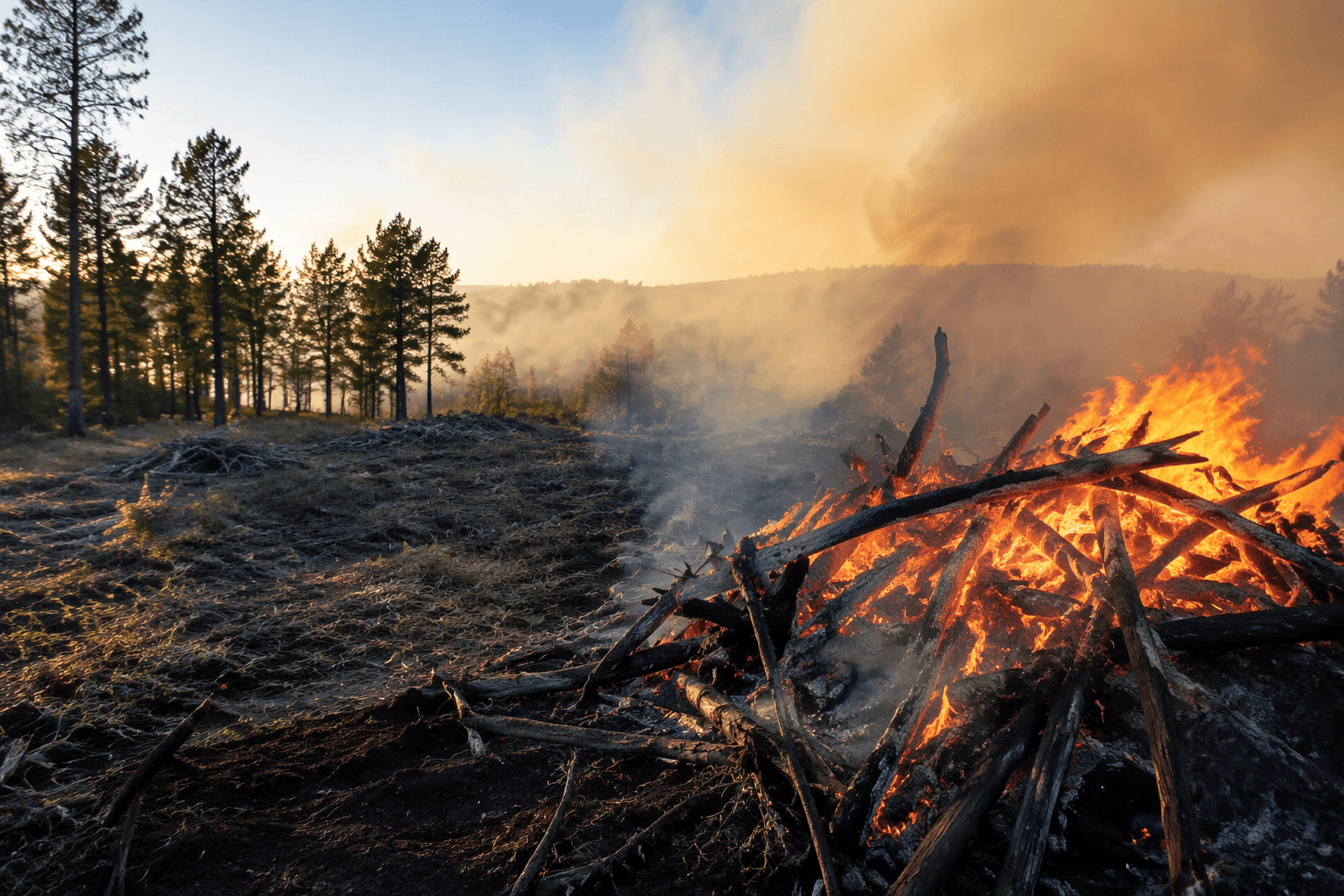
The impacts reach beyond scenery. Prescribed burns can affect recreation plans, hunting access and local air quality, and they can force temporary changes in how people move through nearby forest land. In a county where ranching, tourism and everyday travel all run close to public land, advance burn notices give residents a chance to sort out whether the smoke column they see is part of a controlled operation or something that needs a faster response.
The Apache-Sitgreaves has treated fire as a long-term land-management issue for years. A 2014 San Juan Fire lessons-learned report on the forest examined how fuel treatments performed during that blaze, underscoring why managers continue to burn piles and thin fuels before the next big fire season arrives.
This article was produced by Prism’s automated news system from verified source data, official records, and press releases, then run through automated quality and moderation checks before publishing. The system is built and supervised by the people who set the standards it runs under. Read our full AI policy.
Did this article answer your question?