County considers buying 2,000 acres of Kapoho coastal land for preservation
County eyed nearly 2,000 acres at Kumukahi, where public access now runs through private land and a rough 4-wheel-drive route.

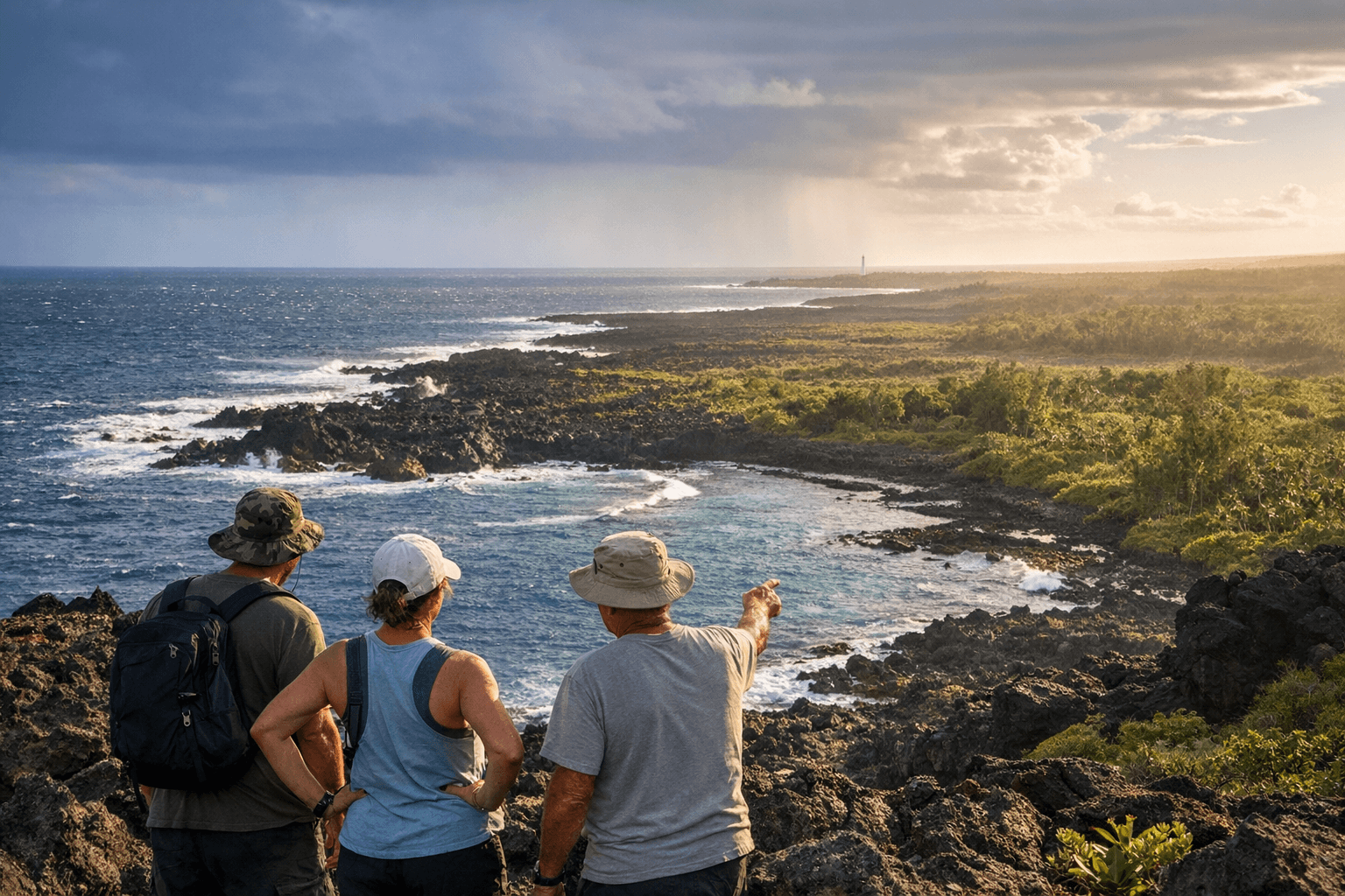
A county land deal in Kapoho could put nearly 2,000 acres of rugged shoreline into public hands, opening one of East Hawaii Island’s most sensitive coastlines for preservation, access and cultural protection while adding new long-term stewardship costs for taxpayers.
Resolution 516-26 would authorize the County of Hawaii finance director to negotiate for land or conservation easements covering 13 tax map keys tied to Kumukahi in Lower Puna. The acreage sits in the ahupuaa of Kula and county records describe it as a wahi pana, wahi kupuna and leina, a landscape tied to burial sites, heiau and Hawaiian spiritual transition. The proposal, introduced by Council Member Ashley L. Kierkiewicz on March 25 and heard by the Legislative Approvals and Acquisitions Committee on April 21, does not set a purchase price. It would instead open the door to negotiations with seven landowners using the Public Access, Open Space and Natural Resources Preservation Fund.
That fund is meant for public outdoor recreation and education, protection of natural resources, preservation of forests, beaches and coastal areas, and safeguarding historic or culturally important places. County policy also favors purchases where local dollars can attract outside money, which means any final deal could hinge on matching funds and the ability to keep the county’s share manageable. That matters in a budget squeezed by other recovery obligations in Lower Puna, including roughly $50 million in combined Highway 137 and Pohoiki Road work, plus the separate Pohoiki boat ramp restoration effort.
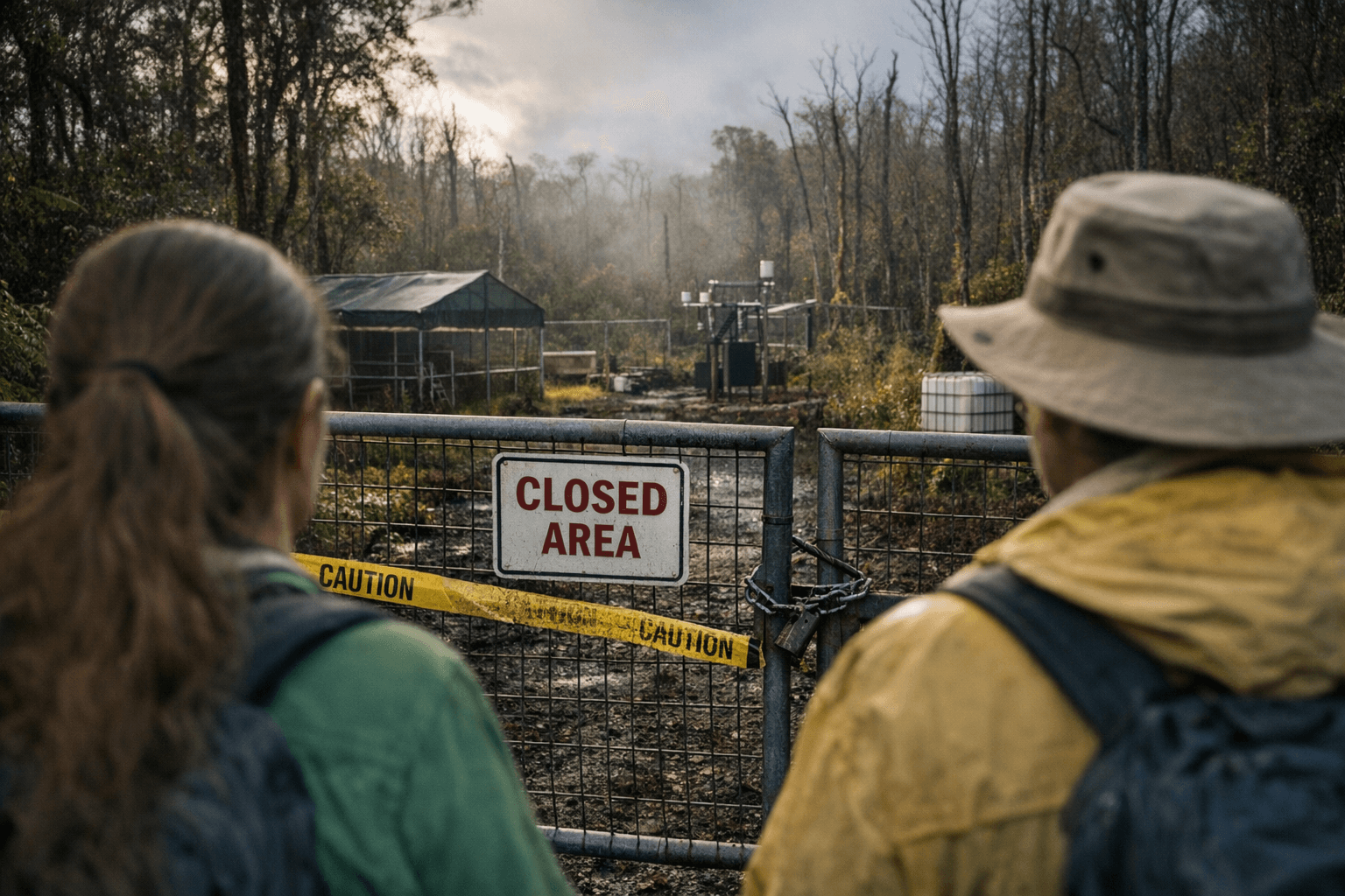
Kumukahi has become a priority because access remains fragile and unmanaged. The PONC commission’s 2025 report said visitors currently reach the area by crossing private property east of the new Highway 137 construction, and no public vehicular access exists now, though a rough four-wheel-drive route across the lava flow is being used. County materials say the reconstructed 0.15-mile section from Four Corners toward the unaffected portion of Highway 132 is scheduled to reopen by December 2026, a change that could increase pressure on the shoreline if the land remains unsecured.
The county is also weighing the site against its cultural and disaster-recovery history. The 2018 Kīlauea eruption began in Leilani Estates on May 3, 2018, produced about 1 cubic kilometer of lava, and was the largest lower East Rift Zone eruption and caldera collapse in at least 200 years. It destroyed Kapoho Vacationland, Lanipuna Gardens, Kapoho Beach Lots, Kapoho Bay, the tidepools and Ahalanui Warm Ponds, while also filling in Pohoiki Bay and closing Puna’s only boat ramp for fishermen.
Support for preservation is not new. The council adopted Resolution 330-23 in 2023 urging protection of iwi kūpuna at Kumukahi, after testimony described looting of ancestral remains, off-road damage, trash and heavy shoreline traffic. If the county buys the land, the payoff would be broad: shoreline access, cultural stewardship and ecosystem protection. The cost, though, would extend beyond the purchase itself to fencing, access management and long-term care of a coastline still shaped by eruption, erosion and public demand.
Sources:
Know something we missed? Have a correction or additional information?
Submit a Tip