County land-use battle erupts over Hawaii Island General Plan 2045
A 5-4 committee vote advanced Hawaii Island’s 2045 General Plan, but the real fight is over how tightly the county will steer growth, farms and housing.
The next County Council vote will decide whether Hawaii Island locks in a detailed 2045 growth map or settles for a thinner framework that leaves more to later interpretation. Bill 66, the ordinance to adopt the Hawaii County General Plan 2045 and repeal the current plan, cleared the Policy Committee on Planning, Land Use and Economic Development on a 5-4 vote, with James Hustace, Holeka Goro Inaba, Dennis “Fresh” Onishi and Ashley Kierkiewicz voting no.
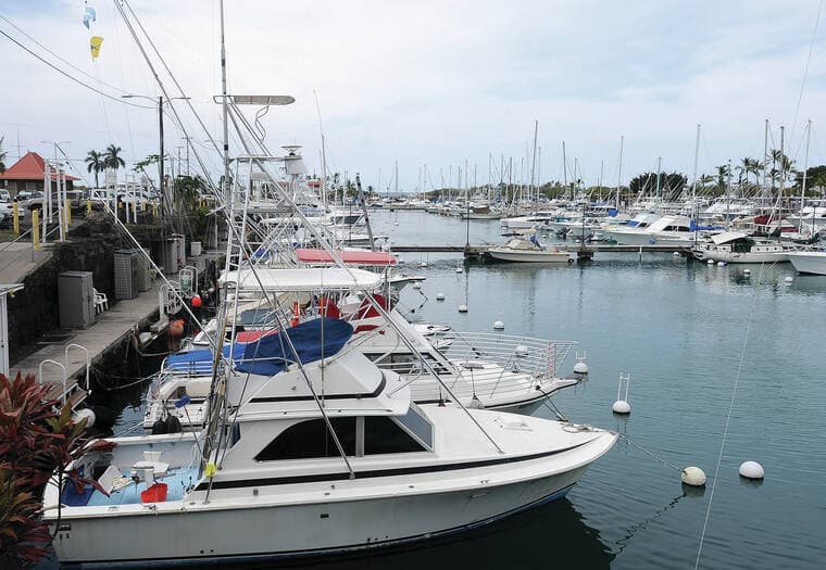
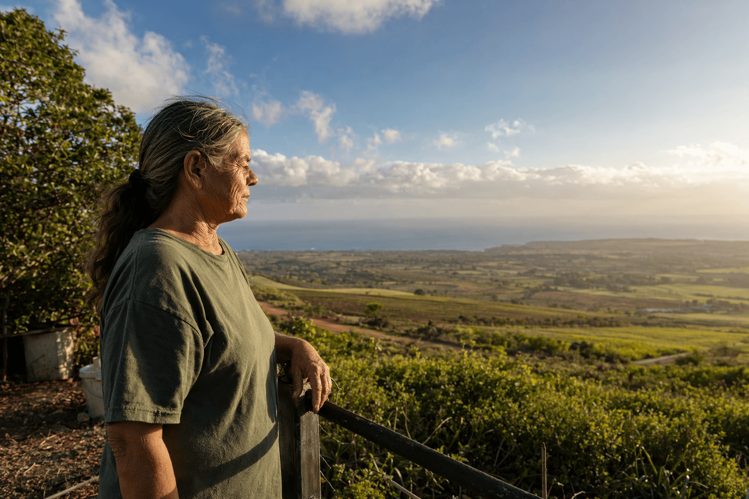
The split goes to the heart of what the county uses a general plan for. County planning materials describe it as the islandwide blueprint for long-term development, one that guides land use, zoning amendments, capital expenditures, infrastructure, environmental protection and community development. Under the 2045 draft, the county is not just sketching broad goals. It is setting targets, including net-zero carbon emissions by 2045, a 100 percent renewable-powered county fleet by 2035 and a 50 percent increase in mass transit ridership by 2045. It also pushes growth into urban areas to protect rural and agricultural land, a direction that would favor denser development in places already served by roads and utilities while putting more pressure on large rural and farm parcels to remain undeveloped.

Kierkiewicz’s competing 71-page “2026 Plan” kept the same basic intent but stripped away much of that detail. In her view, the shorter version would make the county’s policy easier to use and act on. Opponents, including Planning Director Jeff Darrow and former Planning Director Chris Yuen, have argued that the rewrite removes too much of the county’s long-range framework and disregards years of public input. The practical difference is clear: the fuller 2045 draft gives planners more explicit guardrails on housing, transportation and agricultural land, while the slimmer version would leave more room for future councils, staff and permit applicants to argue over what the county really meant.
The 2045 update has been more than 10 years in the making. County planning pages say community outreach began in 2015, and the final draft was released as Draft 2 in July 2025. Public-review materials were shaped by more than 100 community meetings and about 8,600 public comments, a volume that shows how deeply the issue cuts across the island. The current general plan dates to 2005, when it replaced the 1989 plan.
Monday’s committee fight followed an April 8 postponement after roughly two dozen testifiers. By May 4, the narrow vote had turned a procedural hearing into a larger decision about who gains and who loses under Hawaii Island’s next growth rulebook. A more detailed plan would give Hilo, Kona, Puna, Kohala, Waimea and the rest of the island a firmer guide for where homes, roads and utilities should go. A shorter, less prescriptive plan would leave more of that work to later permit fights, with rural protections, neighborhood character and the pace of development all hanging on the council’s final choice.
This article was produced by Prism’s automated news system from verified source data, official records, and press releases, then run through automated quality and moderation checks before publishing. The system is built and supervised by the people who set the standards it runs under. Read our full AI policy.
Did this article answer your question?