Kona low storms nearly erase drought, Big Island still has dry pockets
Kona low storms cut statewide drought from about 85 percent to under 30 percent, but a dry pocket near Maunakea and parts of Hāmākua still linger.

Kona low storms have nearly wiped drought off Hawaiʻi’s map, but the Big Island is not fully out of the woods. After two March systems, statewide drought coverage fell from about 85 percent of Hawaiʻi to less than 30 percent, and the only remaining D1 Moderate Drought on the April 9 map sat around Maunakea on Hawaiʻi Island.
The change has been fast. On March 19, the National Weather Service Honolulu Forecast Office said pronounced windward rainfall in February and widespread heavy rain in early March had already brought major improvement to Maui County and the Big Island. That same statement said a kona low during the week of March 10 to 16 delivered considerable rain across the state and sharply improved streamflow and drought conditions on Maui, Molokaʻi and Hawaiʻi Island. D3 Extreme Drought and D2 Severe Drought, once present on the island, were gone statewide by the later map.
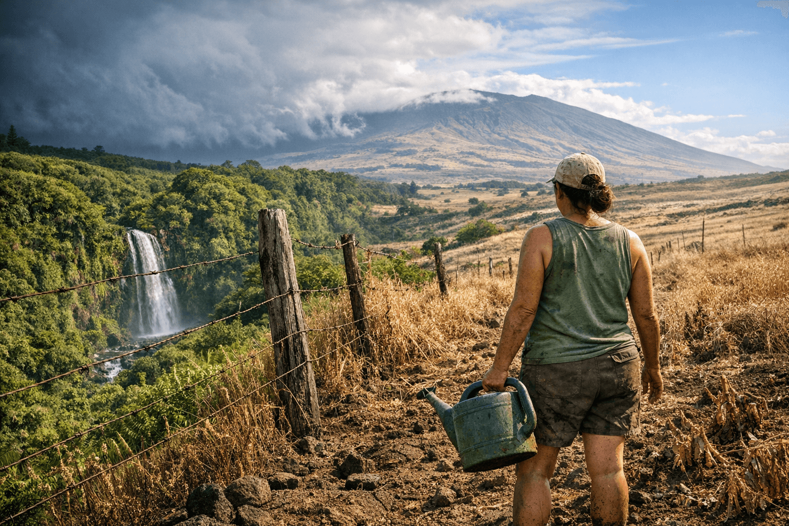
For farmers and ranchers, the relief is real but uneven. Drought has been hard on pasture conditions, crop health and livestock water supplies, especially on an island where rainfall can change sharply from one district to the next. The wetter pattern should help green up grazing land and ease pressure on catchment systems in rain-fed areas, but the remaining dry pockets around Maunakea and other lingering abnormally dry spots mean some operations are still waiting for a full reset.
That distinction matters because Hawaiʻi Island has lived through a sharp swing. In August 2025, the Big Island ranged from abnormally dry to extreme drought, with red flag warning days and wildfire-prone conditions. By December, the entire island was still in drought despite higher rainfall totals in the prior months. The latest turnaround is dramatic, but it does not erase the longer dry spell that stressed ranchland, farms and hillside vegetation.
State officials have also been watching the water picture in real time. On April 8, the State of Hawaiʻi Department of Land and Natural Resources and the State of Hawaiʻi Commission on Water Resource Management said the U.S. Geological Survey provides near-real-time stream data at 88 monitoring locations across the five main Hawaiian Islands, with gauges typically updated every 15 minutes. The National Weather Service Honolulu hydrology page says drought information statements are updated monthly as conditions warrant, a reminder that conditions can shift quickly when another storm arrives.
The broader message for Hawaiʻi Island is one of uneven recovery. Heavy rain has erased most of the state’s drought footprint and lowered immediate fire danger, but the Maunakea area and other dry pockets still need more rain before ranchers, growers and homeowners can call the dry season over.
This article was produced by Prism’s automated news system from verified source data, official records, and press releases, then run through automated quality and moderation checks before publishing. The system is built and supervised by the people who set the standards it runs under. Read our full AI policy.
Did this article answer your question?