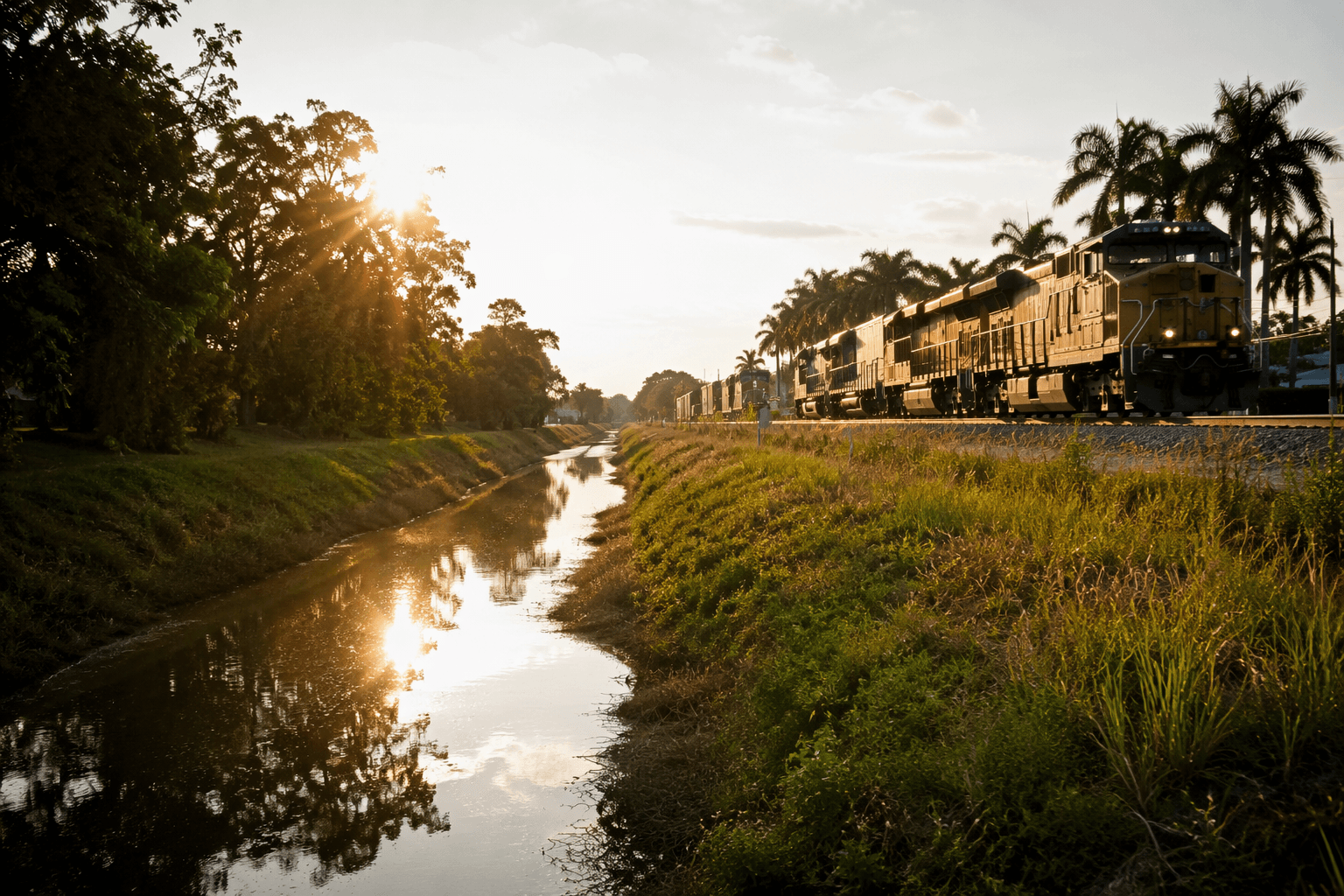
Broward County explains where stormwater goes during heavy rainstorms
Stormwater in Broward moves through a hidden canal network, and the 2023 flood showed how fast flat neighborhoods can back up when that system is overloaded.
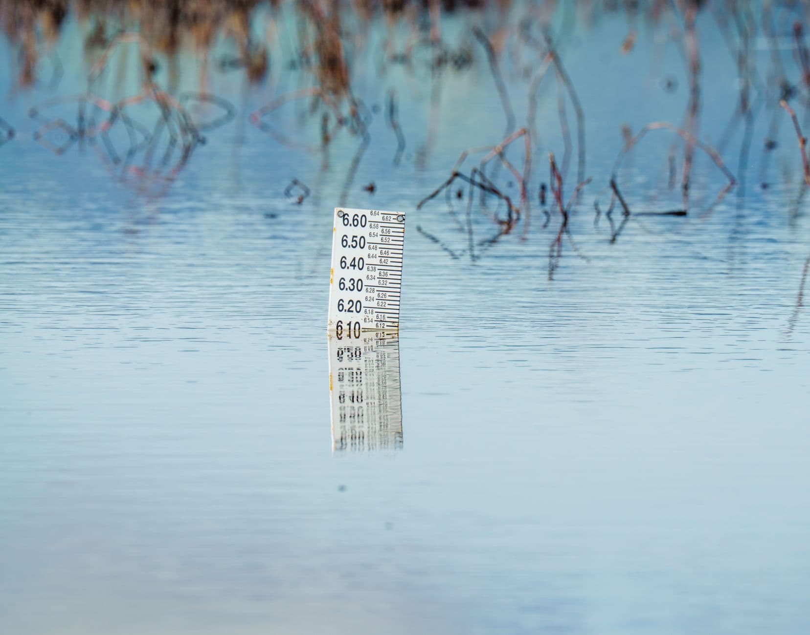
Fort Lauderdale recorded 25.91 inches of rain in 24 hours during the April 12-13, 2023, storm that overwhelmed Broward County’s drainage system. When heavy rain hits Broward County, water does not disappear into the ground. It runs off yards, streets, swales, and low spots into canals, ponds, and control structures that were built to keep flat neighborhoods usable. Dania Beach and Hollywood also saw extreme inundation.
How Broward’s stormwater network works
Broward sits inside the 16-county South Florida Water Management District, so flood control here is regional, not just local. The broader system includes more than 2,100 miles of canals and waterways, and SFWMD operates and maintains more than 2,175 miles of canals across South Florida. Broward’s own drainage system is much smaller, at about 266 miles of waterways.
That network exists because South Florida is low-lying, wet, and built around engineered water management. Rain that falls on a roof, parking lot, lawn, or roadway has to be collected, moved, stored, and discharged. In practice, that means water travels from curbside inlets and roadside swales into drainage basins, then into canals and control structures, and finally out through coastal and regional outlets when conditions allow.
The nine canals that do most of the work
Broward County’s primary drainage system has nine major canals and basins. Their names are familiar because they mark the county’s geography as much as its infrastructure.
- Hillsboro Canal
- C-14, the Cypress Creek Canal
- Pompano Canal
- C-13, the Middle River Canal
- C-12, the Plantation Canal
- North New River Canal
- C-11, the South New River Canal
- C-9, the Snake Creek Canal
- C-10, the Hollywood Canal
They are the main channels that move stormwater across neighborhoods that many residents know by street and subdivision rather than by basin name. When those canals are carrying heavy flows, the water you see at the curb is already part of a larger system moving toward a downstream structure, a pump, or a coastal outlet.
Where the system is most likely to back up
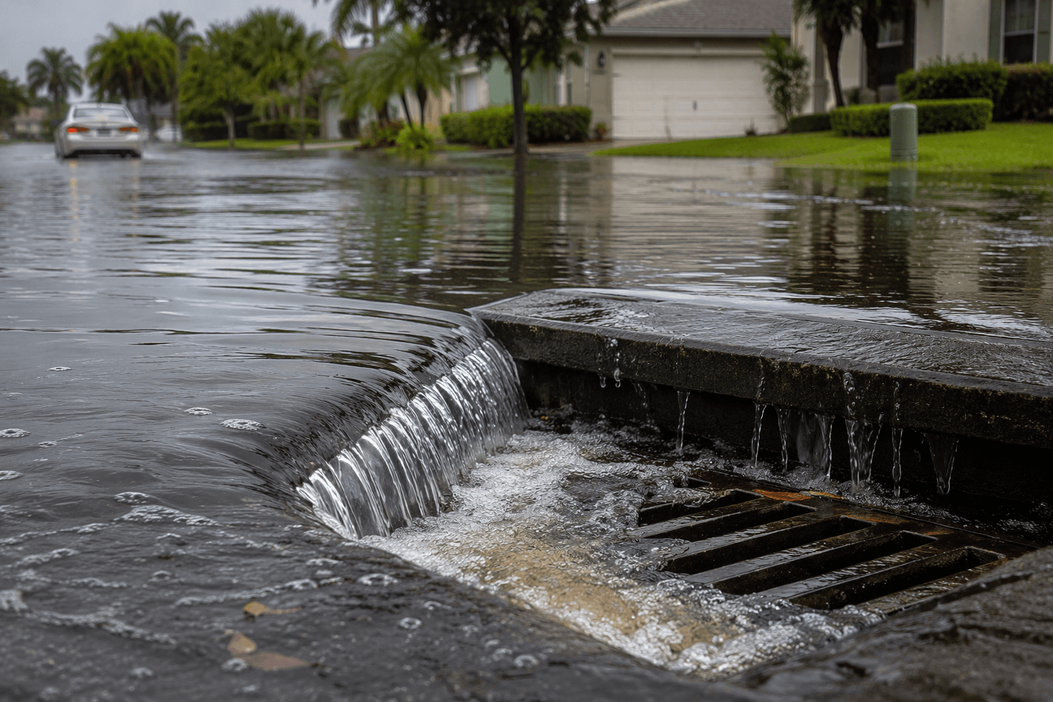
Broward’s flood risk is not only about hurricanes. Summer downpours, high tides, and already saturated ground can combine to slow drainage even in ordinary storm season. Flood-model scenarios in the county’s resilience planning use 10-, 25-, 50-, and 100-year rainfall events under king-tide and saturated-system conditions.
Broward County classifies the April 2023 flood as a historic 1-in-1,000-year rainfall event. When rainfall of that scale hits a flat landscape at the same time canals, streets, and coastal outlets are under pressure, the backup shows up quickly in low neighborhoods and at the edges of drainage basins.
Coastal water-control structures are another choke point. In April 2025, SFWMD focused the Broward Basins study under the WRDA 1986 Section 203 process on the primary canals and coastal water-control structures. Those are the places where water either keeps moving or starts to sit.
Who manages the patchwork
Broward’s drainage map is not one countywide machine. The county’s drainage district maps and SFWMD map products break the system into districts, which means different neighborhoods rely on different local entities, standards, pumps, and canals. That patchwork includes districts such as Lauderdale Isles Water Management District, North Lauderdale Water Control District, and North Springs Improvement District.
Two of the clearest examples show how local the system gets. The Central Broward Water Control District provides secondary stormwater drainage to 175,000 residents in six municipalities across a 45-square-mile area and maintains about 107 miles of canals. The South Broward Drainage District’s jurisdiction covers 46,600 acres and includes 150 linear miles of freshwater canals.
Broward County also has a Water Advisory Board and a Technical Advisory Committee, created to advise county commissioners on water resources management.
What to watch when storm season gets loud
Canals need to stay clear. Vegetation and debris along canal rights-of-way can block flow and interfere with downstream control structures, which means a clogged edge can slow water far beyond the spot where it starts.
Watch for:
- Swales that stay full after a moderate rain
- Retention ponds that do not drop back down as expected
- Debris or overgrowth near canal banks and rights-of-way
- Water at the curb during high tide and heavy rain together
- Local district notices about maintenance, pumps, gates, or canal work
A few common terms in plain English: Runoff is the water that flows off hard surfaces. Drainage is the movement of that water through the system. Outfalls are the places where water exits the local network, while basins are the areas that feed each canal.
This article was produced by Prism’s automated news system from verified source data, official records, and press releases, then run through automated quality and moderation checks before publishing. The system is built and supervised by the people who set the standards it runs under. Read our full AI policy.
Did this article answer your question?