Broward County faces afternoon storms as wet start to workweek begins
Late-morning to afternoon storms were set to hit Broward County, with Fort Lauderdale and Pompano Beach among the first flood-prone spots. A hotter stretch followed.
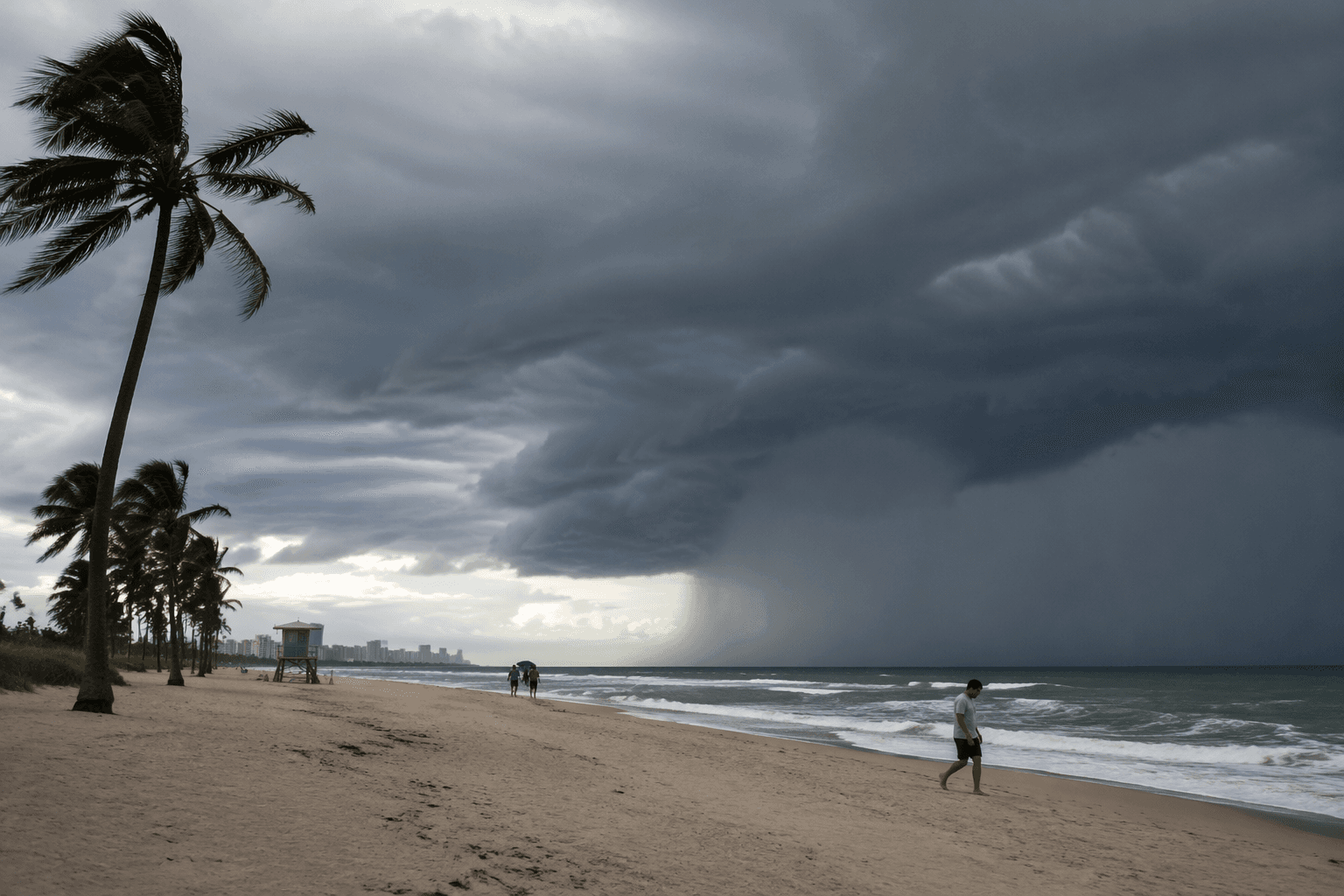
CBS Miami's 9:53 a.m. weather update on July 27 said another round of showers and storms would develop across South Florida Monday, with Broward County in the forecast area. Some rain had already moved into parts of the Florida Keys by Monday morning, and forecasters expected scattered to numerous storms late morning and afternoon as plenty of moisture and a frontal boundary lined up over the region.
For Broward, the biggest risk was not a headline storm but the kind of quick downpour that clogs roads, cuts visibility and leaves water pooling on streets that already drain slowly. Recent flood advisories for portions of the county named Fort Lauderdale, Coral Springs, Pompano Beach, Davie, Plantation, Sunrise, Deerfield Beach, Lighthouse Point and Hillsboro Beach, a map of where summer rain can turn disruptive fast when thunderstorms stall over low-lying neighborhoods.
That timing mattered for the workweek rush. Late-morning and afternoon storms can hit school drop-off routes, errands, youth sports fields and construction sites just as the county gets busiest, and they can slow traffic near Fort Lauderdale-Hollywood International Airport. The airport also had runway maintenance scheduled from Monday, July 27, through Friday, July 31, adding another layer of disruption risk to a corridor that already deals with heavy daily traffic and fast-changing weather.
The stormy pattern was expected to give way to a bigger warm-up afterward. The National Weather Service Miami-South Florida office listed a headline on July 28 saying severe drought conditions were continuing to expand eastward further into Miami-Dade and Broward counties, underscoring how quickly South Florida weather was flipping between soaking rain and drying ground. CBS Miami had already warned on July 21 that Tropical Storm Bertha was moving farther away from South Florida and that highs would reach the lower to mid-90s, with feels-like temperatures around 100 or more. A July 8 update said another heat advisory was in effect as triple-digit feels-like temperatures lingered and intensified.
For Broward, that meant the start of the week was about timing. The first problem was wet roads and storm delays during the day; the next was a hotter, more humid stretch once the boundary moved out.
This article was produced by Prism’s automated news system from verified source data, official records, and press releases, then run through automated quality and moderation checks before publishing. The system is built and supervised by the people who set the standards it runs under. Read our full AI policy.
Did this article answer your question?