How railroads and drainage shaped Broward County’s growth
Railroads and drainage turned Broward from a tiny frontier county into a coastal one, and a weekend loop from the New River to Deerfield Beach shows the evidence.
The quickest way to understand Broward County is to follow the places where water was crossed, moved, or controlled. A weekend loop from Fort Lauderdale to West Park, Deerfield Beach, and Hillsboro Beach shows how rail lines, drainage, coastal access, and preservation sites turned a thin strip of frontier into the county people know today.
Day one: start at the New River
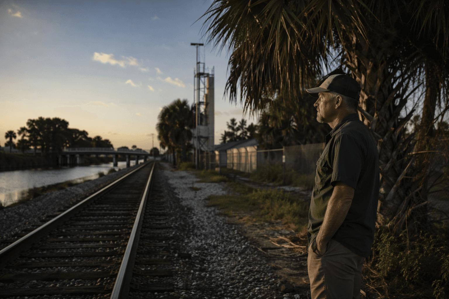
Begin on the New River, where Broward’s modern story took shape when the first train reached the water on February 22, 1896. Henry M. Flagler’s Florida East Coast Railway pushed the line through Fort Lauderdale in March 1896, Miami in April 1896, and Key West in 1912, tying the lower peninsula together long before Broward was formally created. Broward County was formed in 1915 from parts of Dade and Palm Beach counties, and its population was only 4,763 that year, rising to 5,135 by 1920. Port Everglades opened in the 1920s, adding the maritime link that completed the county’s shift from isolated settlement to coastal hub.
A few blocks away, the Stranahan House turns that origin story into something you can walk through. It is Broward’s oldest house and the county’s oldest surviving structure, and it once served as a trading post, post office, town hall, and home to Frank and Ivy Stranahan. The house opened as a museum in 1984 after restoration work by the Fort Lauderdale Historical Society and the Fort Lauderdale Board of Realtors, which makes it a good first stop for families, teachers, or anyone trying to explain to a newcomer why Fort Lauderdale grew where it did.
Cross to SW 11th Avenue and stop at the Snow-Reed Swing Bridge. Built between 1924 and 1925, renovated in 2010, and officially renamed and designated a historic landmark in 1989, it is a reminder that Broward’s growth depended on more than highways and high-rises. The bridge still swings open instead of rising, which makes it a practical lesson in how early transportation had to work with canals, river traffic, and the low-lying geography that shaped the city. It is one of the clearest examples in Broward of infrastructure that is both functional and historic.
Finish the Fort Lauderdale leg at Bonnet House, where the county’s coastal development story becomes a story about land, art, and family wealth. Hugh Taylor Birch bought the property in 1911, then gave it to his daughter Helen after her 1919 marriage to Frederic Clay Bartlett, and the house was started soon after. The estate sits on 35 acres next to Hugh Taylor Birch State Park, which covers 180 acres, so one stop shows both the private beachfront estate and the preserved public land beside it.
Day two: move west and north
West Park gives the trail a different angle, one tied to housing, race, and suburban development. The Bowles-Strachan House was built as one of four model structures in Carver Ranches, a subdivision platted in 1940 and marketed exclusively to African Americans. It is now Broward County’s first officially designated historic residential site, and that designation matters because it turns a house into evidence of how segregation shaped where Black families could live, build wealth, and create community. The house also functions as a living museum with furnishings, objects, and memorabilia that make the neighborhood’s history concrete rather than abstract.
From there, the county’s preservation map widens into Deerfield Beach. The Deerfield Beach Historical Society, founded in 1973, calls itself the city’s principal agency for historic preservation, and its sites include the Butler House Museum of Black History, the Mid-Century Museum and Cultural Center, the Old School House, and the Red Caboose. That cluster is useful for a weekend itinerary because it shows that Broward history is not locked inside one big museum or one city center. It is spread across neighborhoods, and Deerfield Beach has built an institutional home for several different chapters of that story.
Head north to Lauderdale-by-the-Sea for Anglin’s Fishing Pier, first opened in 1963 and extending 800 feet into the Atlantic Ocean. The pier sits near a coral reef that is described as the closest reef to the shoreline in the continental United States, which makes the stop as much about marine geography as beach culture. A section partially collapsed after Hurricane Nicole in November 2022, and rebuilding requires permits from the Florida Department of Environmental Protection, the U.S. Army Corps of Engineers, Broward County, and the town. That permitting trail is a reminder that Broward’s coastline is managed as carefully as its history sites.
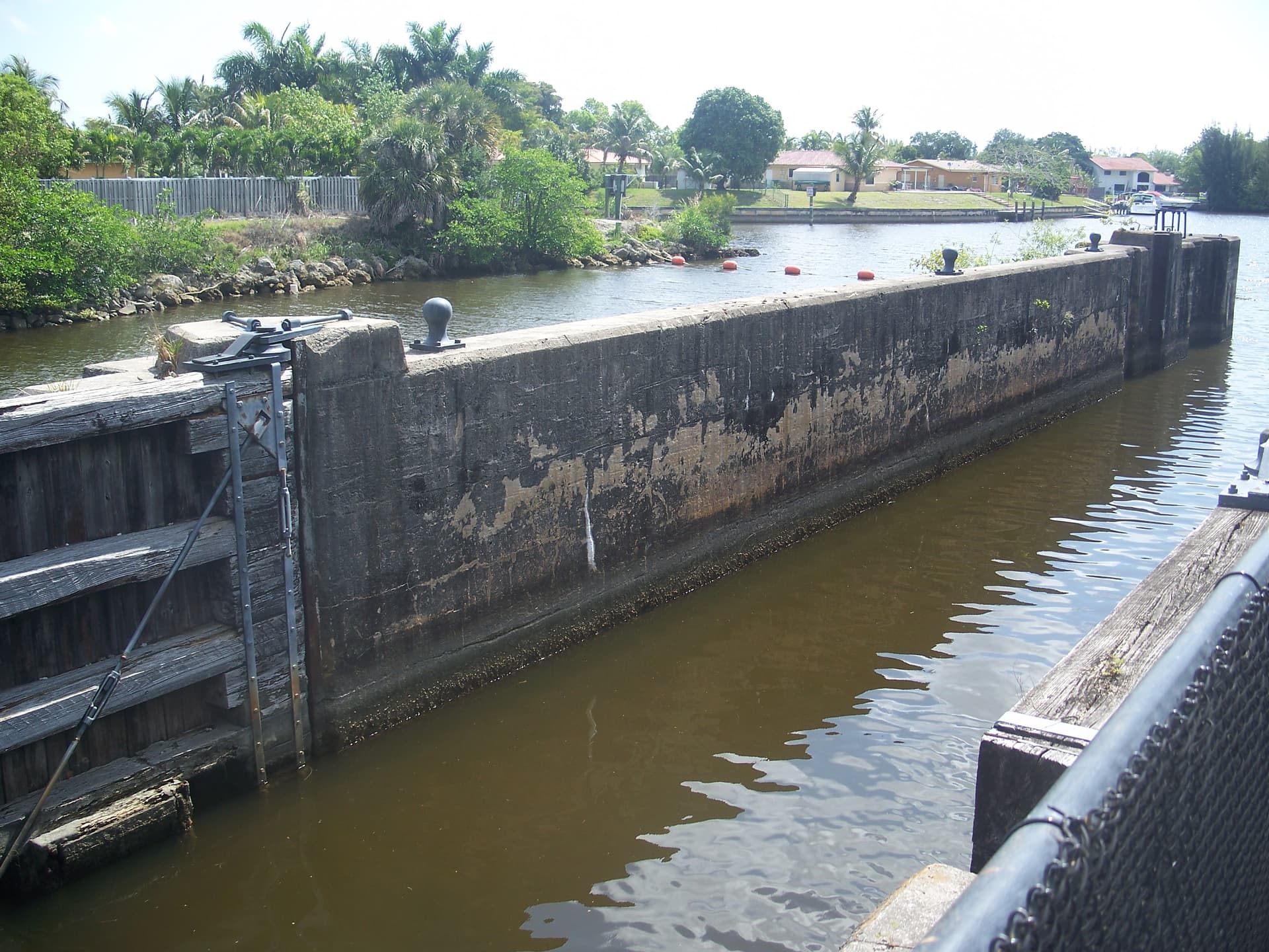
A short drive brings the route to Hillsboro Beach and Hillsboro Inlet, where the county’s shoreline becomes even easier to read as a narrow edge between ocean and inland water. Put that with the pier stop and the Fort Lauderdale riverfront, and the county’s geography becomes obvious: access points to water have always mattered as much as land itself.
What the route teaches
The deeper lesson of the trail is that Broward County was built by moving water and moving people. The rail line arrived first, drainage came about a decade later, and the county’s early population stayed tiny even as its infrastructure changed fast. Today, two-thirds of Broward County is set aside as water conservation areas and remains part of the Everglades, which means the county’s growth story is also a land-use story that still affects where development can happen.
That is why Broward’s 31 National Register listings, including two historic districts, matter beyond the museum crowd. They are spread across places such as Dania Beach, Davie, Deerfield Beach, Fort Lauderdale, Hollywood, Lighthouse Point, Oakland Park, and Pompano Beach, showing that the county’s past is not concentrated in one corridor. A single weekend can trace the arc from rail arrival to drainage, from segregation-era housing to beachfront estates, and from river crossings to coral reefs, all within the same county that grew from 4,763 people in 1915 to the dense coastal Broward of today.
This article was produced by Prism’s automated news system from verified source data, official records, and press releases, then run through automated quality and moderation checks before publishing. The system is built and supervised by the people who set the standards it runs under. Read our full AI policy.
Did this article answer your question?