How Buncombe County built its greenway network over time
Buncombe’s greenways grew from scattered paths into a countywide network that shapes daily travel and recreation. The next gaps are still visible in South Buncombe, Enka and Woodfin.
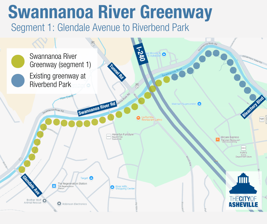
Buncombe County’s greenway system is easiest to understand when you see it as daily infrastructure, not scenery. A paved path beside a river, a trail link to a park, or a route that keeps a walker off a busy road can change how people get to work, exercise, and move across town. The county’s planning files show that the network was built piece by piece, with South Buncombe, the French Broad River corridor, Enka and Woodfin marking the places where the map still does not fully connect.
How a local trail network became a county system
Greenways and trails are “not a new term or a new theme for Buncombe County,” and that history matters. Western North Carolina has drawn outdoor enthusiasts for more than a century, while cities and towns inside the county invested heavily in their own trail plans and projects before the county tried to knit those pieces together.
That broader civic turn shows up in the county’s parks mission, which ties greenways to quality of life, social interaction, and health and wellness through active lifestyles. In other words, the county treats these routes as more than leisure space. They are part of how Buncombe wants people to move, meet, and stay active.
The planning work started before the pavement did
The county did not begin with a map of finished trails. A French Broad River and Highway 251 greenway concept and feasibility study, dated November 2010, looked at the basics that determine whether a route can actually be built: land use, historic and cultural significance, property ownership, challenge areas, connections, and funding sources for greenways, sidewalks, and bikeways.
That kind of groundwork fed into the broader master plan effort. Buncombe County Parks, Greenways and Recreation Services and the Buncombe County Greenway & Trails Commission had been working for four years toward a Comprehensive Greenway & Trails Master Plan, and the formal effort began in June 2011. By August 2012, the draft plan was ready for public review, a sign that the county was trying to turn separate local ideas into one coordinated network.
Equinox Environmental described the master plan as a multi-jurisdictional project meant to guide regional greenway development for the next 10 to 20 years. The process included the public, key stakeholders, and multiple jurisdictions and agencies, which matters in a county where a trail can start in one town, cross county land, and end in another municipality.
What a Buncombe greenway is on the ground
Buncombe County Parks & Recreation describes a greenway as a multi-use path in natural corridors that is typically 10 feet wide and paved. That design is why greenways often feel different from sidewalks or roadside shoulders: they can serve walkers, bikers, and other users in a shared corridor that is separated from ordinary traffic.
The county also says it is working with other municipalities to develop a regional greenway system of open pathways. That regional approach explains why a trail in Asheville can matter to someone in a nearby town, and why a partial network can feel useful one day and incomplete the next. Connect Buncombe’s maps show more than 14 miles of street and trail routes across 12 greenways serving walkers, bikers, and more in Buncombe County.
Where the gaps still shape everyday travel
The missing links are just as important as the miles already built. In 2015, public input was being sought for a South Buncombe route between Lake Julian Park, the North Carolina Arboretum, and the Brevard Road and Interstate 26 area. Part of that route could run on county property being acquired from Henderson County between Interstate 26, the French Broad River, Ferry Road, and Brevard Road.
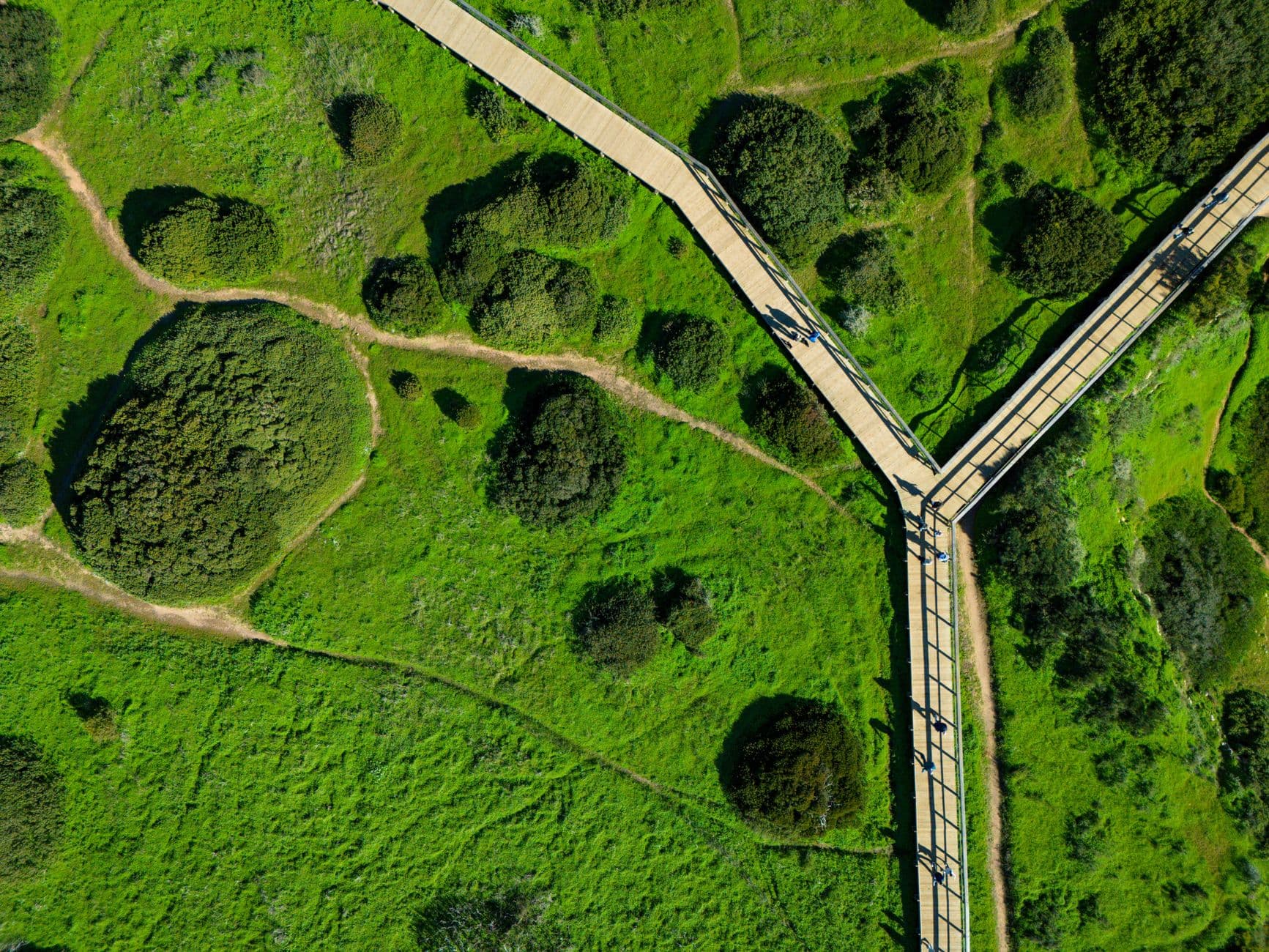
That matters because it shows how greenways can change the way nearby places connect. Lake Julian Park and the North Carolina Arboretum already draw residents for recreation; a continuous route among them and the Brevard Road corridor would affect how people move without a car and how often those destinations can be linked in one trip.
The county’s next steps have also been pointed north and west. By 2023, projects planned for Enka and Woodfin were next in line for Buncombe County greenways, showing that the system is still expanding rather than finished. For residents in those areas, the difference between having a planned route and having a built route is the difference between a line on a map and a practical path to school, a park, or a commute.
Why the county keeps updating the map
Buncombe’s current systemwide parks and recreation planning process says the Greenways & Trails Plan was last revised in 2012, and the county is now updating it while also creating its first Parks & Recreation Master Plan and first Open Space Plan. That tells you greenways are being treated as long-term infrastructure, not isolated amenities.
The practical question now is not whether Buncombe County values trails. It is where the next links go, which neighborhoods they will finally connect, and how quickly the county can turn the remaining gaps into a network that feels continuous from one side of the valley to the other.
This article was produced by Prism’s automated news system from verified source data, official records, and press releases, then run through automated quality and moderation checks before publishing. The system is built and supervised by the people who set the standards it runs under. Read our full AI policy.
Did this article answer your question?