Totten Reservoir map shows access points, boundaries and hunting limits
Totten Reservoir’s updated map marks the boat ramp, restroom, no-access zones and hunting limits, making it a must-check before any visit.

Totten Reservoir State Wildlife Area looks simple on a map, but the details matter before you drive out there. Colorado Parks and Wildlife’s updated map, dated May 13, 2024, shows exactly where the reservoir sits on McElmo Creek and where access begins and ends. It also flags the boat ramp, parking, restroom, BLM boundary, no public access areas and a specific ban on waterfowl hunting.
What the map tells you first
The first mistake many visitors make is treating a state wildlife area like a state park. Totten Reservoir is managed as wildlife property, so the map is not just helpful, it is the rulebook for where you can move, park and launch. On this site, the map’s labels are the difference between a normal day on the water and a trespass issue at the edge of a no-access zone.
The map’s BLM boundary is especially important in a mixed-ownership landscape like this one. When public land, wildlife management boundaries and private or restricted zones meet, the edge lines are not background detail. They decide where a shoreline walk, fishing stop or birding outing can legally happen.
Who can use the area and when
Colorado Parks and Wildlife manages about 350 State Wildlife Areas statewide, and Totten Reservoir fits that system. To help manage growing use at these areas, CPW requires anyone 16 or older to carry either a valid hunting or fishing license or an SWA access pass. That rule matters even before you decide whether you are there to fish, paddle or watch birds.
General CPW rules also set a time window for public access: 1 hour before sunrise to 1 hour after sunset. Fishing is the exception, with no time restrictions listed for that activity under the general rules. That makes the reservoir a place where the clock matters for most uses, even when the water itself may still look inviting later in the evening.
Boating, parking and the small amenities that make a trip work
The map identifies a boat ramp, parking and a restroom, which are the practical pieces visitors usually want first. Those features tell you that this is not a purely backcountry stop, but a managed access point built for actual use. If you are planning to launch, the ramp location matters more than guessing from shoreline shape alone.
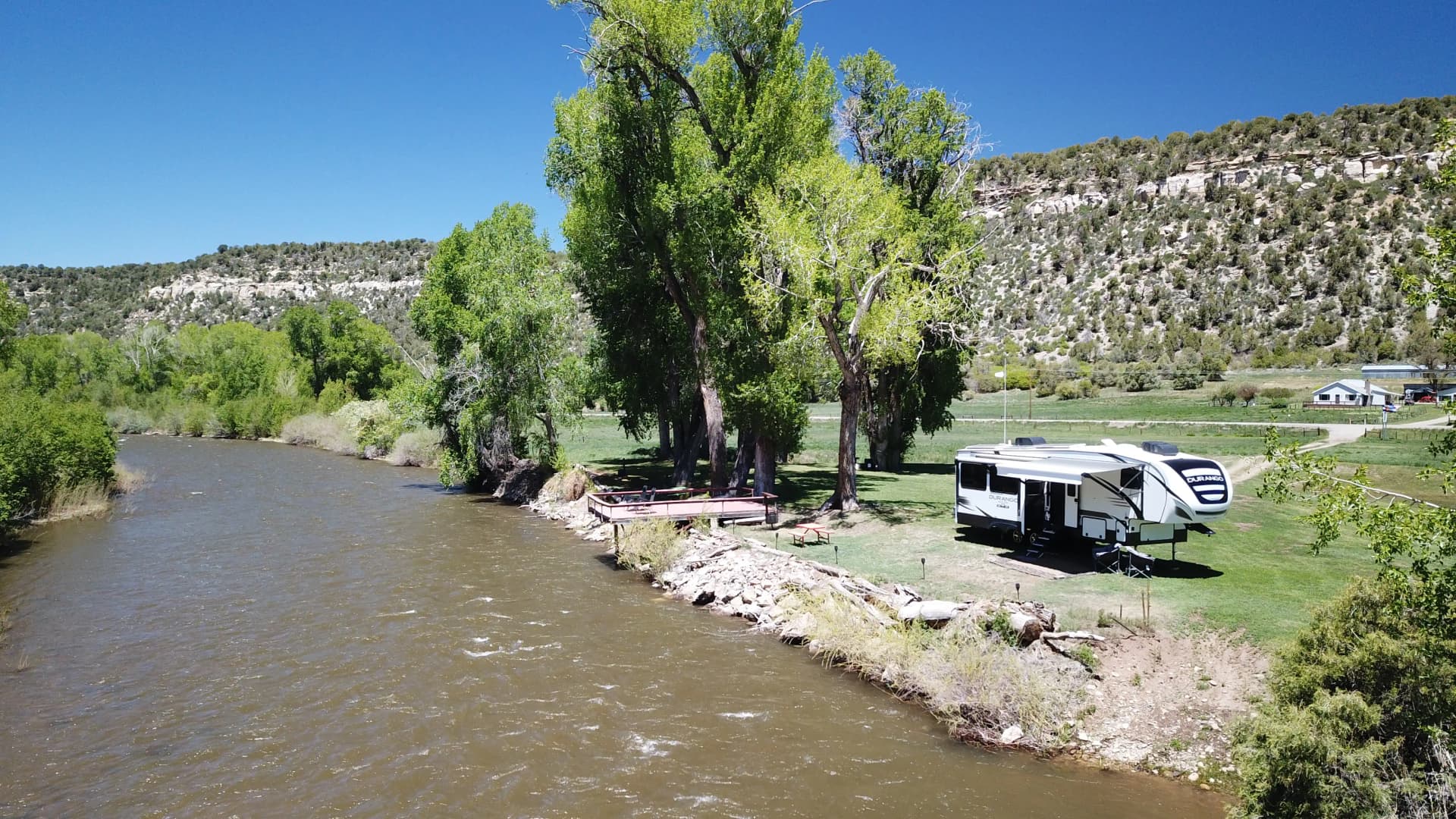
OnWater describes Totten Reservoir SWA Access as a 250-acre fishing and paddling destination in Montezuma County. It also notes that the reservoir is inlet-fed by the Dolores River and maintained at a minimum conservation pool level. For anglers and paddlers, that combination means water conditions and shoreline access can be more controlled than at an open natural lake.
Birding and wildlife watching
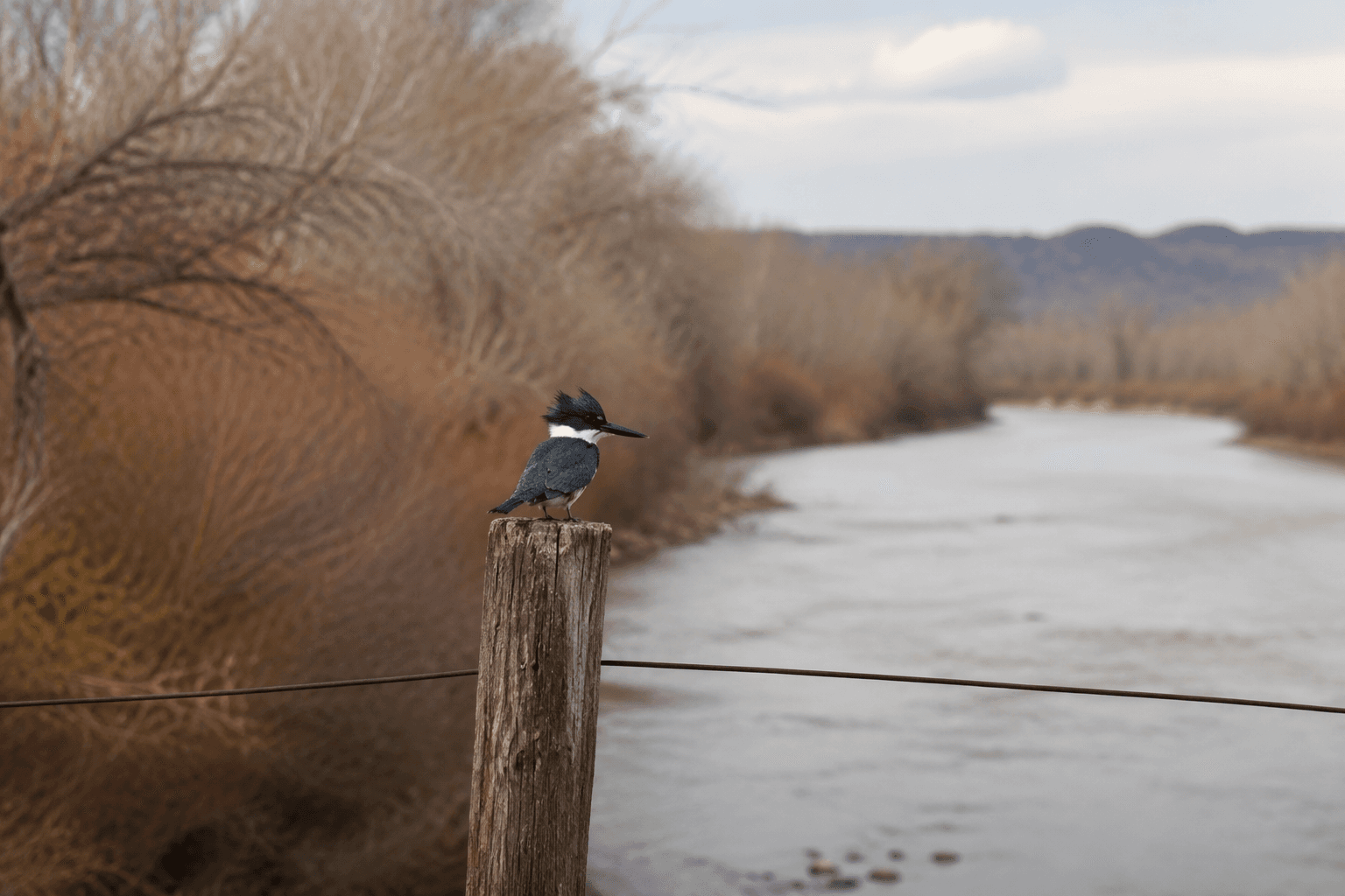
Colorado Birding Trail lists Totten Reservoir SWA as conveniently close to Cortez and says it attracts good numbers of waterbirds. In the Four Corners region, where standing water can be scarce, that concentration can make the reservoir unusually productive for birders. The listing also says a scope is required to see birds well, which is a useful detail if you are planning to scan the water from shore.
That same birding guidance points to the northeastern corner as a place where finding vagrant gulls or shorebirds may require a long walk. For anyone going with binoculars or a camera, that is the kind of field note that changes a visit from casual to useful. The reservoir is not just a launch point; it is also a watchable habitat with bird movement that can shift toward the edges.
Hunting limits and seasonal closures
The clearest rule on the map is the one many people miss: no waterfowl hunting. That is not a generic caution, but a specific restriction on this property, and it should end any plan to use the reservoir for ducks or geese.
The broader wildlife-property rules add more limits. Camping is prohibited at Totten Reservoir State Wildlife Area, hunting is prohibited in the inlet area from September 30 through January 20, and public access is prohibited along the north shore from March 1 through May 31 as posted. Those dates are easy to overlook, especially if you only glance at the map once, but they matter for anyone planning a shoulder-season trip.
Why the reservoir’s history still matters
Totten Reservoir has also drawn attention because of its dam and water management. A Four Corners Free Press report said the aging dam did not meet state specifications and that the Dolores Water Conservancy District would lower water levels indefinitely while officials decided what to do. The report quoted District Manager Mike Preston as saying the district needed to make investments to bring the dam up to standard.
That history helps explain why a visit here should never be based on assumptions about shoreline, depth or access. If water levels have been adjusted for infrastructure reasons, the usable edge of the reservoir can shift, and a map view alone may not tell the full story on the ground. For a place that serves anglers, paddlers, birders and hunters, the conditions can change as quickly as the rules.
Totten Reservoir is best approached as a carefully managed public property, not an open-ended recreation spot. Check the CPW map, note the boat ramp and restroom, respect the BLM boundary and no-access zones, and remember that waterfowl hunting is off the table. At this reservoir, the safest trip is the one that starts with the restrictions.
This article was produced by Prism’s automated news system from verified source data, official records, and press releases, then run through automated quality and moderation checks before publishing. The system is built and supervised by the people who set the standards it runs under. Read our full AI policy.
Did this article answer your question?