What the Dolores River SRMA means for local access and protection
The Dolores River SRMA map is the key to where the lower canyon stays open for rafting, camping, and fishing, and where BLM protections shape access and crowding.
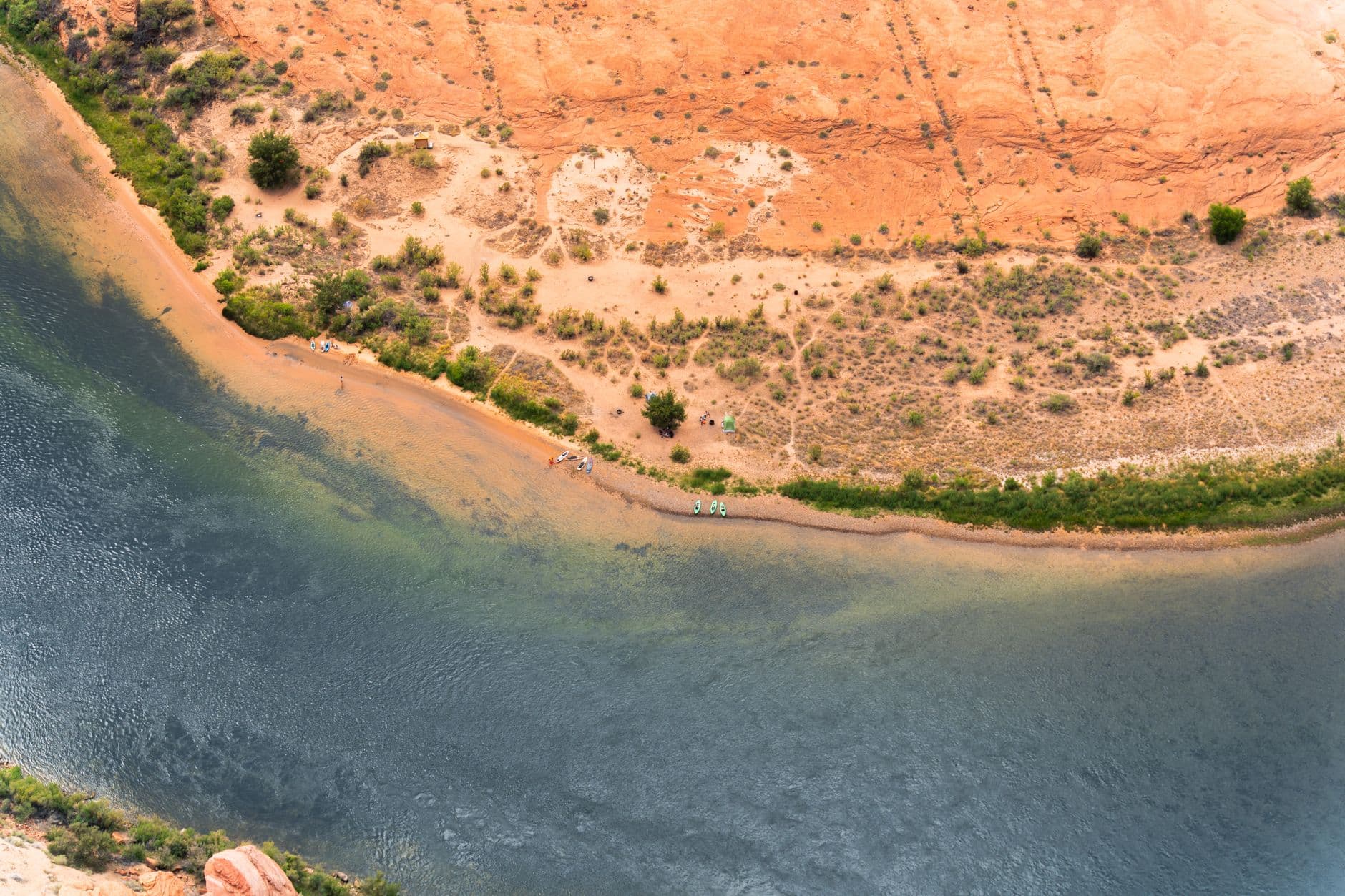
The 2020 BLM map for the Dolores River Special Recreation Management Area tells people who float, camp, drive, fish, or hike in this stretch that they are in a managed public-lands corridor, not a simple roadside pullout or a one-use recreation site. For people moving through Dolores County, it sets the framework for how the lower canyon is used, where recreation is encouraged, and where protection of the river corridor comes first.
What the SRMA designation changes
Special Recreation Management Area status means the Bureau of Land Management manages the Dolores River corridor as a place where recreation, scenery, wildlife, and cultural resources all have to fit together. The corridor management plan for the Montrose District organizes the area around climate, air quality, water, soil, geology and minerals, lands and realty, socio-economic conditions, and cultural and paleontological resources.
The corridor is treated as a working public-lands system. Roads, canyon segments, dispersed use, and recreation all sit inside a management plan that is meant to balance use with protection of place-specific values. For Dolores County residents, the river corridor is part of local travel patterns, local outfitters’ business, and the everyday sense of where public land begins and how it should be used.
Where the corridor runs and what visitors actually find
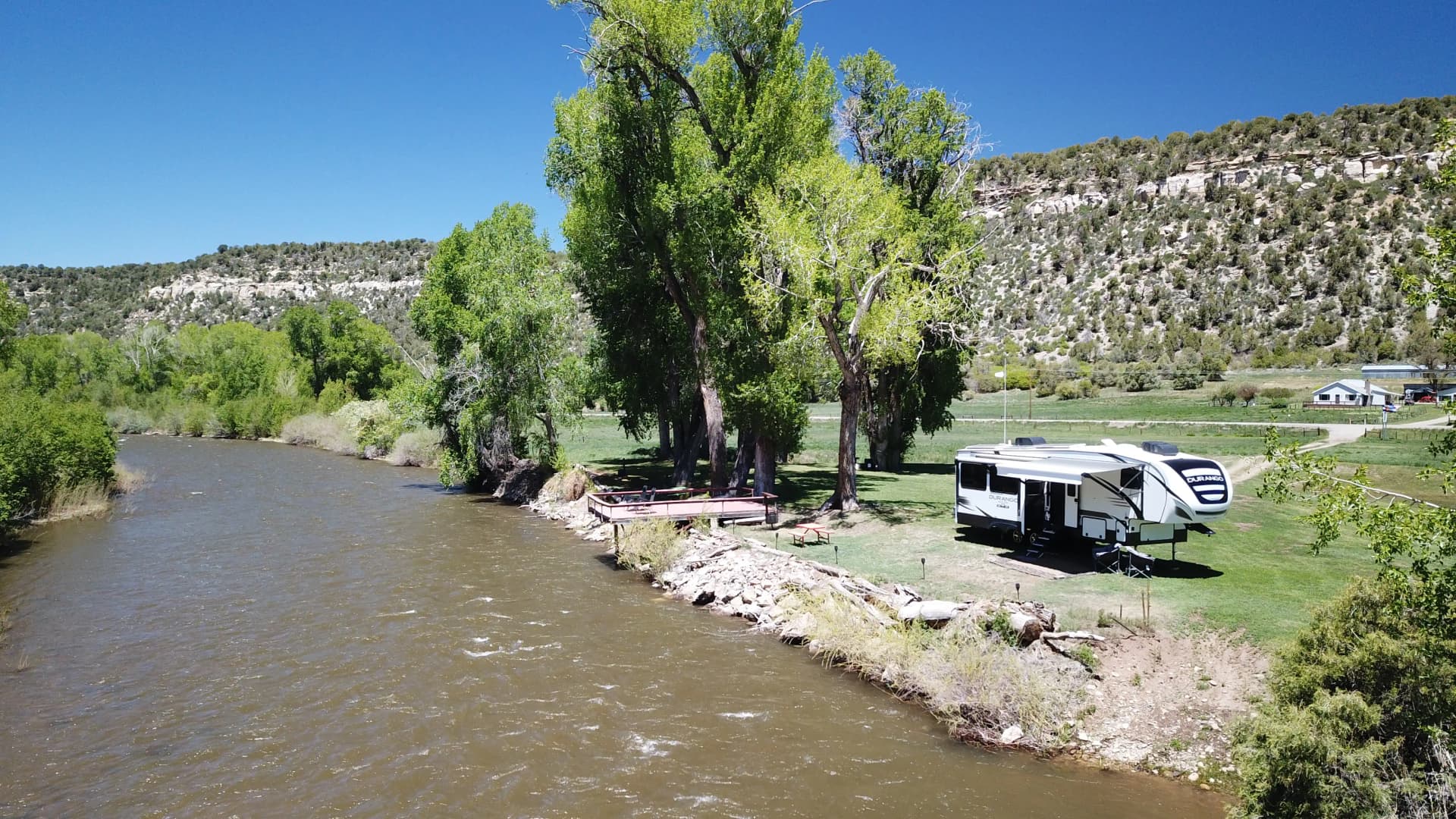
The BLM’s Dolores River SRMA materials focus on the lower stretch of the river, west toward the Utah border. This is canyon country, not a developed urban park, with technical rapids, stunning scenery, wildlife viewing, side-canyon hiking, and camping. Those uses depend on a landscape that remains remote and lightly built out.
The corridor is not a single entrance with one easy trailhead. It is a chain of public lands, roads, river access points, and canyon reaches that require planning before you go. The SRMA map helps you see where the SRMA boundaries run and how the public-land pieces fit together across the canyon.
How the management plan shapes access on the ground
Access in the lower Dolores is shaped by more than river conditions. The BLM’s management framework brings in lands and realty, which affects road use and access points, and socio-economic conditions, which ties the corridor to the communities and businesses that depend on it. It also brings in cultural and paleontological resources, which means the area is not managed as open scenery alone. Some places may be more suitable for dispersed use, while others demand more care because they hold wildlife habitat, historic traces, or fragile terrain.
The SRMA map is a practical tool. It helps you understand where camping is part of the intended use, where boating is the main draw, and where the landscape’s protection may limit how much you can do and where you can do it.
Why the Dolores River has been a political issue for years
The SRMA sits inside a broader debate over what kind of future the Dolores River corridor should have. Coloradans in the southern Dolores Basin have discussed the idea of a national conservation area there for many years. In 2008, the U.S. Forest Service and the BLM asked the Dolores River Dialogue to convene a broad-based community group, which became the Lower Dolores Working Group.
Bennet’s 2022 proposal would designate a National Conservation Area and Special Management Area for a portion of the corridor in Dolores, Montezuma, and San Miguel counties, and it would permanently protect more than 68,000 acres of public lands. Bennet and John Hickenlooper reintroduced the Dolores River National Conservation Area and Special Management Area Act on March 3, 2023, keeping the same landscape at the center of the conversation.
What the broader proposal would protect
A July 2022 fact sheet for the proposed NCA and SMA says the proposal seeks to protect identified Outstandingly Remarkable Values while respecting and protecting water rights, private property rights, use of the Dolores Project and its allocations, and other historic uses. The proposal would develop an alternative to Wild and Scenic River suitability and potential designation.
The proposal’s coverage includes Dolores, Montezuma, and San Miguel counties. The BLM testified to the Senate Committee on Energy and Natural Resources in July 2023 while the federal government was actively considering the Dolores River NCA and SMA proposal.
Why recent river conditions changed the conversation
In May 2023, record flows were drawing rafters and building new momentum for Dolores River conservation efforts. Water conditions shape who comes, how crowded the river feels, and how much pressure lands along the corridor receive in a given season. The same canyon that feels lightly used in one year can become a high-demand route in another.
For locals, that variability affects access, safety, and the strain on camp spots, roads, and take-out points. A corridor that looks quiet on a map can still absorb a surge of use when river conditions or conservation attention bring more people into the same narrow reach.
How to use the BLM materials before you go
The most useful habit is to check the BLM map and visitor information before heading out. The BLM’s Dolores River SRMA page, the Montrose District corridor plan, and the field-office mapping materials from the Grand Junction Field Office and Tres Rios Field Office are the best starting points for understanding where you are and what the land is managed for. That is especially important if you are floating, camping, fishing, or driving into side canyons, where one corridor segment may welcome use and another may be protected for a different purpose.
This article was produced by Prism’s automated news system from verified source data, official records, and press releases, then run through automated quality and moderation checks before publishing. The system is built and supervised by the people who set the standards it runs under. Read our full AI policy.
Did this article answer your question?