Douglas County GIS offers new tools to research property records
Douglas County’s parcel tools can help you check ownership, tax bills, and map details before you buy land or build a fence. The county also warns the viewer is not a survey.
Douglas County’s GeoPortal links property records, map viewers, survey lookup tools, and recorded land documents in one place. That gives residents a fuller digital path through property information, so the first place to check can be county records instead of a third-party site.
Start with the county’s property search
The Property Information and Maps page is built for practical first checks. It lets you search by name, address, or property identifier, then move into tax bills, payment history, a change-of-address form, a payment-under-protest form, and a service-fee schedule. That makes it useful whether you are verifying a home in Lawrence, a small business parcel in Eudora, or a vacant tract outside Baldwin City.
The county’s GeoPortal highlights a Property Viewer, a Survey Lookup Tool, downloadable data and static maps, and other interactive web maps, turning property research into a self-serve workflow rather than a single lookup page. It also gives a broad picture of the county’s land base: 41,778 tax parcels, an average parcel size of 7 acres, and an estimated total acreage of 287,097 acres.
Use the map, but know what it is and is not
Douglas County GIS is explicit about one critical limit: the parcel viewer is not a survey. The boundaries shown in the viewer represent taxable land from the County Appraiser’s perspective, and anyone trying to settle the exact placement of a property line should hire a professional surveyor.
The county’s FAQ also warns that private or utility easements are not mapped in the viewer. If you need easement documentation, the Register of Deeds holds the recorded documents.
The Tax Parcel layer behind the map is maintained daily, or as needed, and is considered in a constant state of maintenance. Anyone checking a recent split, lot line adjustment, or ownership change should know that before relying on what appears on screen.
Where the paper trail lives
When a property question goes beyond the map, the Douglas County Register of Deeds becomes the key office. It serves as the recording and information center for real estate in Douglas County and records deeds, mortgages, maps, subdivision plats, and other real-estate documents. If you are tracing how a parcel changed hands, or whether a subdivision plat was ever recorded, this is where the documentary record lives.
The office can also provide certified copies of recorded documents, with some exceptions, and extra fees apply. For buyers, lenders, title companies, and owners sorting out a chain of ownership or a dispute, a certified copy is the official version of the recorded document. E-recording is the fastest and most secure way to record documents, and it is used by law firms, lenders, title companies, and other industry partners.
The county’s Real Estate Division adds another layer of ownership information. It maintains current records of real property by ownership, address, legal description, special assessments, and tax identification number. It also certifies petitions and provides certified property-ownership lists, which makes it a useful stop when a property issue is tied to a formal filing, a development question, or a neighborhood matter that depends on current ownership records.
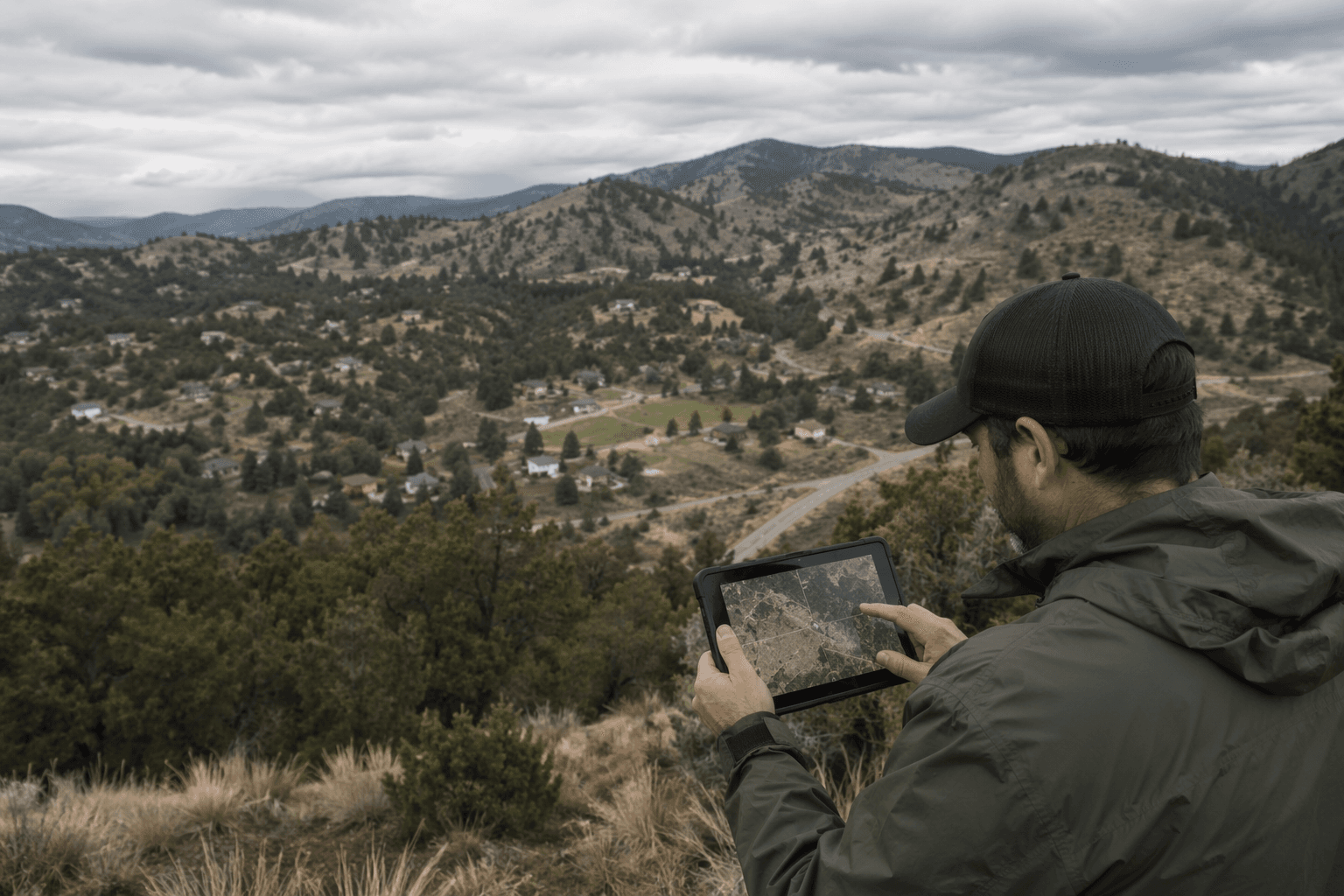
How to research a real-world property problem
A vacant lot before purchase calls for a different check than a fence line or a commercial redevelopment site, but the same county tools can handle all three.
For a vacant lot, start with the Property Information and Maps page to confirm the address or property identifier, then compare the tax bill and payment history with the map viewer. That quick pass can tell you whether the lot is what the seller says it is, whether taxes are current, and whether the parcel shape matches the ground you saw in person.
For a fence or setback question, open the Property Map Viewer, then treat the line as a planning reference, not a legal boundary. If the question is where the line truly falls, hire a professional surveyor. If the concern involves an easement, go to the Register of Deeds for the recorded documentation instead of assuming the viewer has captured it.
For a commercial parcel, use the GeoPortal’s broader set of tools. The survey lookup can help you see whether an official survey already exists, the downloadable maps can help with site context, and the county’s real estate records can confirm ownership, legal description, special assessments, and tax identification number before you spend money on plans, bids, or permits.
Where to find older surveys and in-person help
Douglas County’s Land Survey Records page is built for anyone trying to locate officially recorded surveys by location. It includes an interactive survey lookup, and the Douglas County surveyor is not for hire, so a new survey still has to come from a private professional. The county points users to a list of surveyors in Douglas County, a survey FAQ, and Lawrence Planning and Development Department resources if they need to move from records into actual field work.
The Public Works office listed on that page is at 3755 East 25th Street in Lawrence, Kansas, with office hours Monday through Friday, 8:00 a.m. to 5:00 p.m.
A county system built for more than ownership lookups
Douglas County’s mapping platform is not just about parcels. The GeoPortal includes specialized maps, including a May 28, 2019 tornado-damage comparison map, along with other thematic layers and downloadable resources.
This article was produced by Prism’s automated news system from verified source data, official records, and press releases, then run through automated quality and moderation checks before publishing. The system is built and supervised by the people who set the standards it runs under. Read our full AI policy.
Did this article answer your question?