Flash flood warning issued for Grand Traverse County until Tuesday morning
Flash flooding could hit Traverse City, Kalkaska and Elk Rapids before sunrise, with the warning in Grand Traverse County extended into Tuesday morning.
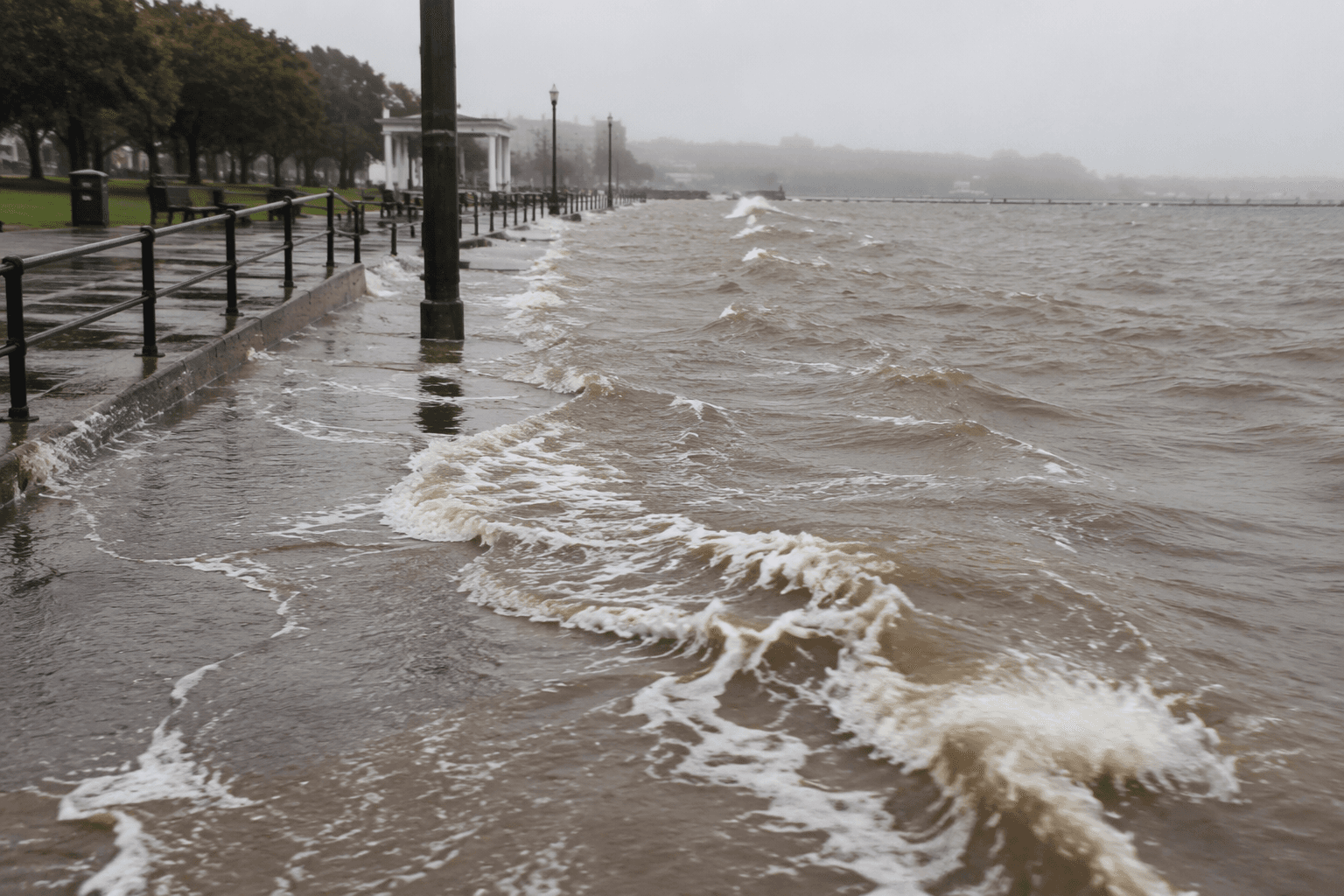
A flash flood warning covered Grand Traverse County before dawn Tuesday, with the National Weather Service warning first set to run until 3:45 a.m. EDT and a later bulletin extending it to 7:45 a.m. EDT. The warning area included Traverse City, Kalkaska and Elk Rapids, putting low-lying roads and commute-time travel at immediate risk as heavy rain fell during ongoing severe thunderstorms.
The NWS Gaylord office issued the county warning at 1:45 a.m. EDT, and its flash flood statement kept the alert in place through 7:45 a.m. EDT Tuesday, July 21, 2026. A separate NWS message for the Traverse City area said, “Severe thunderstorms possible later today into tonight,” signaling that another round of dangerous weather could follow the overnight flooding threat.
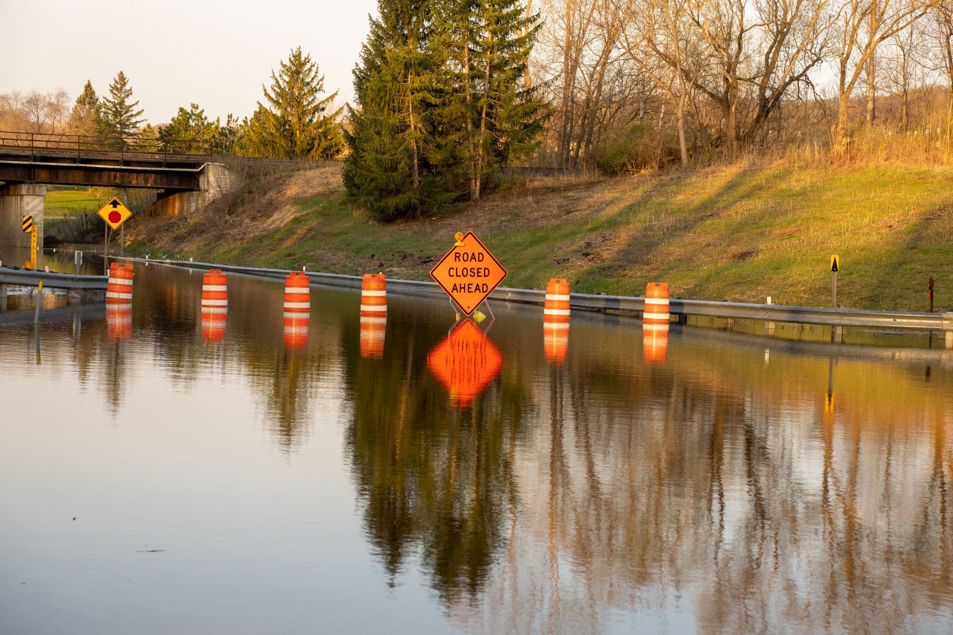
For Grand Traverse County residents, the warning landed in the middle of an already difficult flood year. County flood updates said Grand Traverse County was approved for FEMA Individual Assistance tied to the April 2026 flooding, after local officials had already been managing a major flood emergency earlier in the spring. County guidance told residents not to drive through flooded roadways and to avoid flood-impacted areas because conditions can change quickly and become life-threatening.
The county’s flooding history adds more weight to the alert. The National Weather Service also maintains a Grand Traverse County page for the May 28, 2020 flooding event, underscoring that flash flooding has repeatedly affected the Traverse City area. With another warning in place before sunrise Tuesday and more storms possible later in the day, officials were facing the same urgent risk pattern that has already strained neighborhoods, roads and recovery efforts across the county.
This article was produced by Prism’s automated news system from verified source data, official records, and press releases, then run through automated quality and moderation checks before publishing. The system is built and supervised by the people who set the standards it runs under. Read our full AI policy.
Did this article answer your question?