FEMA Flood Map Overhaul Would Place 386 Harris County Schools in Higher-Risk Zones
A FEMA draft would push 386 Harris County schools into higher-risk flood zones, the first major map overhaul in nearly 20 years, lifting total campuses in a floodplain above 700.

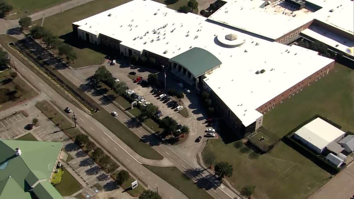
Nearly 400 Harris County school campuses, spanning public, private, and charter institutions, would be reclassified into higher-risk flood zones under draft maps that FEMA posted in February, marking the agency's first comprehensive revision to the county's flood boundaries in nearly 20 years. A Houston Chronicle analysis of those draft maps found 386 schools would move to a more dangerous designation, pushing the total number of Harris County campuses inside a floodplain or floodway past 700.
The districts absorbing the most exposure include Cy-Fair, Houston ISD, and Pasadena ISD. HISD alone carries $7.52 billion in public property spread across more than 300 square miles, and school districts statewide have already seen insurance costs climb 44 percent since 2020, according to the Texas Education Agency. Higher-risk floodplain designations can accelerate that trajectory, while also triggering new building requirements, stormproofing mandates, and costly retrofits to drainage systems.
Rice University civil engineering assistant professor Avantika Gori said the consequences extend well beyond damaged buildings. "Even smaller floods can have a significant economic impact in the sense of disruption," Gori said. "We might sustain a lot more damage to our critical facilities, and rebuilding is extremely costly, specifically for schools." Many Harris County campuses also function as emergency shelters and community service hubs, meaning flood disruptions ripple far beyond the school day.
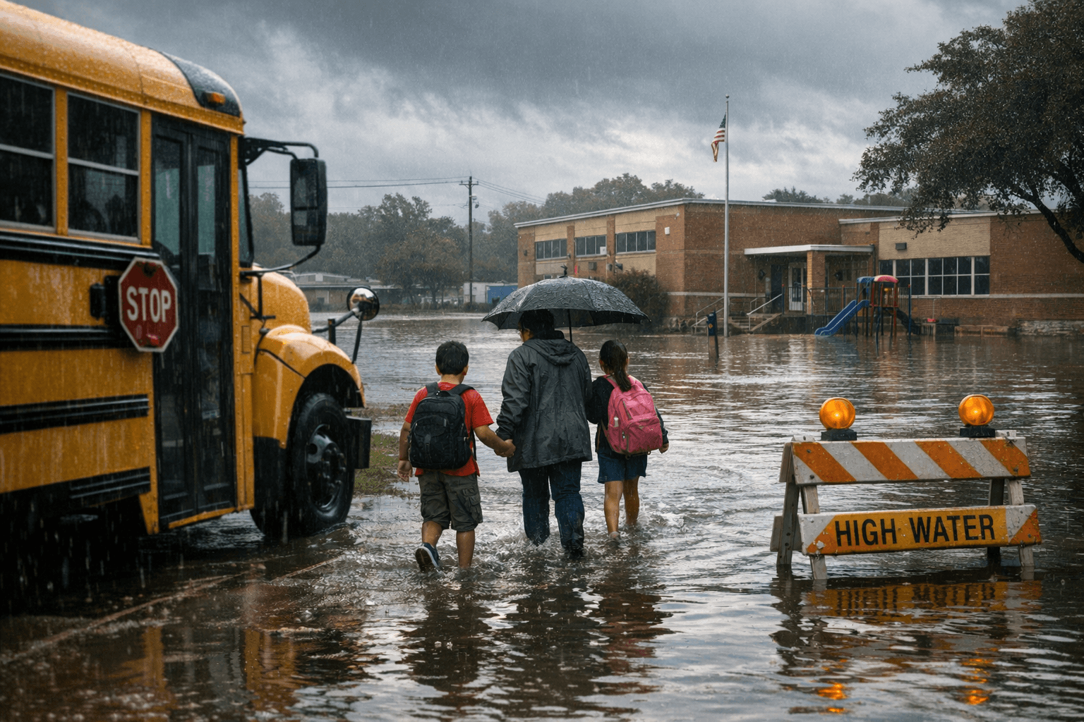
The draft maps reflect NOAA Atlas 14 rainfall data collected after Hurricane Harvey, which revised the benchmark 100-year storm from roughly 13 inches of rain in 24 hours to approximately 17 inches, a 30 percent increase. The old boundaries, drawn from data gathered after Tropical Storm Allison in 2001, never fully accounted for how dramatically Harris County's flood risk had grown. Harvey exposed that gap starkly: an estimated 70 percent of homes that flooded during the storm sat outside the officially mapped high-risk zone. Under the proposed revision, the 100-year floodplain would expand by approximately 50,000 acres countywide, a 33 percent increase.
The draft maps are part of FEMA's MAAPNext initiative and remain in a local review phase, with officials and residents still able to submit feedback. Finalization is expected to take two to three years. In the meantime, school districts face hard planning questions: whether to adjust bond priorities, revisit capital project timelines, or pursue federal mitigation grants that higher-risk designation can unlock. The maps are available for residents to search by address through the Harris County Flood Education Mapping Tool at harriscountyfemt.org.
This article was produced by Prism’s automated news system from verified source data, official records, and press releases, then run through automated quality and moderation checks before publishing. The system is built and supervised by the people who set the standards it runs under. Read our full AI policy.
Did this article answer your question?