Severe thunderstorm warning issued for Spring Hill, Brooksville, Hernando County
Spring Hill, Brooksville and Wiscon were under a severe thunderstorm warning until 3:15 p.m. EDT as heavy rain, lightning and gusts near 50 mph threatened afternoon commutes.
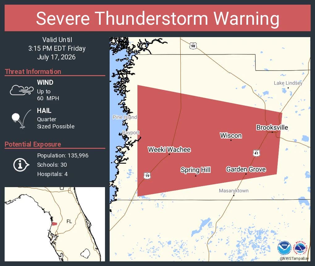
Gusty storms bearing down on Spring Hill, Brooksville and Wiscon forced families across Hernando County to move indoors fast as the National Weather Service warned of heavy rain, lightning and wind gusts up to 50 mph. The warning ran until 3:15 p.m. EDT, a narrow window that put the most dangerous conditions squarely in the middle of the afternoon.
Meteorologists were tracking a mesoscale convective vortex moving over the area, a storm feature that can help keep thunderstorms organized and push additional cells across the same neighborhoods. That raised the risk of downed limbs, sudden street flooding, lightning strikes and scattered power outages in parts of Hernando County that were already seeing active weather.
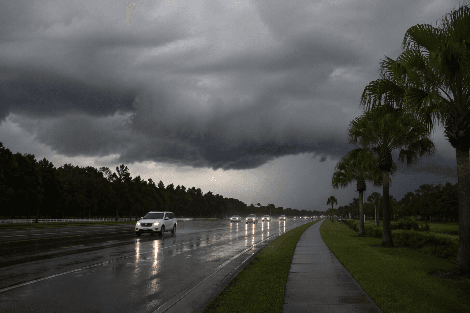
The warning area explicitly included Spring Hill FL, Brooksville FL and Wiscon FL, putting much of the county in the path of the strongest impacts. For drivers, the timing mattered: roads can turn slick in minutes when heavy rain settles over the same corridor, and brief bursts of 50 mph wind can make it dangerous to pass under trees, cross open stretches or keep control in a high-profile vehicle.
Severe thunderstorm warnings are used when storms may produce damaging winds, large hail, dangerous lightning and heavy rain. In Hernando County, that combination meant afternoon errands, school pickup routes and early evening commutes carried a higher risk than normal until the warning expired.
This article was produced by Prism’s automated news system from verified source data, official records, and press releases, then run through automated quality and moderation checks before publishing. The system is built and supervised by the people who set the standards it runs under. Read our full AI policy.
Did this article answer your question?