Lower Gila River near Virden draws birders and paddlers
The lower Gila near Virden turns into a slower, bird-rich reach with petroglyph hikes and easy-to-miss access points, making it one of Hidalgo County’s best low-cost outings.
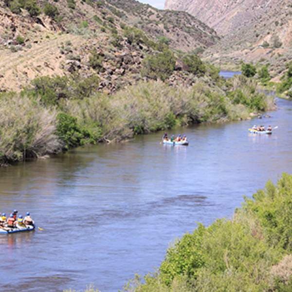
Near Virden, the lower Gila River slows, birdlife thickens, and wild canyon country opens into a calmer river corridor close to home. For residents who keep driving past on the way to somewhere else, the stretch above and below Virden offers a rare mix of paddling, birding, and desert history without the cost or crowds of bigger destination parks.
A river with three very different stretches
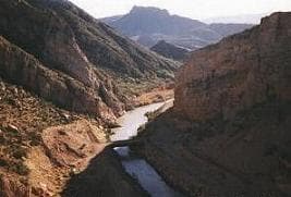
The Gila does not look or behave the same along its length, and that is the key to using it well. The river has a seven-mile run from the Gila Cliff Dwellings visitor center to the confluence with the East Fork, then a 38-mile Wilderness Run filled with lush canyons, springs, wildlife, and rapids, before it changes character again in its final 20 miles to Virden, where it slows and birdlife increases.
The upper sections are about moving through wilderness water and canyon country; the lower reach near Virden is the place to watch, pause, and look for birds along the bank. Side hikes in the corridor also lead to petroglyphs, which turns a river outing into a walk through the region’s older stories as well as its present-day recreation.
Why the lower reach stands out for birders
The Lower Gila Box is the heart of the birding payoff. It is a five-mile canyon, steep-walled and in places 600 feet deep — a “true oasis in the desert,” in the Bureau of Land Management’s words. BLM records show 265 bird species there.

The Lower Gila Box sits in the Gila Corridor Riparian Area, a migration route along the river, and New Mexico birding-trail materials estimate that about 170 species occur there throughout the year. That combination of migration, year-round habitat, and dense river vegetation is why the slower water near Virden attracts birders who might otherwise think of Hidalgo County only as a place to pass through.
The habitat improved dramatically after livestock were removed from the canyon in 1990. Cottonwood, willow, and other native riparian and aquatic plants re-established and flourished after that change, which helps explain the bird diversity seen there now.
Where to watch and what to expect
The most useful birding spots are the places where the river narrows, bends, or crosses a bridge. The Gila River-Virden Bridge NM-92 area continued to draw checklists in spring 2026, with single-visit counts ranging from the mid-20s to 37 species.
A few ways to use the corridor well:
- Fish for birds at the Virden Bridge reach, where the slower river and riparian edges make it easier to scan both banks.
- Spend time at Fisherman Point and the Lower Gila Box canyon, where the habitat is denser and the species list is longer.
- Pair a river visit with a short walk to see petroglyphs or other historic traces near the corridor.
- Save the faster, more remote upper runs for a different kind of trip, since the wilderness sections include rapids and more demanding water.
A landscape shaped by history and protection
The river corridor is not only a wildlife route. The Gila Wilderness was created on June 3, 1924, at the urging of Aldo Leopold, and at 559,688 acres it remains New Mexico’s largest wilderness and the world’s first designated wilderness. The Gila River runs through the heart of that wilderness, bringing water to a desert landscape marked by vertical cliffs, cathedral spires, and visible remnants of past cultural use.
The forest contains three designated wilderness areas totaling 792,584 acres, or about 24 percent of the forest. In 2024, the U.S. Forest Service marked the 100th anniversary of the Gila Wilderness with the designation of a 100-mile Centennial Loop.
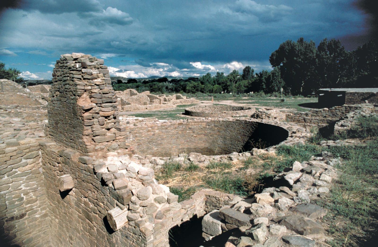
The Gila Cliff Dwellings were occupied in the late 1200s by agricultural Mogollon people for one or two generations, and Gila Cliff Dwellings National Monument is the only National Park Service unit that preserves and interprets Mogollon cultural history.
Why the lower Gila still needs attention
The Lower Gila Box is also a policy landscape, not just a scenic one. The Bureau of Land Management manages it as a wilderness study area and as both an Area of Critical Environmental Concern and a Special Recreation Management Area. The ACEC covers about 6,490 acres.
Audubon identifies three Important Bird Areas along the Gila River, among them the Lower Gila Box IBA, and describes the river as supporting more than 250 bird species and one of the highest concentrations of breeding birds in North America. The southwestern willow flycatcher was listed as federally endangered in 1995, and a 2002 recovery estimate put the population at only 900 to 1,100 pairs. The Gila Conservation Coalition puts the bird list even higher, with more than 300 species recorded, and says the streamside corridor also supports species such as the threatened loach minnow.
The community was originally known as Richmond and was established by the New Mexico Mining Company before later becoming home to Mormons who left the Mexican Colonies during the Mexican Revolution.
This article was produced by Prism’s automated news system from verified source data, official records, and press releases, then run through automated quality and moderation checks before publishing. The system is built and supervised by the people who set the standards it runs under. Read our full AI policy.
Did this article answer your question?