Report maps groundwater flow in Hidalgo County basins
Hidalgo County relies mostly on groundwater, and a 2002 state model shows the Lower Animas and Lordsburg basins are shared systems, not isolated wells.
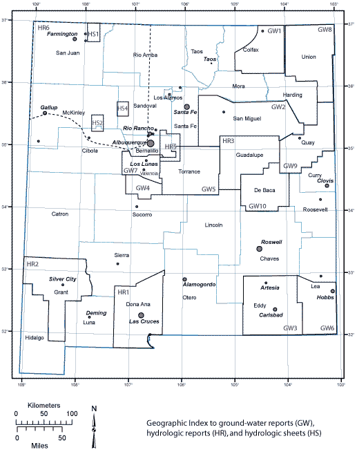
Hydrology Report 02-06, published in July 2002, mapped how groundwater moves through the Lower Animas and Lordsburg basins across Grant and Hidalgo counties, showing why pumping, drought, and new demand can ripple far beyond one ranch, one home well, or one town.
What the 2002 map is really doing
Hydrology Report 02-06, written by Michael S. Johnson and Douglas H. Rappuhn for the New Mexico Office of the State Engineer Technical Division, is titled *Hydrogeology and Preliminary Simulation of Ground-Water Flow in the Lower Animas and Lordsburg Basins, Grant and Hidalgo Counties, New Mexico*. It is a basin-wide look at how water enters the system, moves through valley-fill sediments, and responds when people pump it out.
The phrase “preliminary simulation” means the hydrologists were building an early model of the underground system, one that can test how recharge, pumping, and drought may change water levels over time. In plain terms, the report helps answer a question in southwest New Mexico: if the aquifer is being drawn down faster than it refills, where does the pressure show up first?
A 2000 New Mexico Geological Society overview by John F. Kennedy, John W. Hawley and Molly M. Johnson described basin-fill aquifers and connected groundwater-flow systems in southwestern New Mexico. Valleys such as Lower Animas and Lordsburg do not sit on top of isolated underground pools. They sit on linked geologic materials that store and move water across county lines.
Why Hidalgo County should care
Hidalgo County is small in population but large in land area, and that combination makes groundwater even more important. The county had 4,214 people and covered 3,445.63 square miles in a 2024 factsheet from the University of New Mexico’s Southwest Environmental Finance Center. The Gila River is the county’s only perennial stream, and it crosses the northern panhandle rather than serving as a countywide supply.
Groundwater carries much of the load. In the 2024 factsheet, most water used in Hidalgo County came from groundwater, and total withdrawals in 2015 reached 52,201 acre-feet. Of that total, 90% came from groundwater and 10% from surface water.
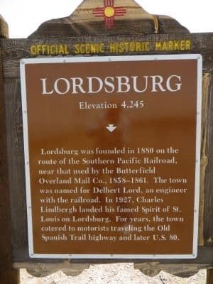
The Lower Animas Basin and Lordsburg Basin tie that supply to places residents know by name, including Animas and Lordsburg, but the water system itself extends beyond municipal boundaries and into Grant County. One community’s pumping choices, drought stress, or development pressure can affect neighbors elsewhere in the same basin.
Recharge, drawdown and the risk of shortage
Groundwater is replenished through recharge, then removed by pumping, evaporation from connected systems, and natural discharge. In a dry region, that balance can turn negative quickly, especially when year-to-year surface water is erratic and underground reserves become the backstop.
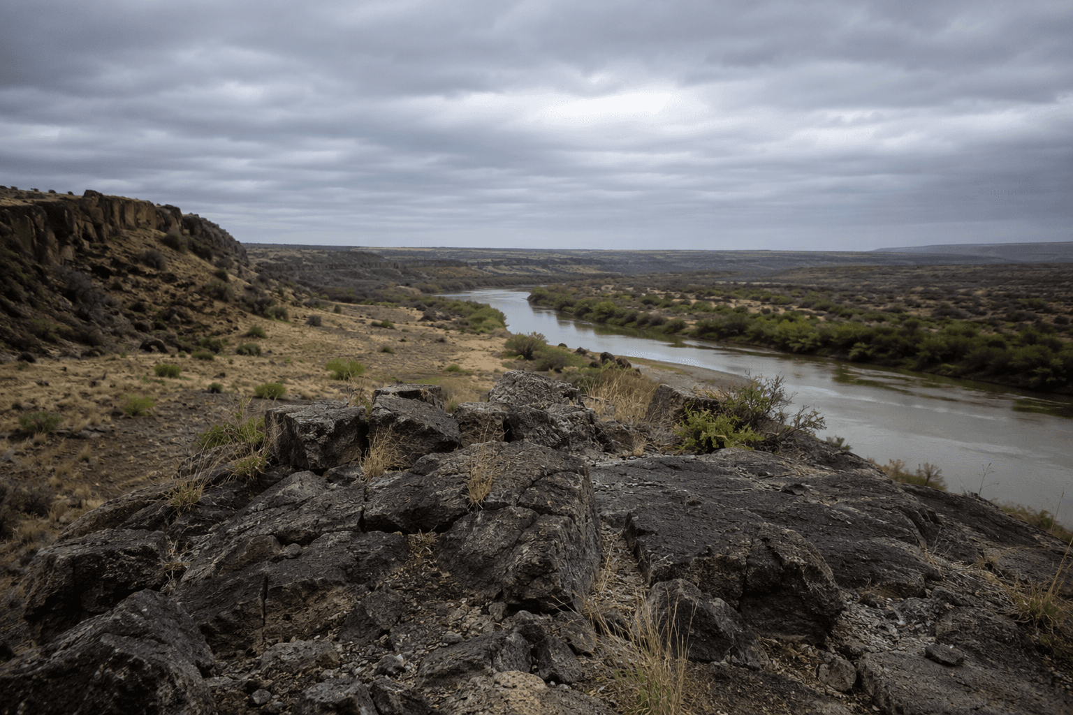
In southwest New Mexico, regional surface water flows vary sharply from year to year, driven mainly by snowmelt and monsoonal rainfall, with long low-flow periods punctuated by short, high-volume events. That pattern makes steady recharge hard to count on. When rain and runoff arrive in bursts, they do not automatically restore groundwater fast enough to keep pace with pumping, which is why the report’s model work matters for long-term planning.
For residents, the practical signals are familiar even if the science is not. Wells that need deeper pumping, changing well yields, rising costs to lift water, and greater competition from new withdrawals are all signs that an aquifer is under stress. The 2002 report gives county and state planners a shared picture before a shortage becomes a crisis.
A long paper trail behind today’s basin decisions
The Lower Animas and Lordsburg work did not appear out of nowhere. An open-file report from June 1981 compiled water-level data for a hydrogeologic study of Animas Valley in Hidalgo County. A 1982 New Mexico Bureau of Mines and Mineral Resources circular examined the Quaternary geology of Lake Animas. Even earlier, a 1918 U.S. Geological Survey report by A. T. Schwennesen covered groundwater in the Animas, Platas, Hachita and San Luis basins.
New Mexico’s regional water planning process began in 1987, and the 2017 Southwest New Mexico Regional Water Plan includes Hidalgo County in the Southwest Region. On January 10, 2019, the Office of the State Engineer issued *Guidelines for the Lordsburg Underground Water Basin for Review of Water Right Applications*. The state’s declared groundwater-basin system also identifies Lordsburg as a finalized groundwater basin, which gives water-right applications and long-term planning a formal framework.
This article was produced by Prism’s automated news system from verified source data, official records, and press releases, then run through automated quality and moderation checks before publishing. The system is built and supervised by the people who set the standards it runs under. Read our full AI policy.
Did this article answer your question?