USGS study explains how volcanic forces shaped western Hidalgo County
Volcanic rocks, faults and erosion still shape water, roads and ranching across western Hidalgo County. A 1988 USGS bulletin explains why.
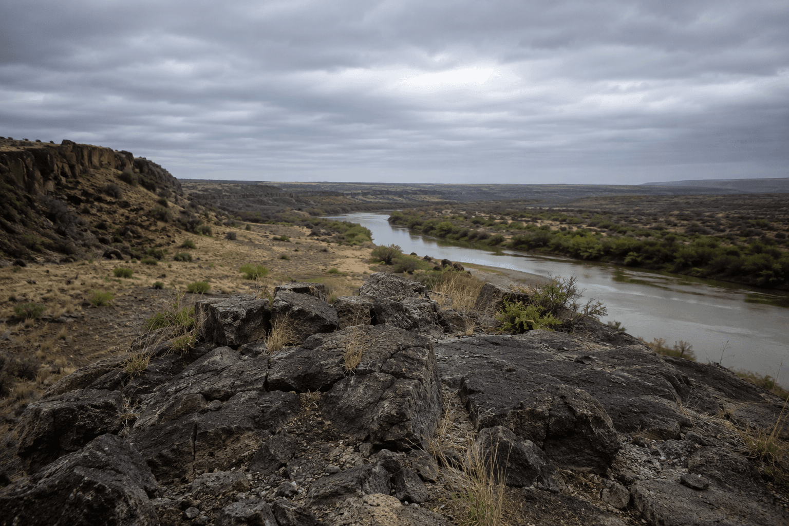
D. H. McIntyre’s 1988 USGS Bulletin 1671, a brief 18-page study of volcanic geology in the southern Peloncillo Mountains, lays out the rock record behind the hard western edge of Hidalgo County, where water runs, roads bend, and ranch country thins out into rugged border terrain.
A small bulletin with lasting reach
McIntyre’s bulletin remains a foundational reference because it captures the volcanic structure behind a mountain chain that has drawn repeated mapping for decades. Earlier work includes Elliot Gillerman’s 1958 Bulletin 57 on the central Peloncillo Mountains in Hidalgo County, New Mexico, and Cochise County, Arizona, followed by a 1978 circular by A. K. Armstrong, M. L. Silberman, V. R. Todd, W. C. Hoggatt and R. B. Carten on the central Peloncillo Mountains. The same ground kept attracting detailed study long after McIntyre’s report, including a 2002 USGS map product for the southern Peloncillo Mountains and a 2013 master’s thesis on the South Antelope Pass area.
The Peloncillos sit at a place where geology controls daily geography. The volcanic record helps explain the ridges, cliffs and broken slopes that define the county line country, and the erosion that has carved the washes and basin edges residents see from ranch roads and county tracks.
Why the mountains shape the ground below them
They were built by volcanic activity, faulting, uplift and erosion, a combination that left behind steep volcanic rock, thin soils and abrupt elevation changes. Those conditions make some ground firm enough for travel and grazing, while other stretches remain too rocky, steep or dissected for easy crossing.
That same geology affects what grows there. Thin rocky soils and fast runoff favor different plant communities than the lower basin floor, so vegetation shifts from basin scrub to higher-elevation mountain communities over short distances.
Animas sits inside that terrain, not beside it
Animas is an isolated ranching and farming community in the far southwestern part of Hidalgo County. The community sits in a part of the county where mountain blocks, basin edges and broad open country are all close together, so geology quietly shapes access, land use and the routes people take from one place to another.
Hidalgo County itself was created in 1919 and named for Miguel Hidalgo y Costilla, and the county’s western borderlands have long been organized around small settlements and working lands rather than dense development. The volcanic country west of Animas still frames where ranching can happen, where roads can be maintained, and where people can move across the borderland landscape.
Water moves through the same rock record
The geology also influences where runoff goes after storms, where springs can appear and how groundwater moves through the basins. A 2002 hydrology report covers ground-water flow in the lower Animas and Lordsburg basins in Grant and Hidalgo counties, while a circular on the geology and geothermal waters of the Lightning Dock region covers Animas Valley and the Pyramid Mountains in Hidalgo County.
Water in western Hidalgo County is not just a question of surface runoff after summer storms. The volcanic and faulted terrain helps set the pathways that groundwater follows underground.
A borderland habitat built on geology
The Peloncillo region also sits inside a broader Sky Island borderlands landscape, where ecology and geology overlap. A 2005 synthesis, Natural Heritage of the Peloncillo Mountain Region, brought together work by conservation and research groups including Sky Island Alliance and the World Wildlife Fund’s Chihuahuan Desert Program.
Here, habitat, access and land stewardship move together. Rugged volcanic ridges can create movement corridors for wildlife and barriers for vehicles and livestock. Washes and basin margins can become flash-flood routes after storms. The same landforms that make the county’s edge visually dramatic also influence where conservation planning, grazing decisions and road maintenance need to focus.
Why the county keeps returning to the Peloncillos
The 1958 geology bulletin, the 1978 circular, the 1988 USGS Bulletin 1671, the 2002 map product and the 2013 South Antelope Pass thesis all point to the same conclusion: the southern Peloncillo Mountains are one of the key pieces of ground for understanding western Hidalgo County.
This article was produced by Prism’s automated news system from verified source data, official records, and press releases, then run through automated quality and moderation checks before publishing. The system is built and supervised by the people who set the standards it runs under. Read our full AI policy.
Did this article answer your question?