Broadband drilling slurry clouds Redwood Creek, reaches South Fork Eel River
Drilling waste from a broadband project turned Redwood Creek milky near Redway and reached the South Fork Eel River. Regulators are now sorting out cleanup and permit responsibility.
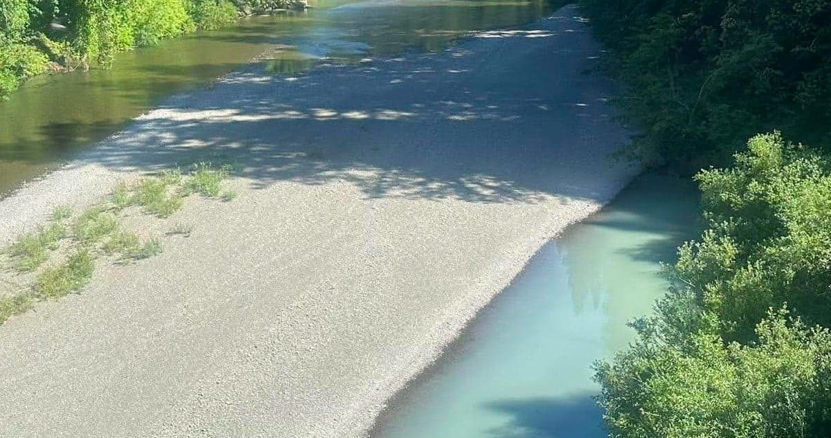
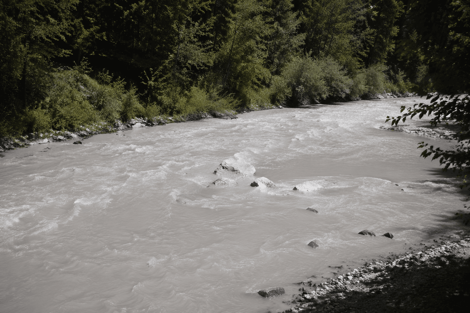
A broadband buildout meant to bring faster internet to Southern Humboldt instead left an opaque bluish-white plume in Redwood Creek and, by June 4, in the South Fork Eel River. The spill landed in a watershed where residents swim, fish and draw household water, putting a public infrastructure promise in direct conflict with immediate environmental harm.
A Cal OES hazardous materials spill report first documented the substance on Tuesday, June 2, 2026, in Redwood Creek near Briceland Thorn Road west of Redway, between Seely Creek and the Eel River. Community members said the plume had appeared the previous Saturday, cleared, then returned. By Thursday, photos and reporting showed it had reached the South Fork Eel River.
Investigators believed the material was drilling slurry, likely a bentonite mixture from nearby drilling activity tied to California’s Broadband for All program, although lab confirmation had not yet come in. The state’s broadband push was created under SB 156, which set aside $3.25 billion for an open-access middle-mile network, and California’s broader broadband investment now totals $6 billion when middle-mile, last-mile, loan loss reserve and technical assistance funding are included. In Humboldt County, that money has already been significant: in August 2024, the California Public Utilities Commission recommended more than $35.3 million in state grants for county broadband projects, and later approvals added more awards affecting Humboldt and neighboring counties.
The spill also hits a watershed already under stress. The North Coast Regional Water Quality Control Board says Redwood Creek is listed under California’s Section 303(d) impaired waters list for sediment and temperature. The creek watershed covers about 280 square miles, runs roughly 35 miles north of Eureka to the Pacific Ocean at Orick, and its lower reach and estuary lie inside Redwood National and State Parks. The board describes it as an important salmonid stream, which makes any new contamination especially sensitive.
Now the questions are practical as much as environmental: what is in the water, whether permits were in place, and who pays for cleanup if drilling waste reached the creek from a subcontractor working on the state broadband project. California rules require significant hazardous-material releases to be reported immediately to the State Warning Center or local emergency responders, and that reporting chain is now part of the scrutiny as Southern Humboldt weighs long-delayed connectivity against damage to one of its most important waterways.
This article was produced by Prism’s automated news system from verified source data, official records, and press releases, then run through automated quality and moderation checks before publishing. The system is built and supervised by the people who set the standards it runs under. Read our full AI policy.
Did this article answer your question?