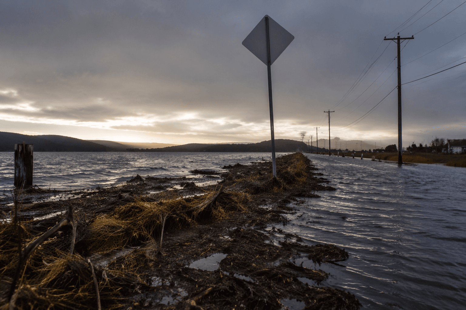
High tides could cause minor flooding around Humboldt Bay
Overnight high tides threatened minor flooding in King Salmon and the Arcata Bottoms, with Jackson Ranch Road singled out and saltwater possible 1 to 2 hours around high tide.
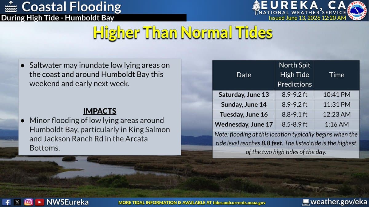
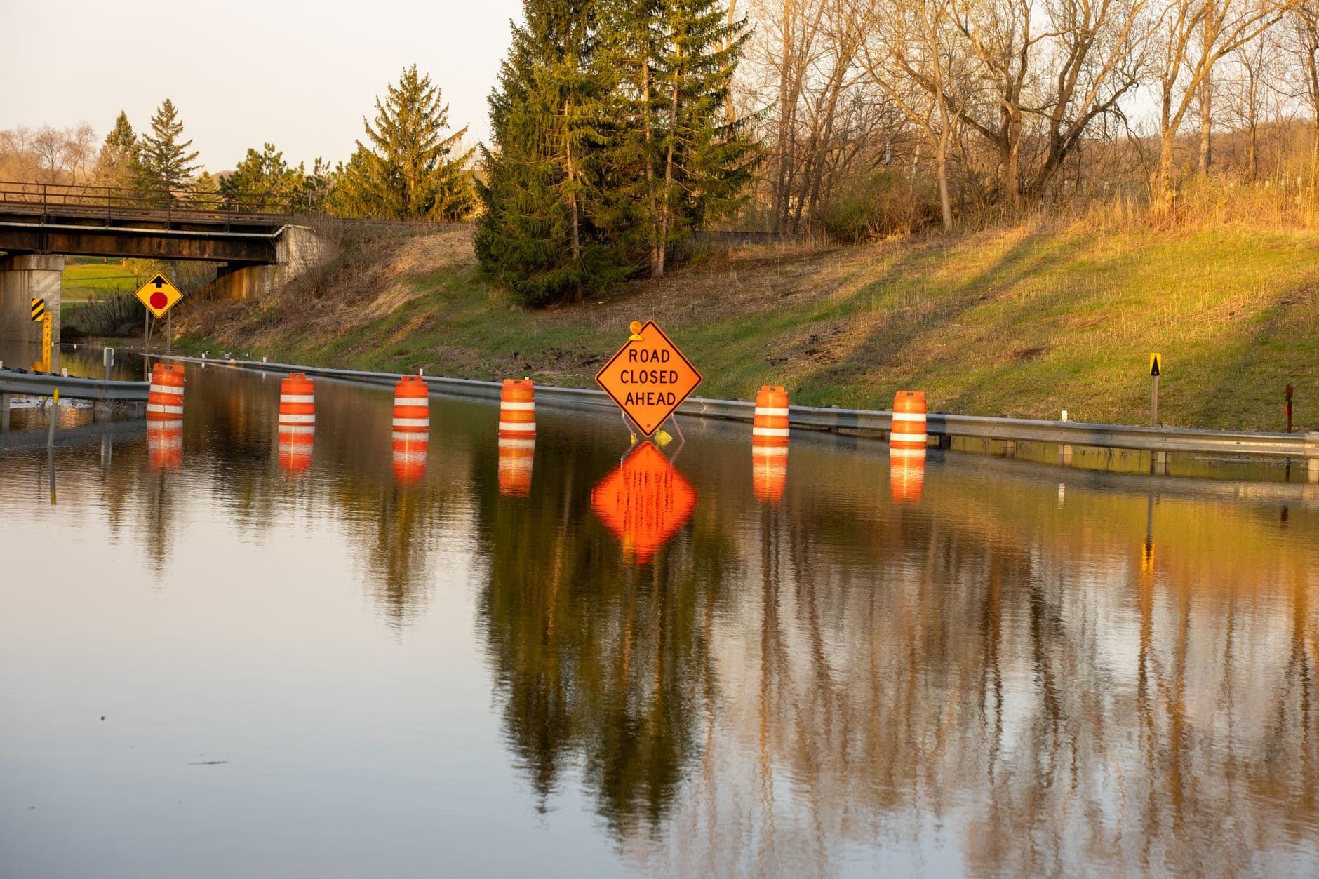
Overnight high tides were expected to push saltwater into low-lying parts of Humboldt Bay, with the National Weather Service office in Eureka warning that King Salmon and the Arcata Bottoms faced the clearest risk. Jackson Ranch Road was singled out as a likely trouble spot, along with several roads in King Salmon, as minor flooding spread near shorelines and tidal waterways.
The advisory said inundation could begin 1 to 2 hours before high tide and continue for 1 to 2 hours after, making the overnight period the most likely window for problems. The weather service said flooding of low-lying areas around Humboldt Bay, including parks and roads, would likely stay minor, with only isolated closures expected. It also said up to 0.5 foot of saltwater inundation above ground level was possible near the coast and along tidal channels.
A later Eureka forecast discussion added another wrinkle: long-period swells combined with the high astronomical tides would increase the chance of minor coastal flooding around Humboldt Bay. That risk extended beyond a single spot, with the service again pointing to King Salmon and low-lying roads near the Arcata Bottoms as the most vulnerable areas.

The warning covered a run of similar high tides that were forecast to continue through Tuesday, June 16, 2026. For residents, commuters, and anyone traveling through the bay’s low-lying road network, the message was clear: the highest risk came during overnight tide cycles, especially where water routinely backs up along roads and drainage routes.
This article was produced by Prism’s automated news system from verified source data, official records, and press releases, then run through automated quality and moderation checks before publishing. The system is built and supervised by the people who set the standards it runs under. Read our full AI policy.
Did this article answer your question?