Paint River offers 45-mile paddling route through Iron County
Paint River gives Iron County paddlers a 45-mile route from Crystal Falls country to the Menominee, with a three-day to one-week window and trout water along the way.
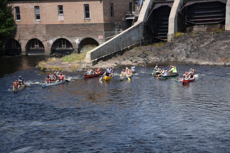
The Paint River gives Iron County paddlers a route that is long enough to feel like a real trip and specific enough to plan around. The City of Crystal Falls places the run at 45 miles through Iron County and says a trip can take anywhere from three days to one week, depending on how you stage it and how fast you move.
A river that reads like a map of Iron County
The Paint River rises in the western part of Iron County, then flows easterly and southeasterly into the Brule River before joining the Michigamme River to form the Menominee River. That path makes it one of the clearest water routes for understanding how the county fits together, especially if Crystal Falls is your point of reference.
That broad course is part of the appeal for anyone wanting a paddle with real structure. One paddling app describes the river as stretching about 42 miles and flowing easterly through Iron County, while the Crystal Falls canoeing page uses the 45-mile figure. The difference is small, but it is useful for trip planning because it shows that route estimates can vary depending on what section is being measured.
What the water and riverbed tell you
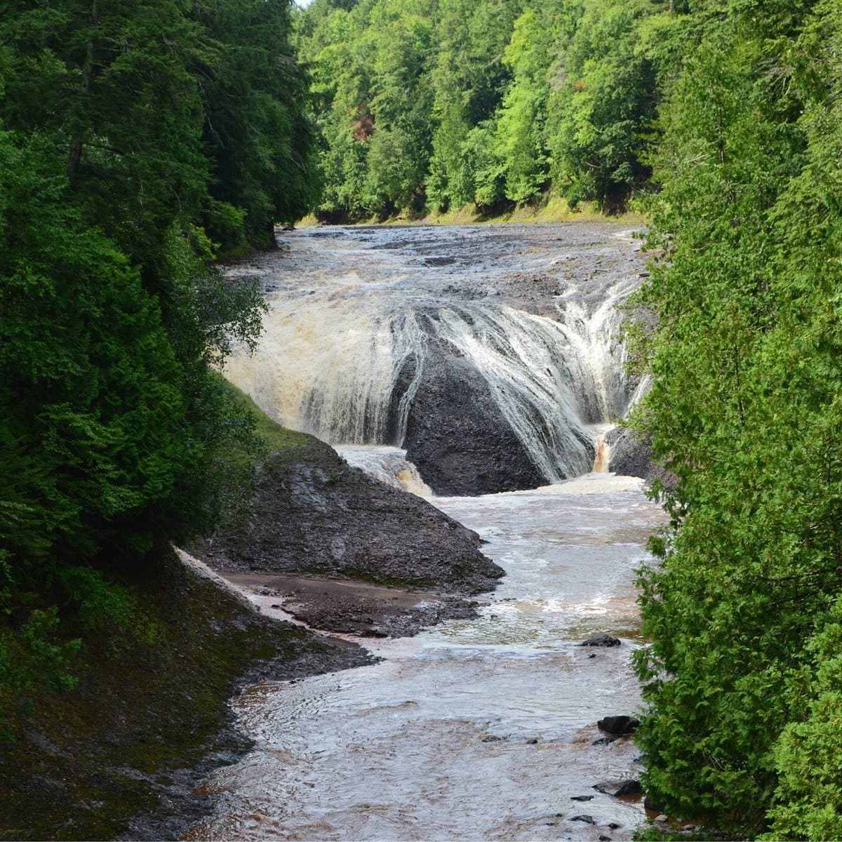
The Paint River bottom is gravel, sand, and rock, a mix that shapes how the river feels under a canoe or kayak. It also affects where the river holds water, where the flow quickens, and where anglers and paddlers are most likely to find usable shorelines.
That substrate matters because the Paint is not presented as a lazy half-day float. The Crystal Falls trip estimate of three days to one week points to a river corridor that rewards pacing, especially if you want to build in camping, fishing, or time for side trips along the way. On a route this length, weather and water levels matter as much as mileage.
Why Crystal Falls and Iron County keep coming back to this river
Iron County has more than 250 lakes and 200 miles of rivers, and 43 miles are considered Blue Ribbon Trout Streams by the Iron County Chamber of Commerce. In that context, the Paint is not an isolated feature. It sits inside a countywide culture of water, fishing, and paddling that gives visitors and residents several ways to use the same landscape.
That larger setting is not new. A 1973 Michigan Department of Natural Resources technical report, The Trout Streams of Michigan No. 15: The Paint River, called the Paint River the dominant river system in Iron County. That description still fits the way locals talk about the water today, especially when Crystal Falls is the launch point in people’s heads even when the exact put-in may vary.
Fishing adds another layer to the paddle
The river is generally known for smallmouth bass, but the fishing picture is broader than that. Some feeder streams have trout, and there are trout in the Upper Paint, which makes the river useful for paddlers who also fish or who want to understand the habitat as they move downstream.
The South Branch Paint River adds a more focused trout-stream identity. Michigan Department of Natural Resources reporting identifies it as a popular trout stream and says it was included in the Ottawa National Forest’s 2007 Wild and Scenic River Comprehensive River Management Plan. The same DNR material says brown trout and brook trout are both present there and are maintained by natural reproduction, with brown trout often caught in excess of 20 inches and brook trout reaching 12 inches.
That South Branch detail matters for practical reasons too. A DNR storymap excerpt says kayak and canoe navigation is possible there, although low flow can require dragging over short distances. For a trip built around flexibility, that is the kind of note that can save a day on the water.
A route with working-river history
The Paint River corridor also carries the mark of older Northern Michigan river use. Woods N Water News has noted that log-driving remnants still remain along many rivers in the region, a reminder that these waterways were once working routes as well as recreation corridors.
That history gives the Paint a different texture from a purely scenic paddle. The same channel that now draws kayakers, canoeists, and anglers was shaped by a long relationship between timber, transport, and river management, and those layers still matter when you look at how the river moves through Iron County.
How to use the route without overcomplicating it
The Paint works best when you treat it as a multi-day river rather than a quick afternoon float. The most useful planning anchor is the 45-mile figure from Crystal Falls, then you can scale the trip up or down based on where you get on and off, how much time you want to spend fishing, and how much gear you want to carry.
- Build around the three-day to one-week window the City of Crystal Falls gives for the route.
- Expect some variation in mileage, since one paddling source rounds the river to about 42 miles.
- Use the South Branch caution as a reminder that low flow can mean short drag sections.
- If you are mapping the river digitally, PaddleWays lists a paddling location at 46.14447N, 88.43032W.
A simple planning checklist helps:
For families, casual kayakers, and weekend visitors, that combination is the real value of the Paint River. It is long enough to feel like a getaway, grounded enough to navigate with confidence, and tied closely enough to Crystal Falls and Iron County geography that the trip doubles as a lesson in where the county’s water actually goes.
This article was produced by Prism’s automated news system from verified source data, official records, and press releases, then run through automated quality and moderation checks before publishing. The system is built and supervised by the people who set the standards it runs under. Read our full AI policy.
Did this article answer your question?