La Paz County’s roadside markers trace history across highways and towns
Thirty-three La Paz County marker entries turn the roads into a history trail, from Bouse’s Camp Bouse story to Quartzsite’s easy I-10 stop.
La Paz County’s history is spread across the roads themselves. The Historical Marker Database turns up 33 marker entries here, and that density matters in a county where more than 56% of residents live in rural areas and many destinations sit well outside a traditional downtown walk.
A county built for a driving history tour
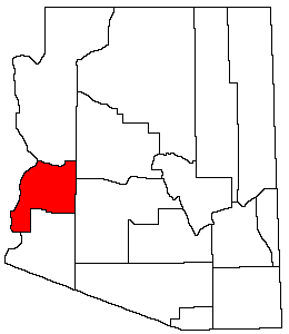
La Paz County is Arizona’s 15th county, created on Jan. 1, 1983, from the northern half of Yuma County, with Parker as the county seat. Its western edge is the Colorado River, and the Water Resources Research Center says annual precipitation ranges from 2 to 20 inches depending on elevation and location. That combination of sparse rainfall, long distances, and river-border geography helps explain why the county’s marker trail is stitched together by highways, townsites, cemetery grounds, and old mining corridors rather than a single museum district.
That also changes what a practical road guide should do. The key question is not just what each marker says, but whether it is easy to spot from a major route, whether there is room to pull over safely, and whether nearby local governments or the state have kept the sign, plaque, and visitor information legible. In La Paz County, the difference between a usable roadside stop and a forgotten relic can be one missing plaque.
Bouse and Camp Bouse anchor the military story
Bouse carries some of the county’s most distinctive roadside history. The marker inventory includes the 736th Tank Battalion, M SP and the 738th Medium Tank Battalion, Special, with the latter identified as World War II-era and dated 1943 to 1945. Those markers place Bouse in a military geography that is easy to miss if you think of La Paz County only as a mining or river county.
The larger story points to Camp Bouse in Butler Valley. Arizona DAR described it as a top-secret World War II training camp established by Gen. George Patton, and Roadside America described the Bouse armored-vehicle display as a belated acknowledgment of a super-secret military project there. Taken together, the markers and the Camp Bouse references show a history that is not abstract or commemorative in the distant sense, but tied to a specific desert training landscape that once sat hidden in plain sight.
For visitors, Bouse is the clearest example of why roadside preservation is more than a plaque on a wall. The historical value depends on being able to connect the marker to the broader site story, and that means the county and surrounding communities have a real role in keeping directions, roadside visibility, and explanatory material current enough for travelers to understand what they are seeing.
Quartzsite and the most convenient roadside stops
Quartzsite sits closer to the flow of through traffic, which makes it one of the easier places to use the marker trail without building a full day around it. Arizona Department of Transportation points readers to roadside marker examples such as the Hi Jolly Monument off I-10 in Quartzsite, the kind of stop that can be folded into a highway trip if signage is clear and the pull-off is obvious.
ADOT’s broader reminder is useful for La Paz County: drivers pass these monuments every day without noticing them. In Quartzsite, that means a marker can work as a quick stop only if the access points are obvious enough that travelers do not need local knowledge to find them. In a county with heavy seasonal traffic and long stretches of open road, that practical visibility is part of preservation.
Salome, Harrisburg, and the ghost-town corridor
The marker inventory also reaches into the county’s settlement history, especially around Salome. The Harrisburg marker appears near Salome in La Paz County, making it a useful waypoint for readers tracing the older camps and boom-bust places that came before the present highway pattern. HMDB also ties La Paz County to Pioneer Cemetery and McMillenville, which broadens the story beyond obvious tourist stops and into the places where memory survives in cemeteries and old townsites.
That matters because the county’s historical record is not neatly packaged. Some sites are meant to be driven past, some require a deliberate detour, and some sit in places where only a local turnoff or a cemetery road gets you close enough to read the marker. If county or town maintenance is uneven, these are the places where history slips out of public reach first.
What the missing McMillanville plaque says about upkeep
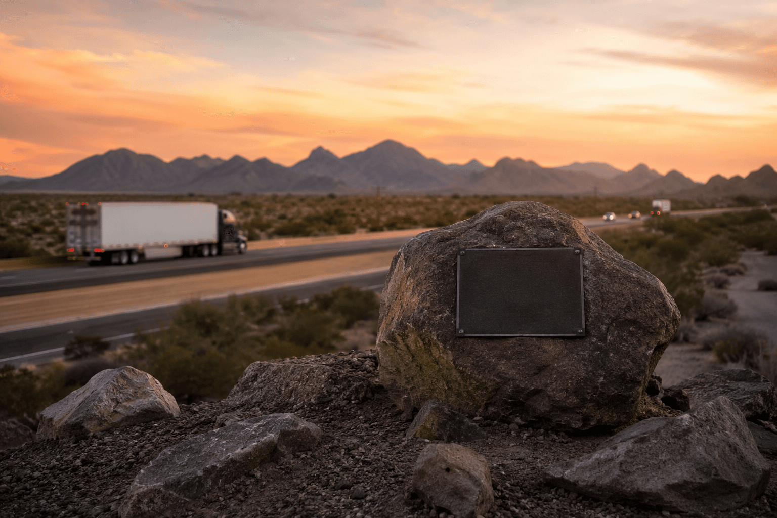
The clearest sign that roadside preservation needs attention comes from McMillanville. ADOT’s blog about the missing McMillanville historical marker says a stone marker along US 60 was found without its metal plaque. The stone base remained, but the informational panel that made the marker useful to travelers was gone.
That detail is more than a curiosity. A marker without its plaque can still mark a place, but it no longer does the full job of interpretation. For La Paz County, where so much heritage sits beside highways and in lightly populated areas, maintenance is not a side issue. It is the difference between a roadside object and a functioning public history site.
How to use the marker trail well
A workable La Paz County route should be built around access, not just names on a list. Start with the places closest to major traffic, then move outward to the more remote townsites and cemetery markers. The county’s geography means some stops will be quick pull-offs and others will feel like a detour into the desert itself.
Useful planning points include:
- Quartzsite offers the easiest highway-linked stop, especially for travelers already using I-10.
- Bouse is the strongest destination for military history, especially for the Camp Bouse story tied to Gen. George Patton and the 1943 to 1945 tank battalion markers.
- Salome and nearby ghost-town locations make the most sense for a slower drive focused on settlement history, cemetery sites, and former camps.
- McMillenville is the clearest reminder to check whether the plaque, sign, and roadside access are still in place before counting on a stop.
Arizona Highways has said the state has hundreds of roadside historical markers, and La Paz County’s 33 entries show how concentrated that system can be in a rural county. The real measure of preservation here is not only how many markers exist, but whether Parker, Quartzsite, Salome, Wenden, Bouse, and the county itself keep those roadside stories readable to the people who are already passing them.
This article was produced by Prism’s automated news system from verified source data, official records, and press releases, then run through automated quality and moderation checks before publishing. The system is built and supervised by the people who set the standards it runs under. Read our full AI policy.
Did this article answer your question?